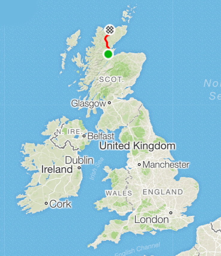
Alness (roughly) to Bettyhill
The ride
The penultimate day of our ride. As I said yesterday, we didn’t stay in Alness but in Evanston, so to get onto the official route we couldn’t just use our Garmin/Wahoos, we actually had to listen to instructions and obey them. The instructions were simple enough: turn left out of the hotel, turn left at the T junction, and then you’ll be fine. I did manage this, but when it’s two miles to the T junction, and then two miles (at least) before you pick up the route, and it’s a bit hilly (downhill, so if you’re wrong you have to go back uphill), you do begin to doubt yourself.
Fortunately, Dan was behind me and, with the confidence of youth, reassured me, and we did soon get on the right track.
We started by cycling through Ardross and climbing towards a beautiful view over Dornoch Firth. Here is a view from the climb.
 Climbing up to see Dornoch Firth
And here is me at the top, taken by a German tourist (I have met lots of German tourists in Scotland; I hope they continue to come in the future).
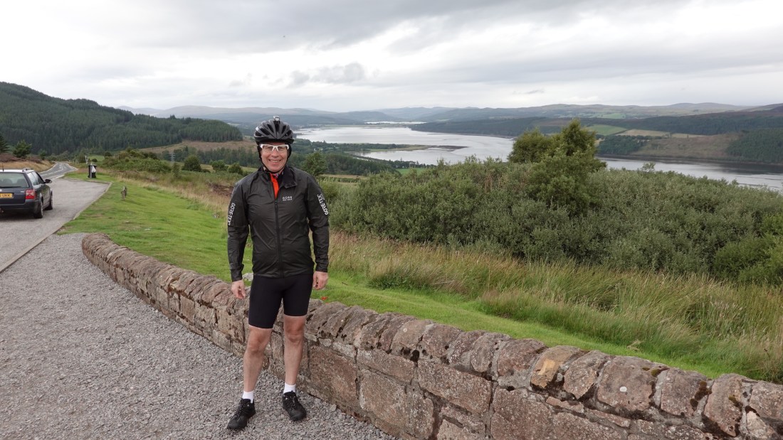 Jim turning his back on Dornoch Firth
I have been conscious throughout the ride that I am clad mostly in black, either in black cycle shirts or in the rain jacket you see here. The rain jacket, apparently, is like the Ford Model T—any colour you like, so long as it’s black. According to Cycling Weekly “the highly sophisticated Active Gore-Tex fabric can actually only be manufactured in black”. This is why I bought the helmet light that you can see in some photos, which I kept on during the day, and it’s why I think I’ll get some daytime running lights. There is a very persuasive Global Cycling Network (GCN) video about these.
 A view of the Firth
The benefit of all climbs is the descent afterwards, and the following ride down to the Bonar Bridge was brilliant. Here is a view from the bottom of the descent, at three different focal lengths.
 24 mm equivalent focal length (EFL)
 About 50 mm EFL, in black and white
 About 200 mm EFL. The little white arc in the middle of the hill is the road we came down
So far so good, and we headed towards Lairg. On the way we all stopped for coffee at the Falls of Shin, an amazing sight. The great thing at this time of year is to spot salmon heading up the falls, and we all congregated to see what we could see.
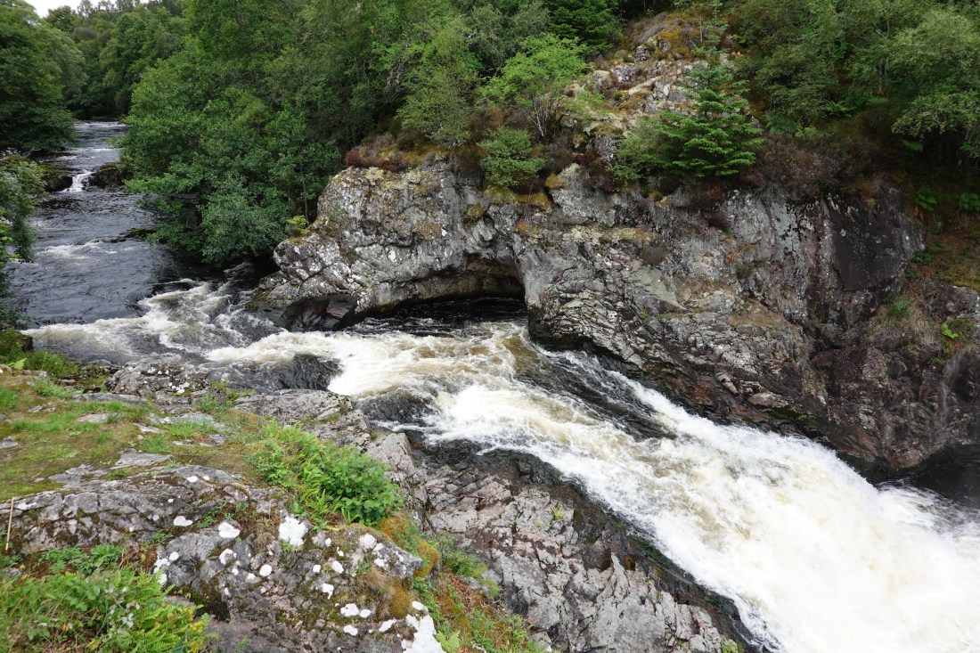 The Falls of Shin
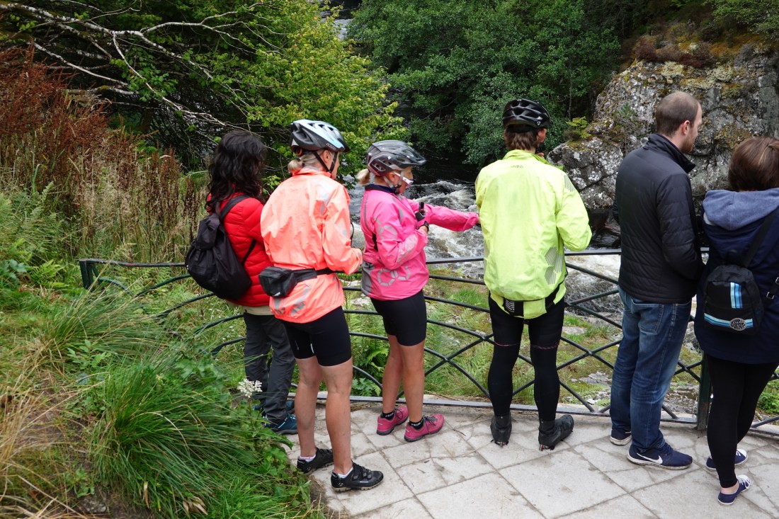 Salmon watching…
 Salmon leaping?
And we did see some! Karen saw three, I think, and I definitely saw two and maybe a third. It was hard to believe that any fish could have made it up past the falls, but I guess many do. We tried really hard to get a photo or video, and Dan captured one on his iPhone. As for me…see above.
As a scientist, I want to make it perfectly clear that the image above has been Photoshopped, deliberately badly, for comedic effect. Max and some other cycling chums will appreciate the significance of the joke.
The river was really impressive, and provided great photo opportunities.
 Photography
And then it was north again, through rather bleak and desolate open moorland and young forest. It wasn’t clear where the road was going or even why it was going there. But we were heading for the Crask Inn, perhaps Scotland’s most isolated Inn, a place that gets great reviews, and where tradition has it that Bike Adventures customers take lunch. By the time we got to the Inn the weather had turned again, and it was raining pretty hard.
 The road to nowhere, but which leads to the Crask Inn
I took a photo of Father Paul, and he asked me to take a photo of his soup (what?). Here it is, Paul.
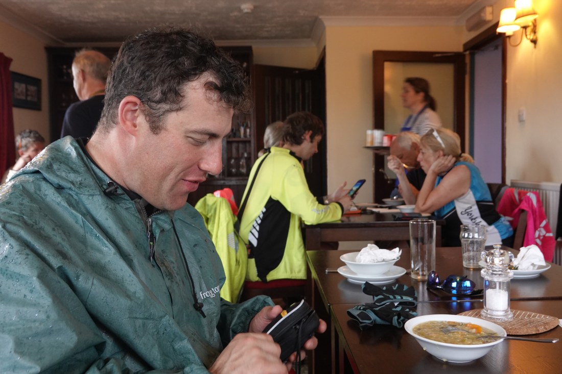 Father Paul in the Crask Inn
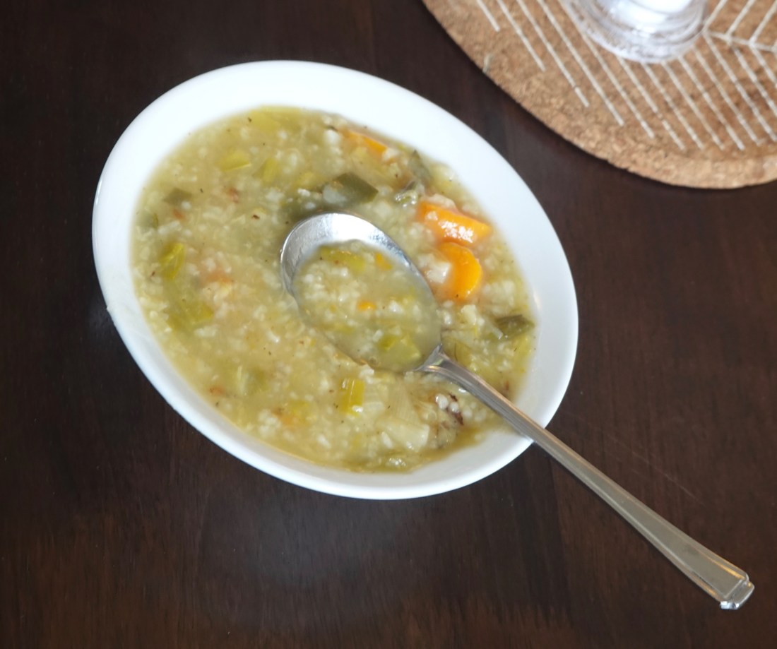 Paul’s soup
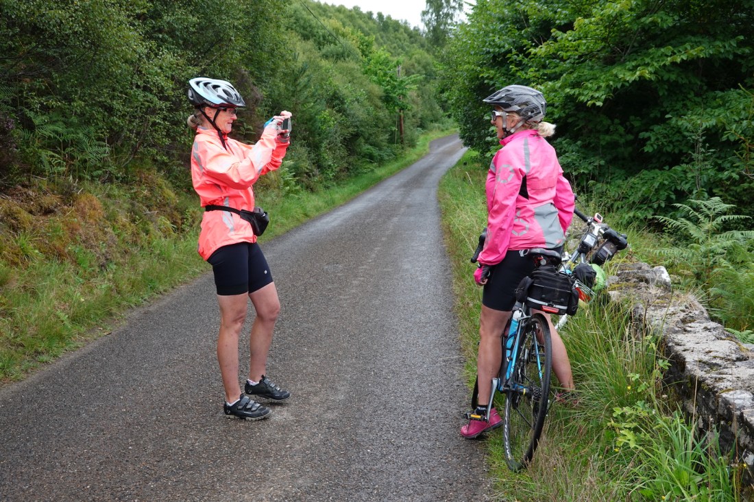
We left the Inn in the rain, and I was keen to get shifting. I met Jack and Pete at a photography point Jack and Pete
And then, for the last 20-odd miles I went as fast as I could for Bettyhill. As I have said before, I like the run-in to our destination, and I find I can get up quite a speed, so I really enjoyed this last part of the ride, especially as it was drying out by now. Although during this last section I didn’t increase my maximum speed, I did manage to increase my maximum average speed for a day, up to 15.8 mph. You can see from the stats below that my heart rate was increasing quite a bit during this period, and especially at the very end, during the steep-ish hill up to Bettyhill. (I realise this is of interest only to me!)
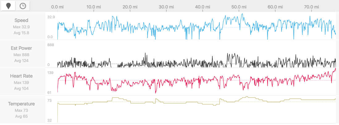 Stats. Note increasing heart rate towards the end
 The route and the profile. You can just see the climb into Bettyhill at the end
Bettyhill is a beautiful place at the mouth of the River Naver, made more beautiful by the fact that it is so close to John O’Groats…
 Getting there!
Here are a couple of views from the Bettyhill Hotel, where we stayed.
 Bettyhill from our hotel
 Bettyhill from our hotel, zoomed out
After a shower and my usual clothes-washing rituals I settled into the bar to finish yesterday’s blog, and enjoyed a large Highland Park. The mobile cinema was in town tonight, showing (I think) Mamma Mia. I was surprised, but nevertheless pleased, that in these days of YouTube and Netflix there is still a place for mobile cinemas. We had dinner in the hotel itself, perhaps the best food of the trip so far.
Bettyhill (and another excursion into etymology)
As for Bettyhill itself, the orginal village in this area was Farr, about a mile to the east; Bettyhill was only built between 1811 and 1821 and came about as a direct result of the Highland Clearances. The Strathnavar valley to the south of Bettyhill formed part of the one-and-a-half million acre estate of Elizabeth Leveson-Gower, Countess of Sutherland, and her husband, the Marquess of Stafford. During the Clearances, the by-then Duke and Duchess of Sutherland employed Patrick Sellar as a ‘factor’ (a trader who receives and sells goods on commission). Sellar cleared 15,000 people from the area as he forcibly replaced the old-style crofting communities with a much smaller number of sheep farmers. This accrued much higher rents, and at the same time greatly reduced the estate’s administrative burden.
In response, and ususually, the Countess Elizabeth had a replacement village built for the displaced crofters, on a hill at the mouth of the Naver. Hence Bettyhill.
 Morning briefing
 Railway bridge
 After two or three miles. Weather not too bad
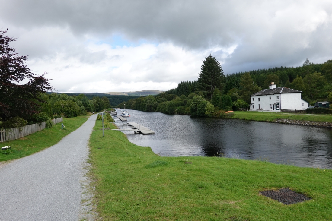 Caledonian Canal cycle path (1)
 Caledonian Canal cycle path (2)
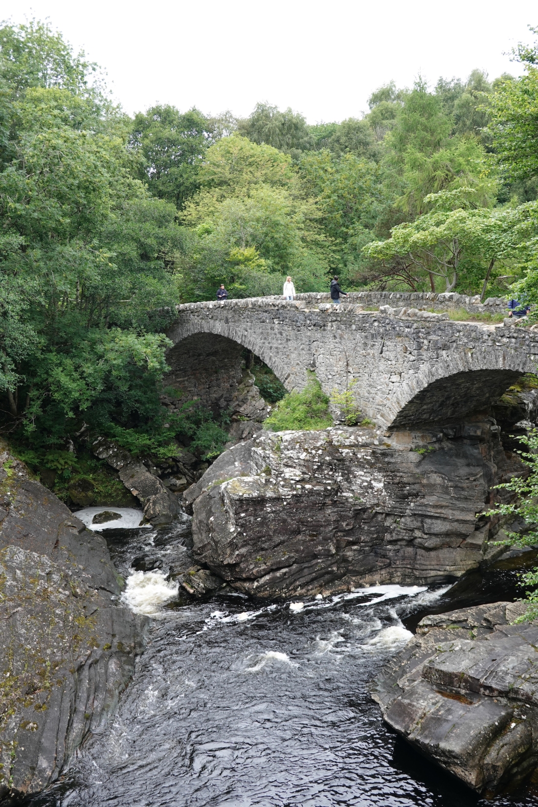 Bridge
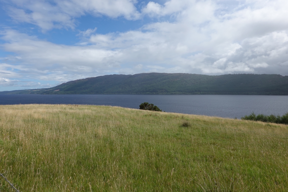 Weather on Loch Ness—how it changes
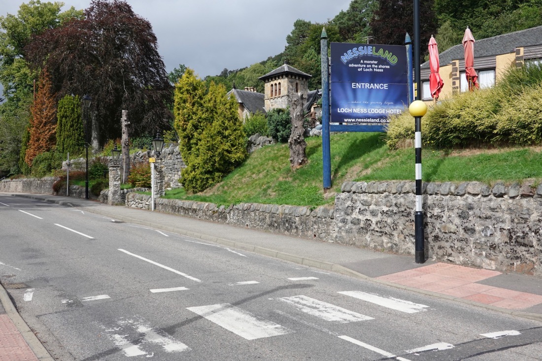 Nessieland. Give me strength
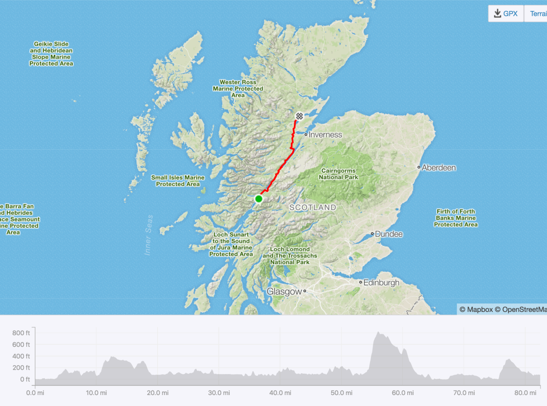 Today’s ride, with profile
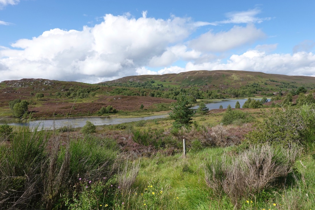 The view from the top of the climb
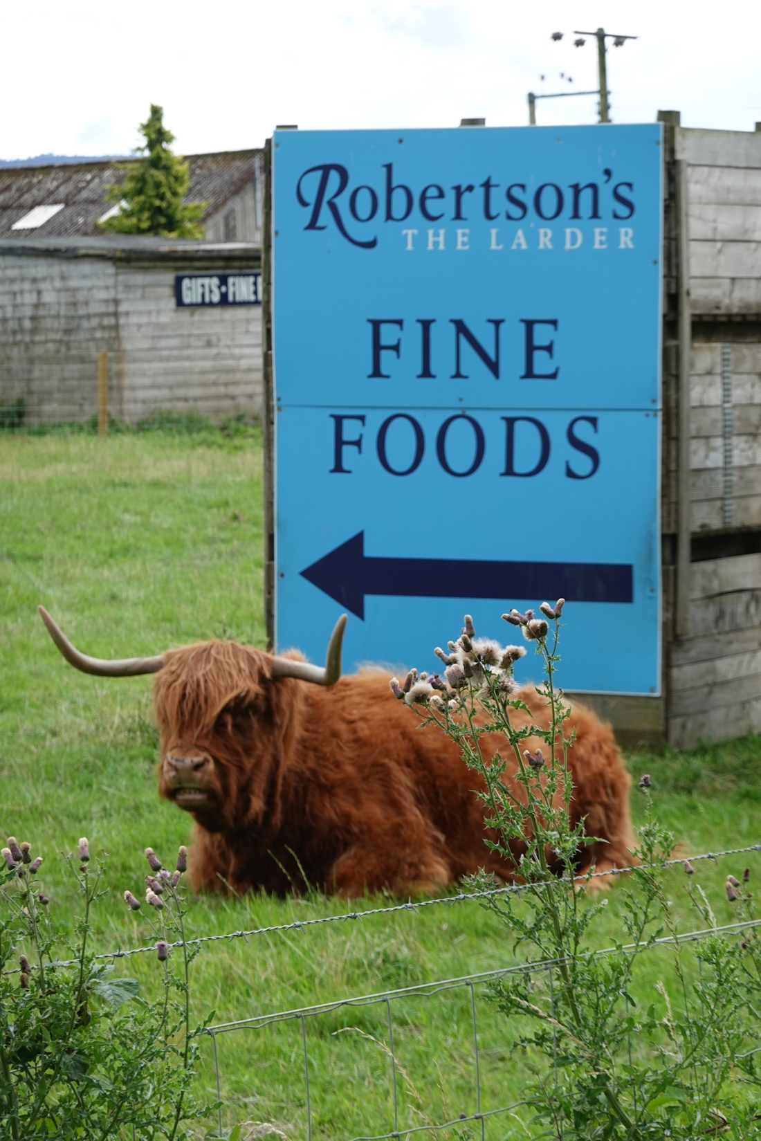 Highland cow
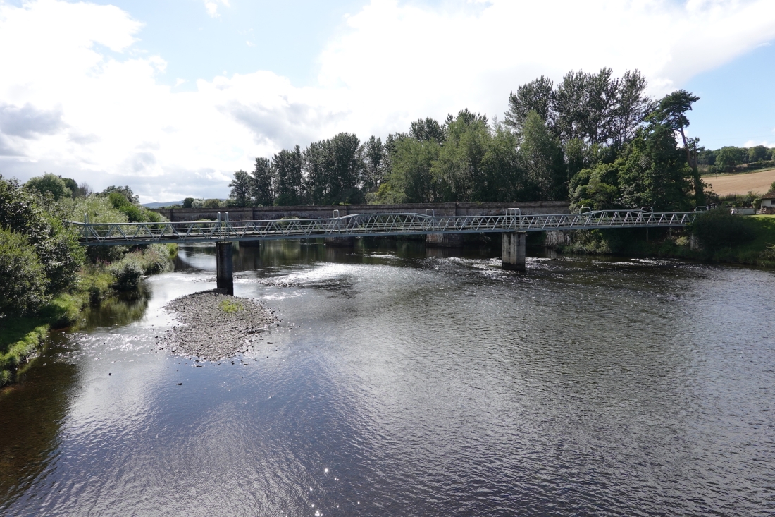 Conan Bridges
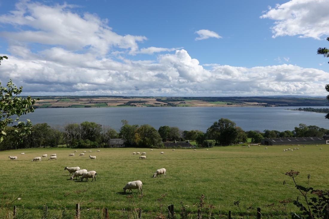 Cromarty Firth
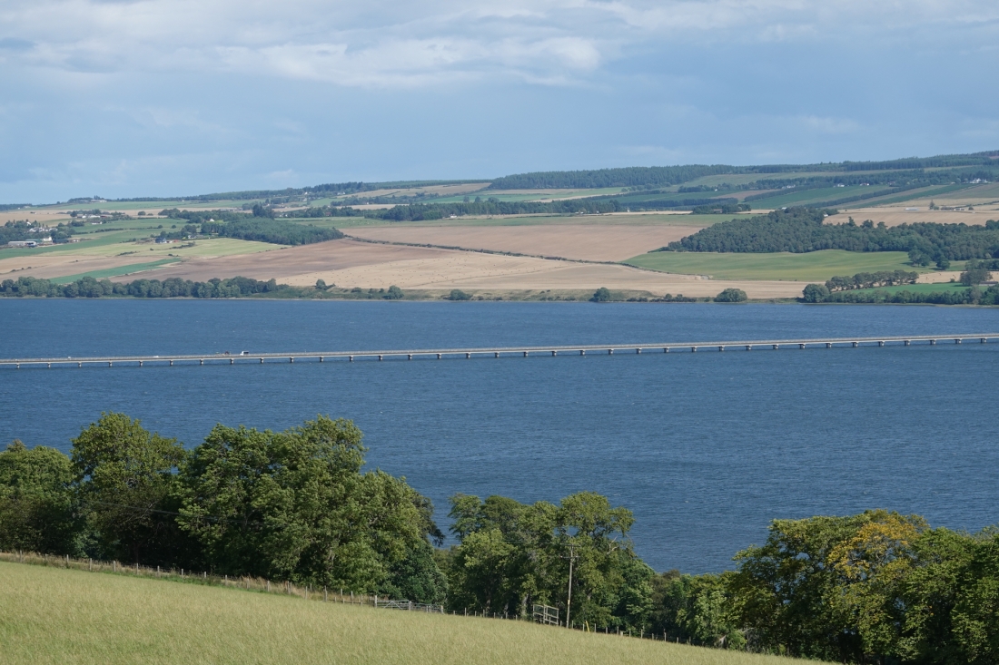 Cromarty Bridge
 Allison
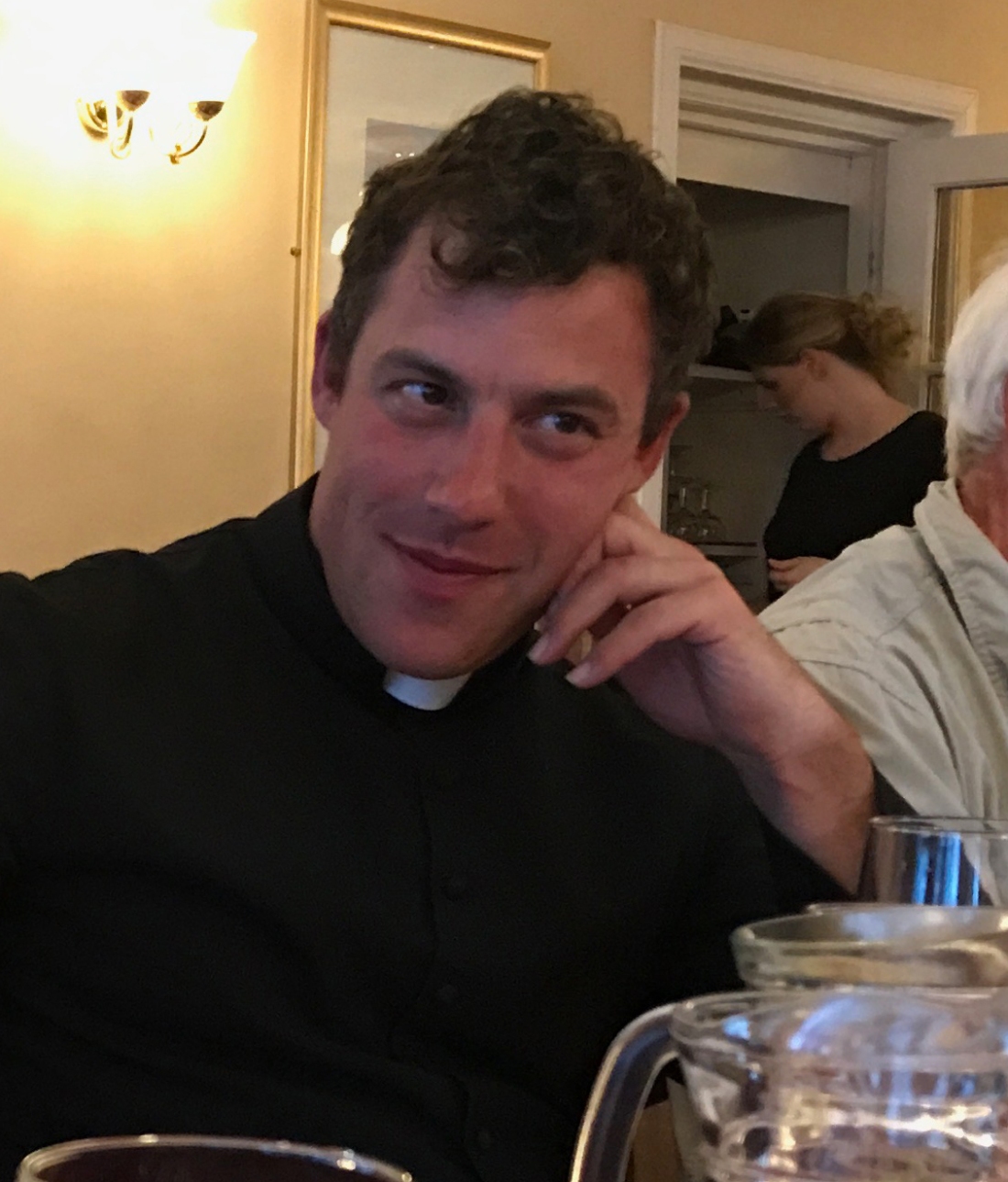 Father Paul
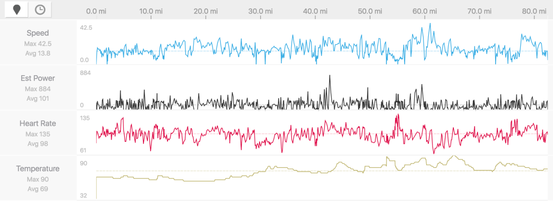 My data
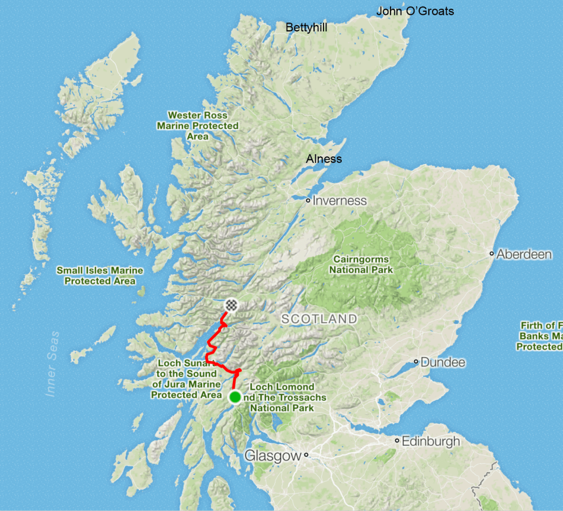 What’s left
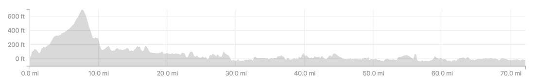 The profile of today’s ride
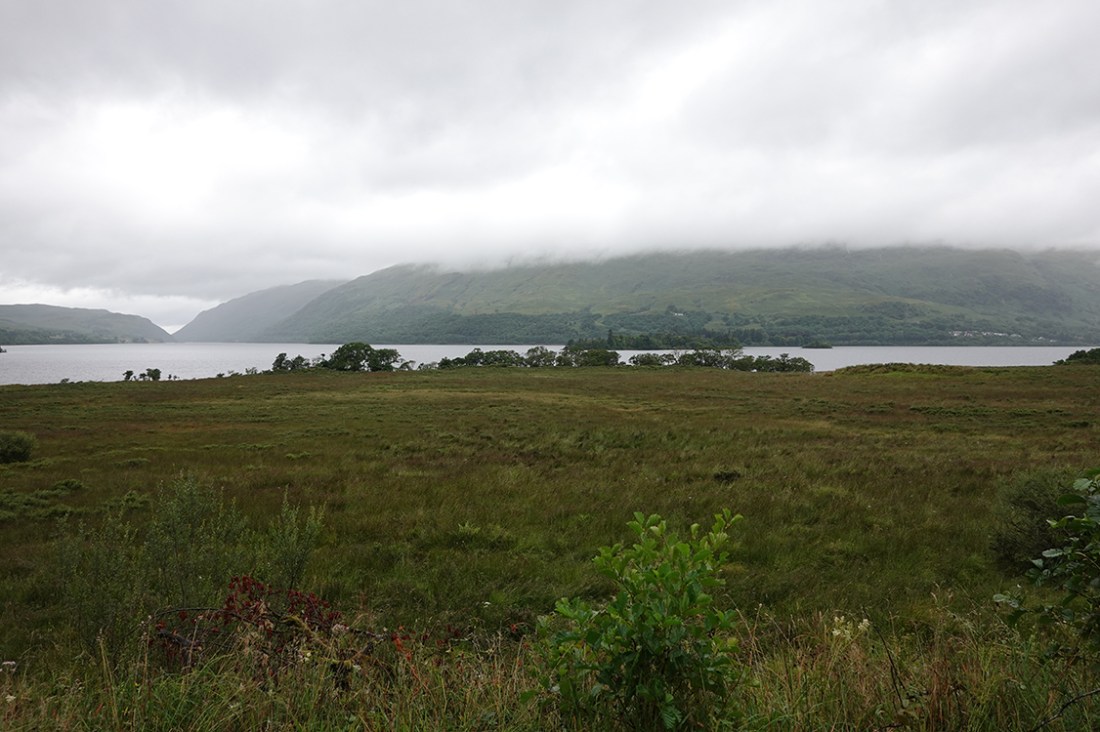 A moody view over Loch Awe
 From the bridge of Awe
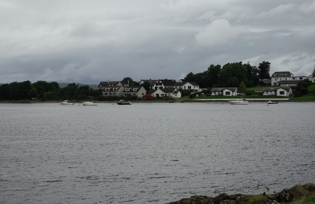 Holiday destination, August 2016
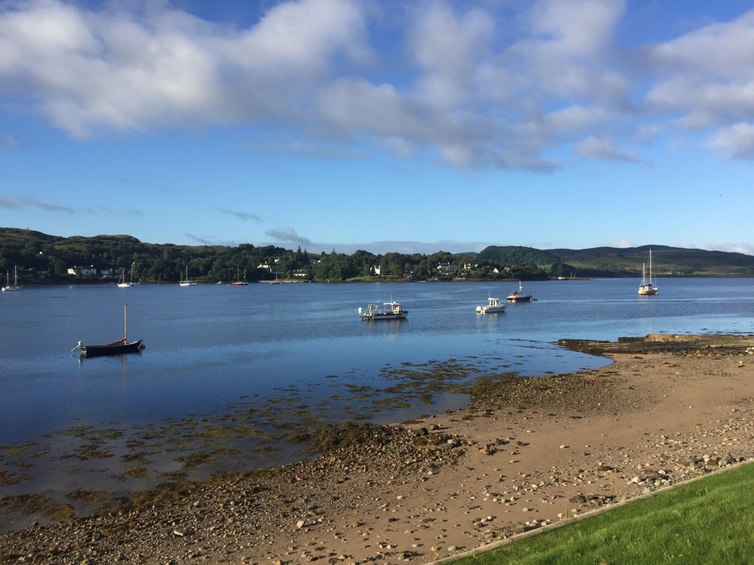 A view from the cottage
 A sunny holiday panorama
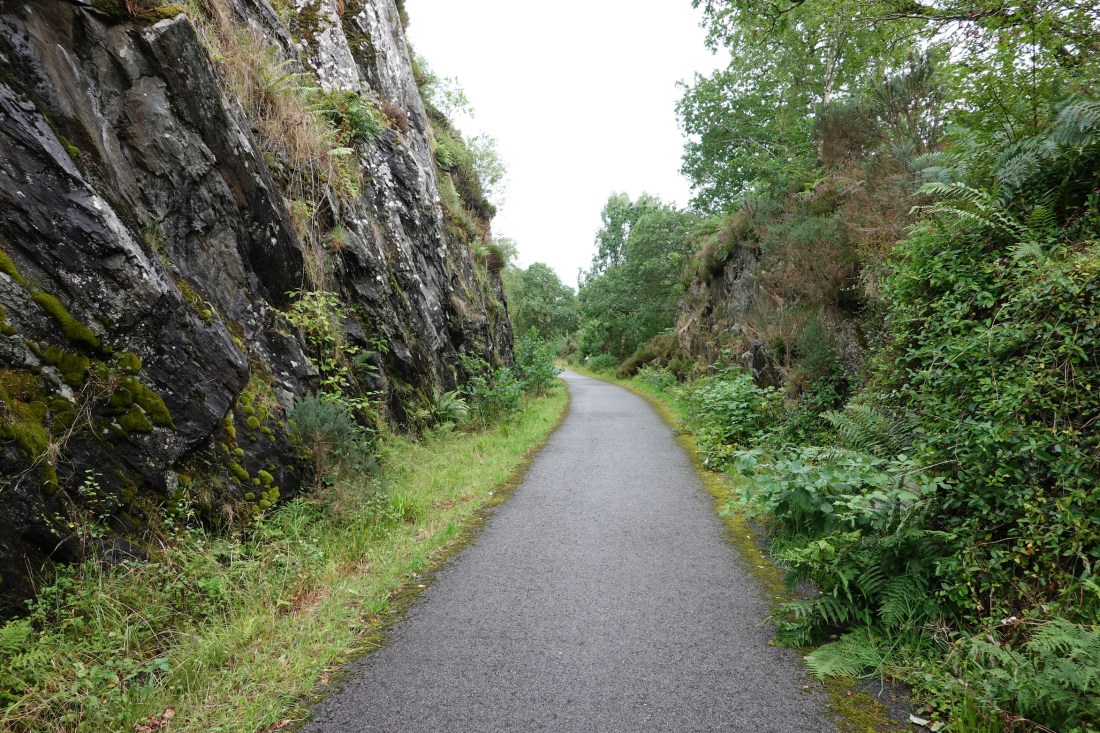 Typical section of cycle path
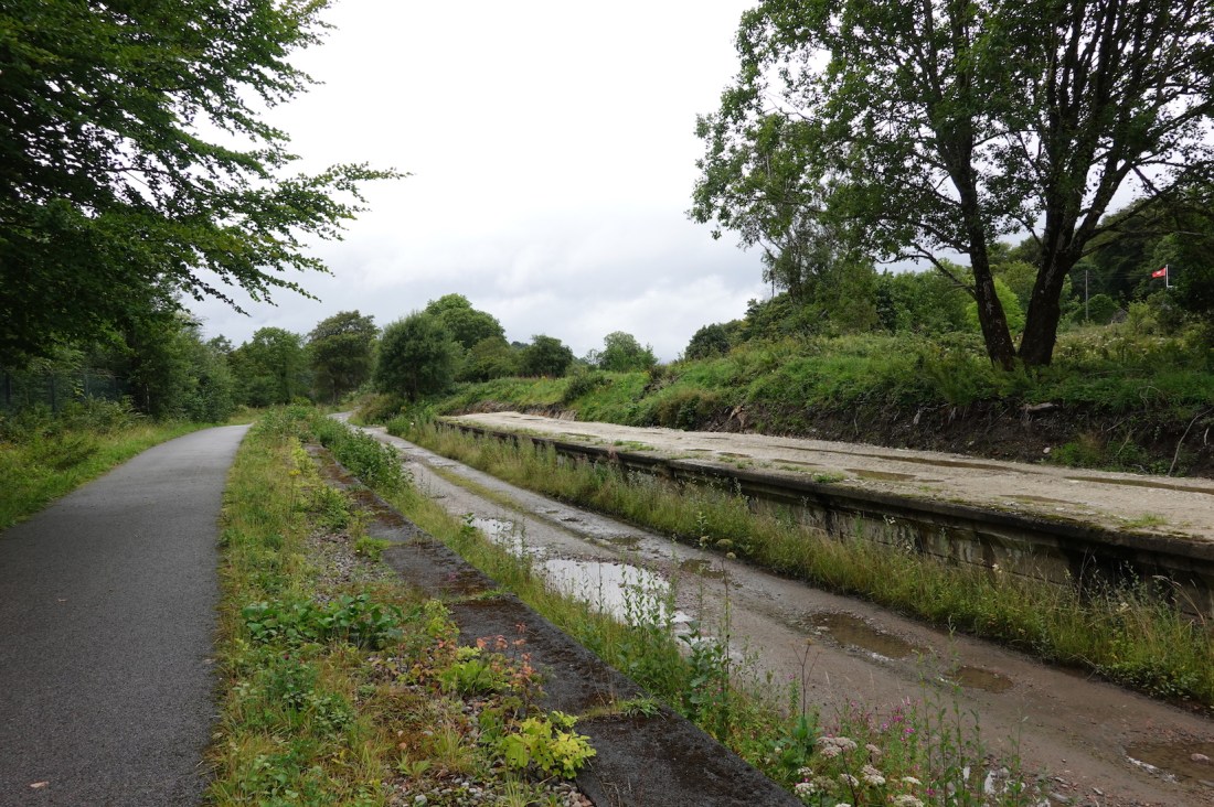 Appin used to have a railway station
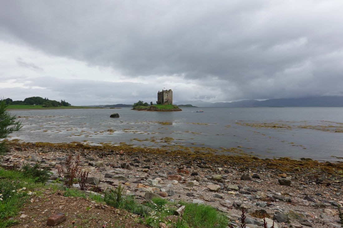 Wide angle
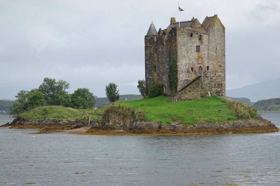 Zoomed in
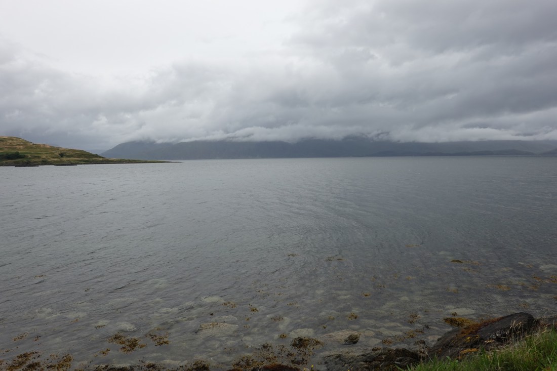 Final moody photograph
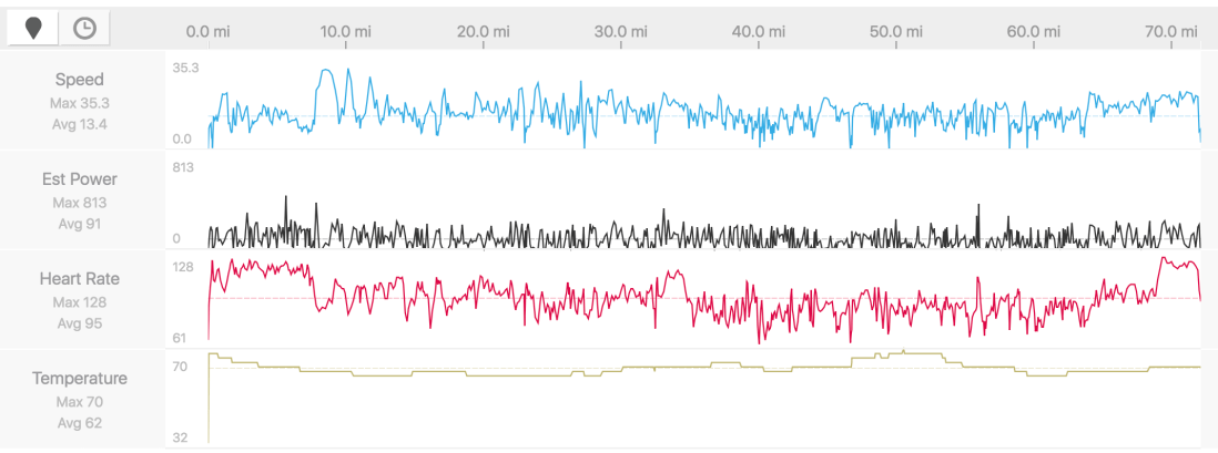 My stats
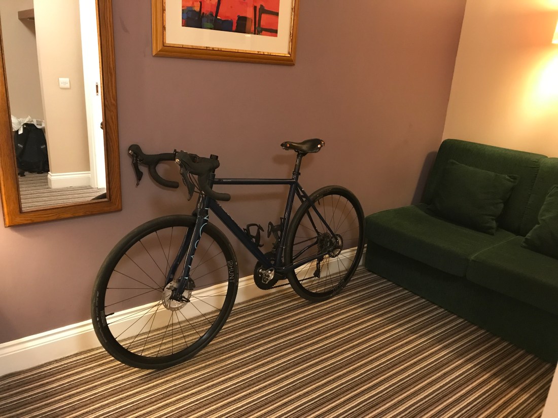 My bike in my room. Note how the saddle is moulding itself to me
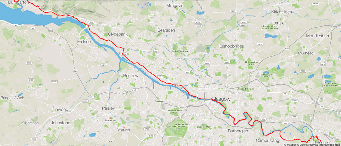 Following the Clyde
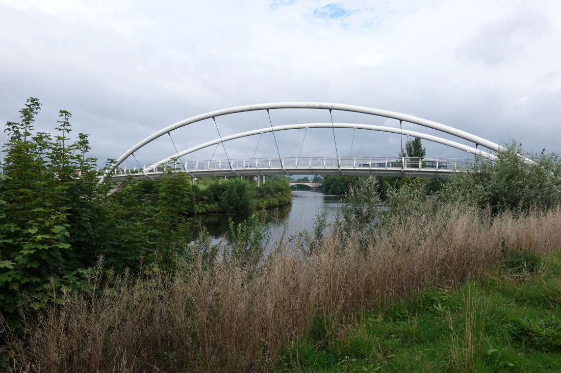 Bridge
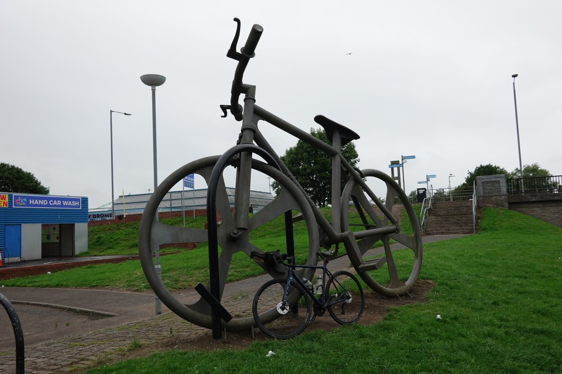 A big bicycle next to my own machine
 Below decks on the Maid of the Loch
 The view from the deck of the Maid of the Loch
 Early in our ride along the loch
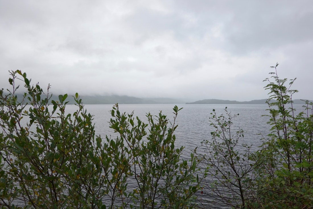 A little later
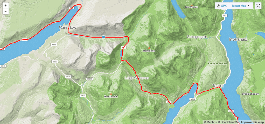 Today’s climb
 View from the top, looking back
 Looking downhill
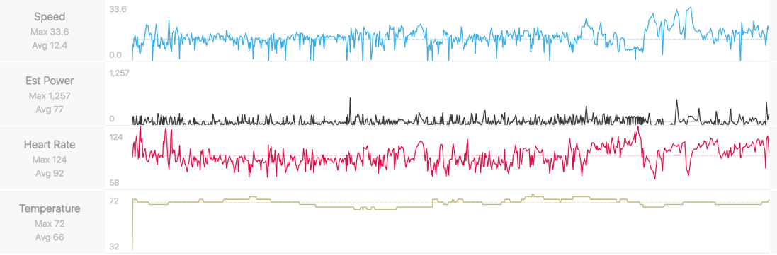 Numbers
 Progress!
 Bike outside hotel—a study
 Cows and sheep
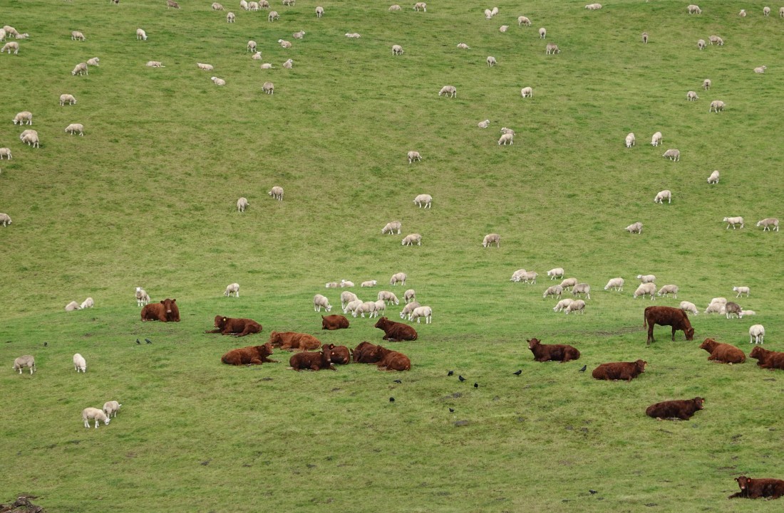 Close-up of the same cows and sheep
 Clouds
 The profile
 On the way up the A701 to Peebles
 At the top
 I should have put this on webuyanycar.com
 A bull in a field
 Some cows, having just got out of our way
 A view from a bridge
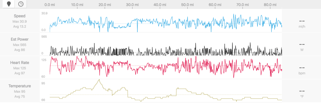 Numbers
 How far we have got. I can imagine we’ll get to JOG some time!
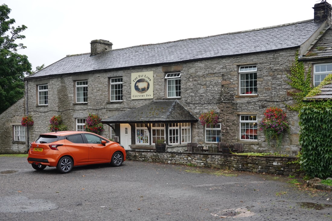 The Fat Lamb
 Setting off this morning
 Allison and her friends raising money for the Teenage Cancer Trust
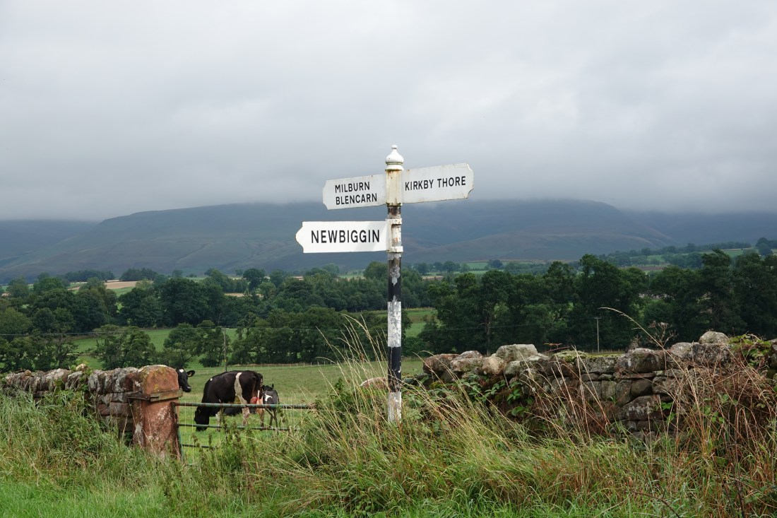 If I take photos of signs at least I know where I was
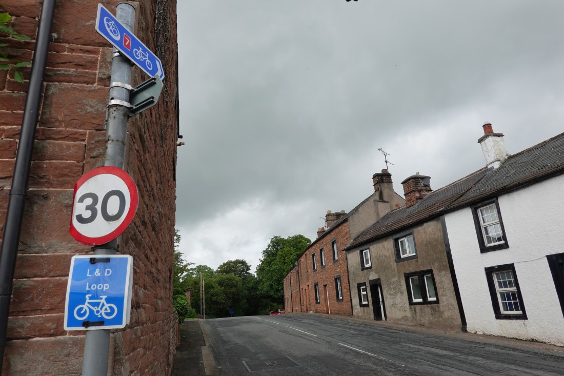 A C2C direction arrow in Langwathby
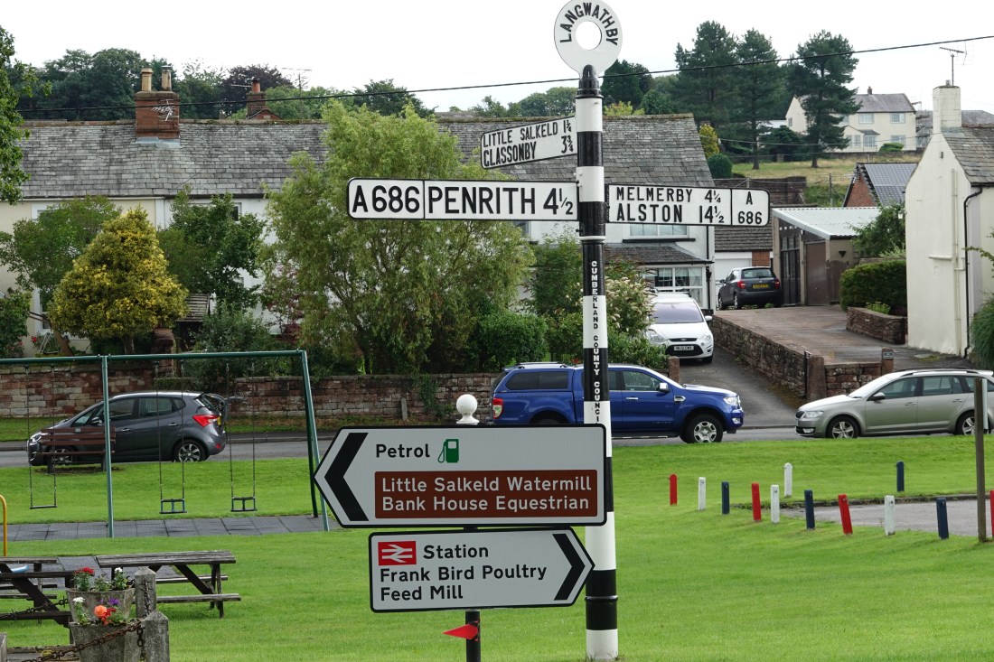 A signpost in Langwathby
 Train over a viaduct
 Big puddle
 Beginning of the path
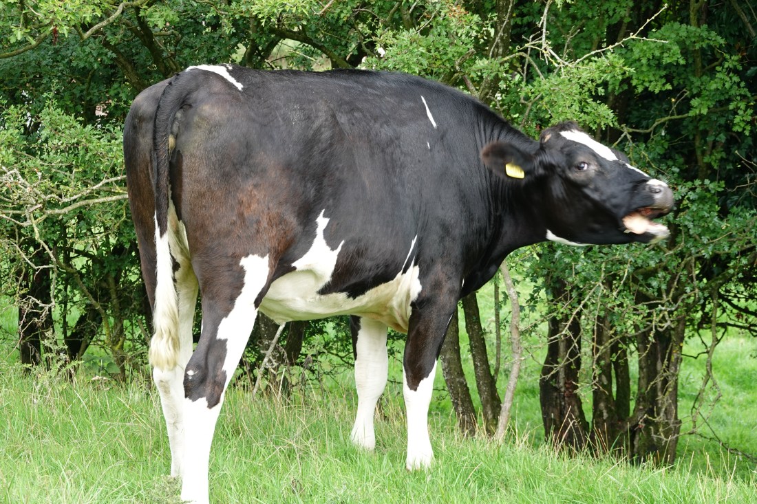 La Vache qui Rit
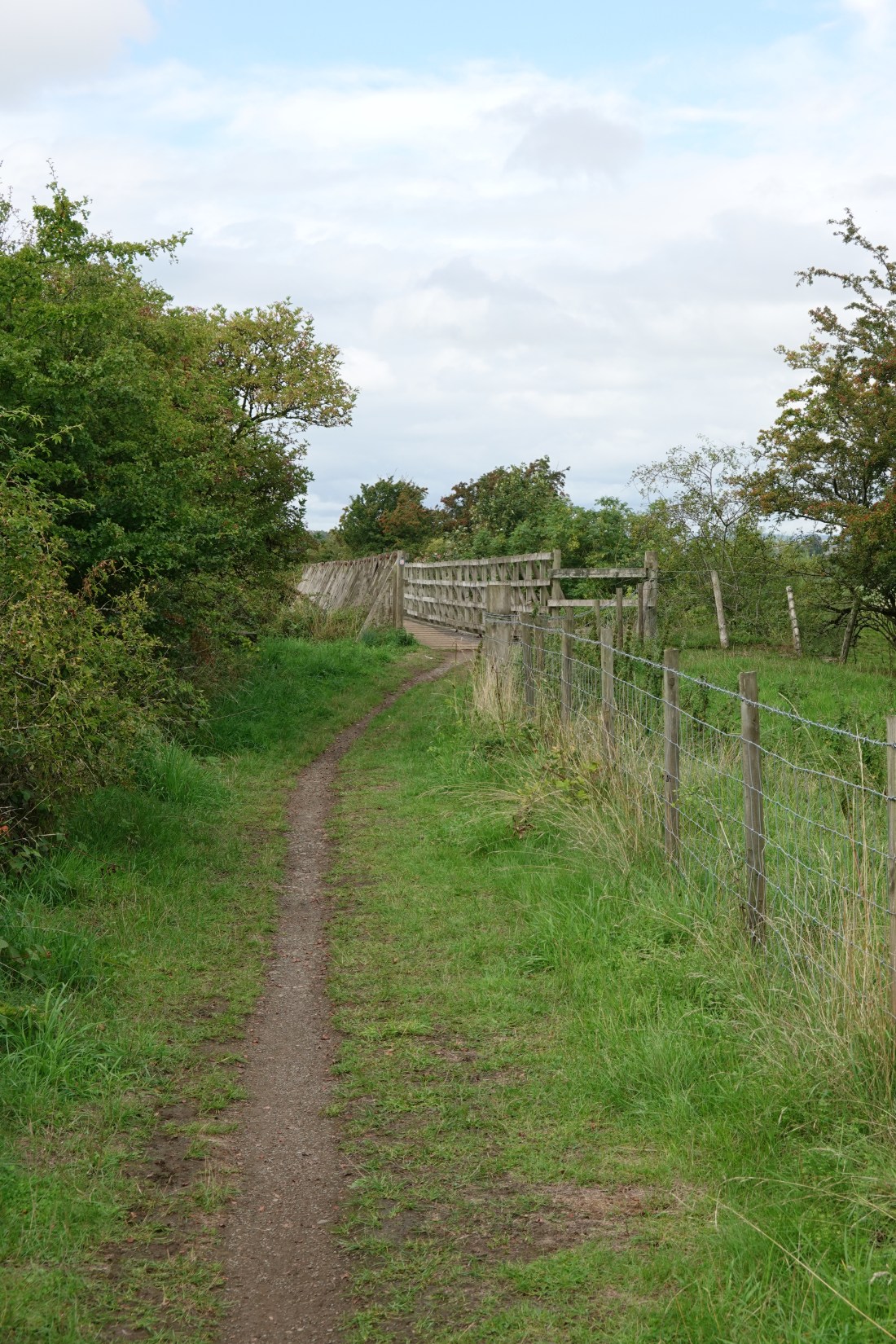 Path with bridge ahead
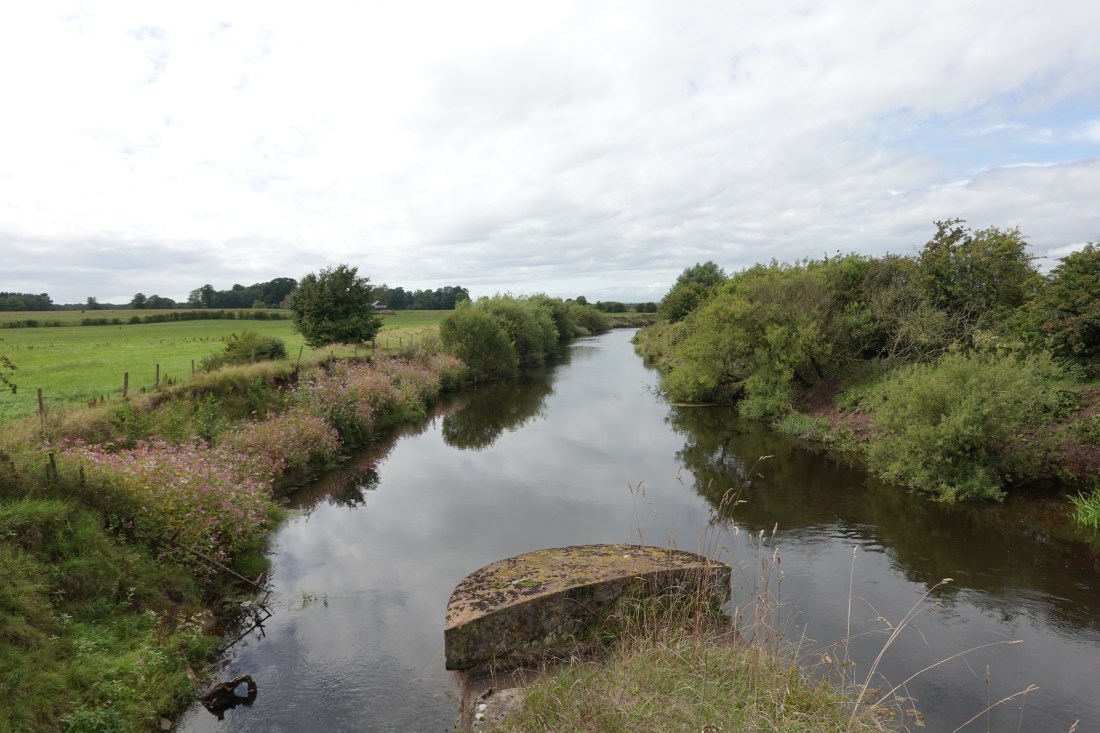 View from the bridge
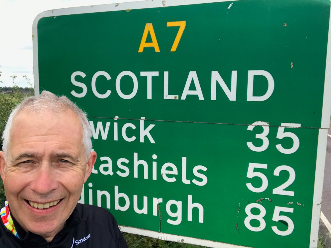 The gateway to Scotland. Note helmet hair
 A test photograph of a church
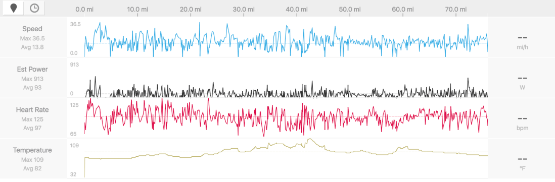 My data
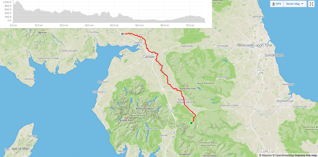 What we did on the day
 Putting it in context
 The climbs
 Where we are now
 Looking down the hill…
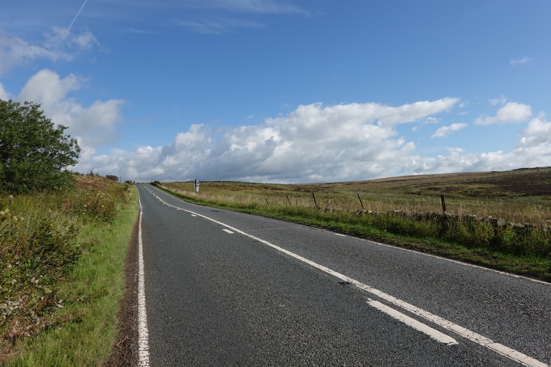 …and up
 Justin leading the way
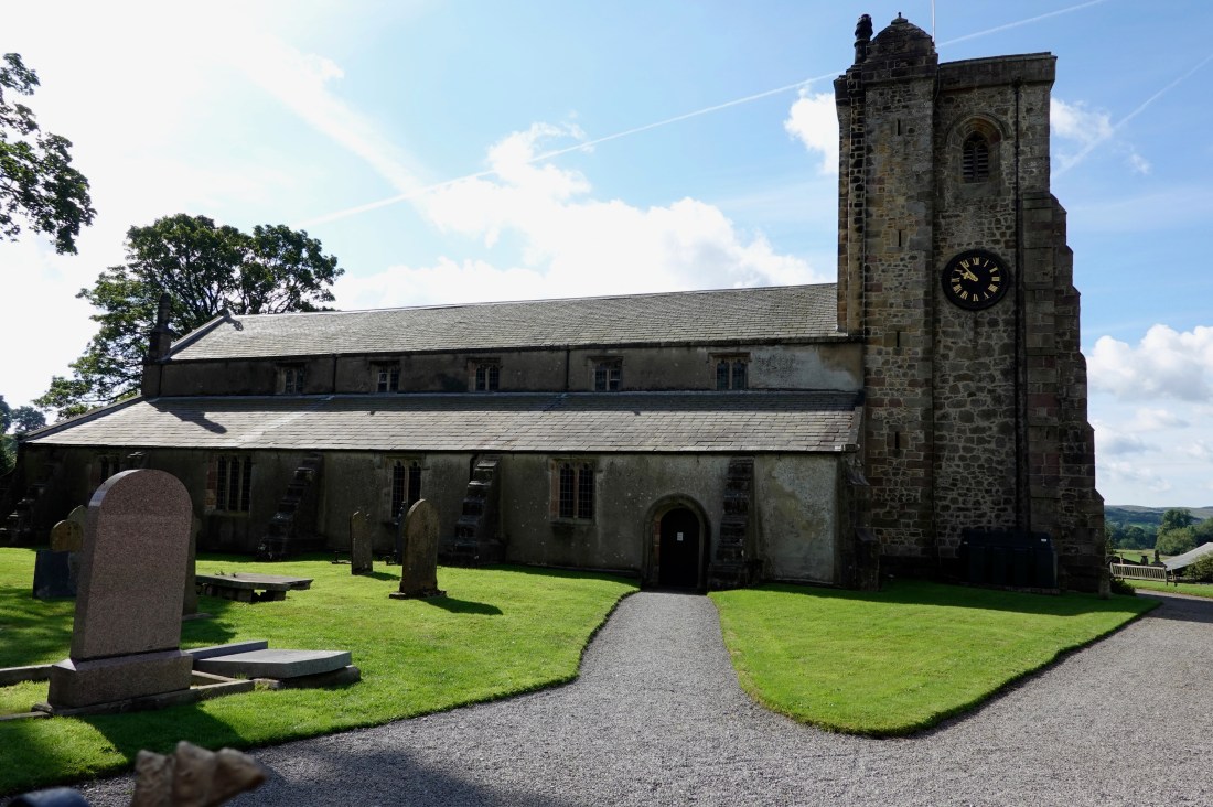 St Andrew’s Church, Slaidburn
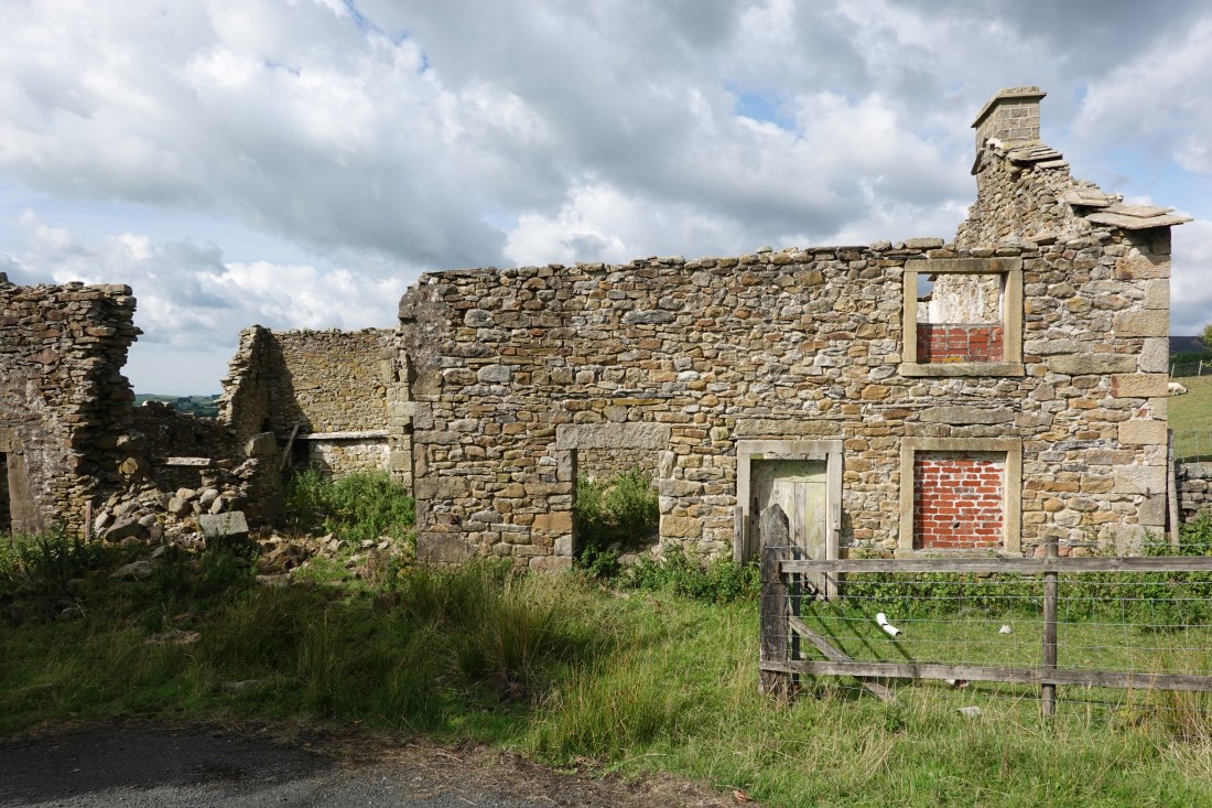 The old house on the hill
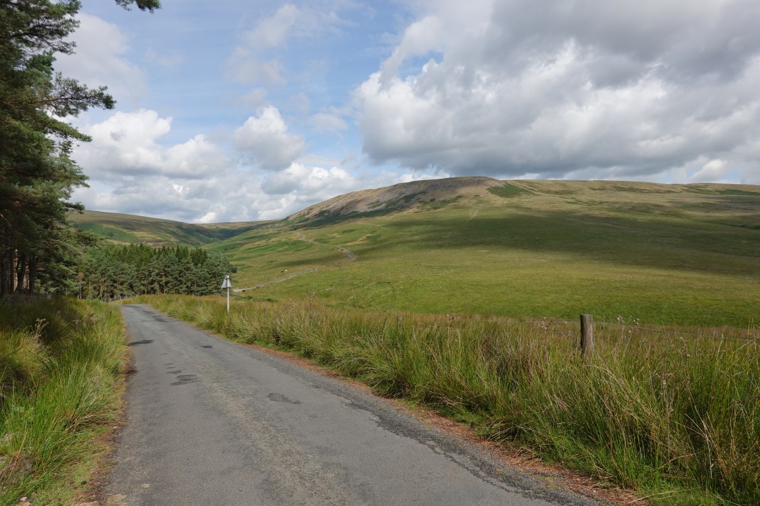 Part of the climb
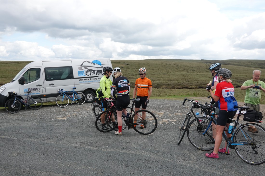 Rob (far right; green shirt) meeting us at the top of climb number two
 Building and sheep
 Bridge
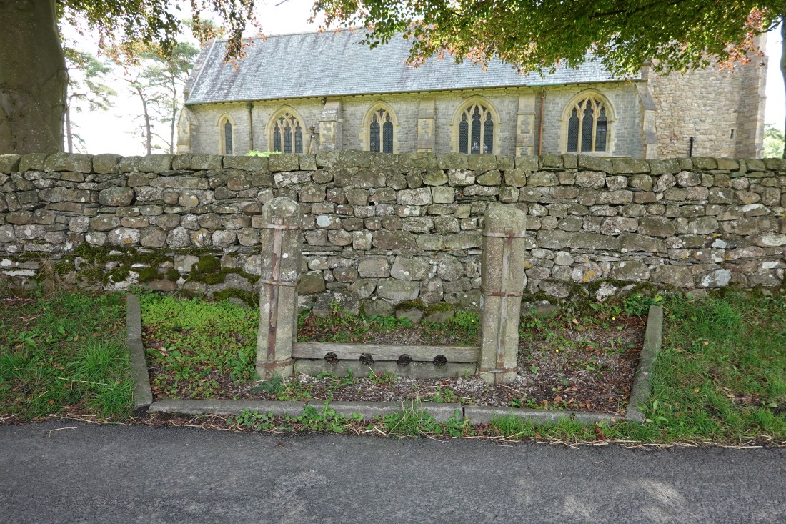 Stocks
 Fantastic descent, part of climb three
 About to begin the big effort on climb three
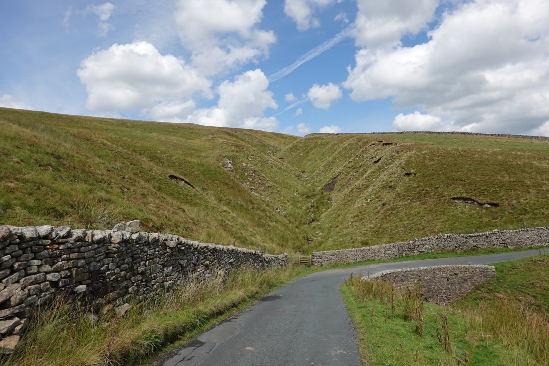 The early part of the descent
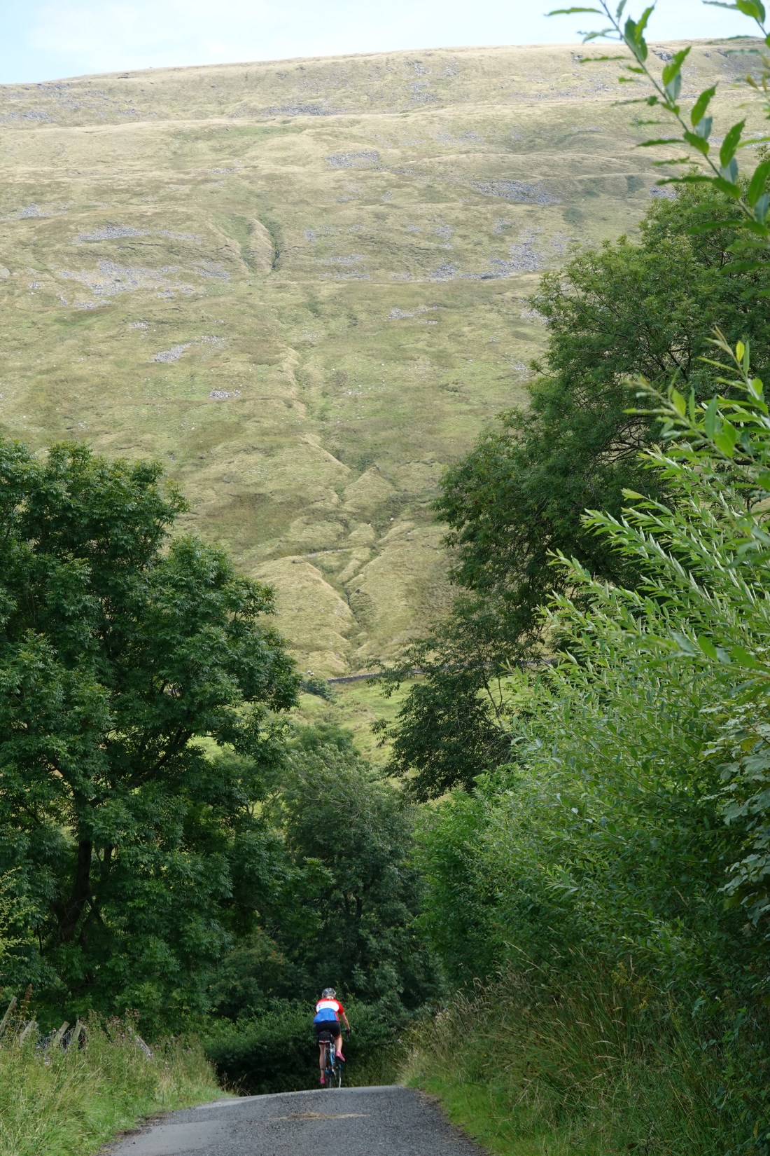 Later in the descent
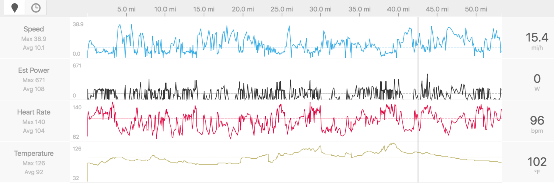 Stats
Stats The cyclist’s friend
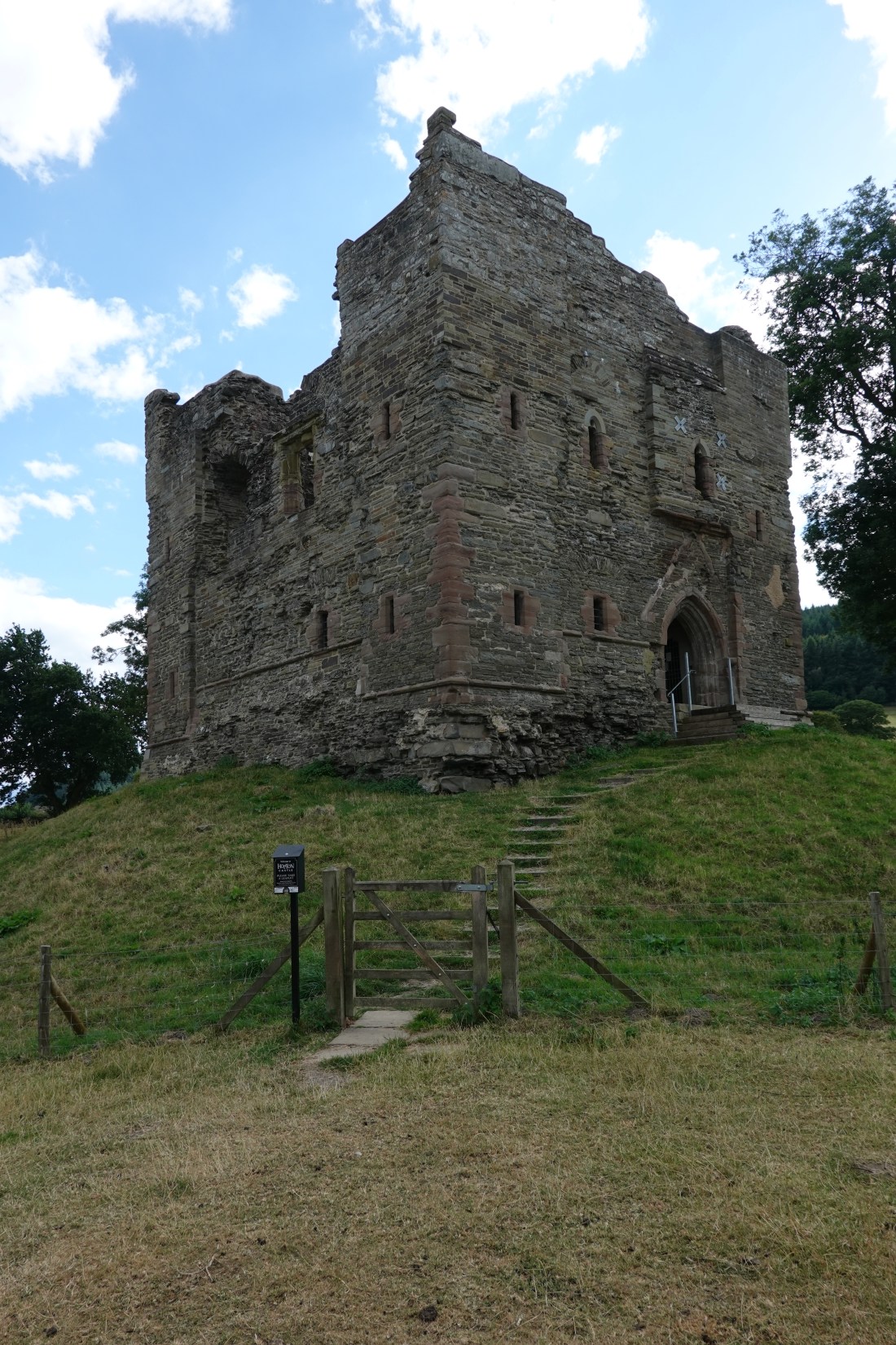 The keep of Hopton Castle
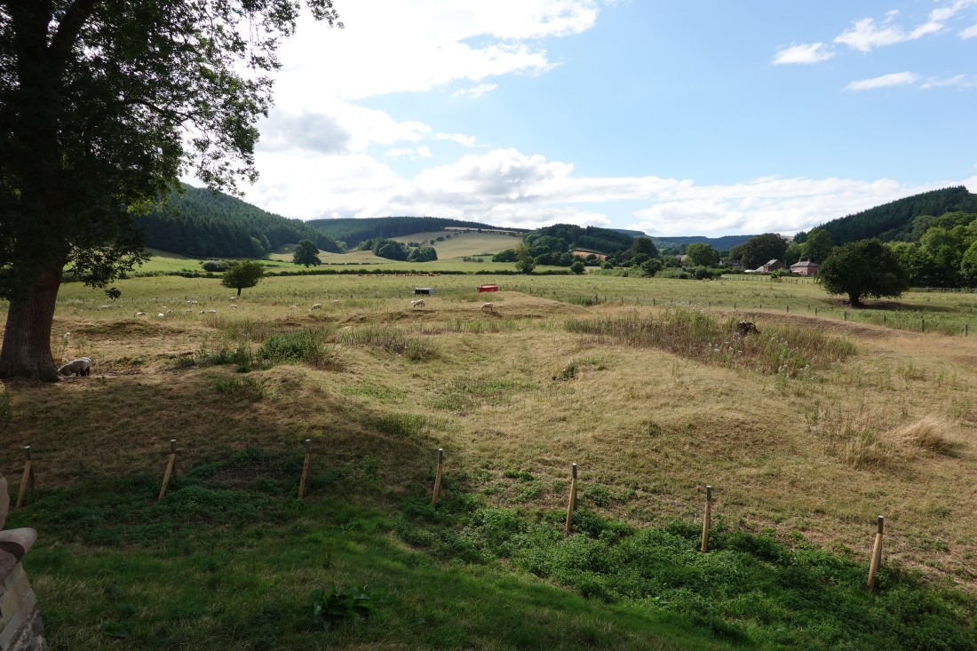 The remains of the bailey
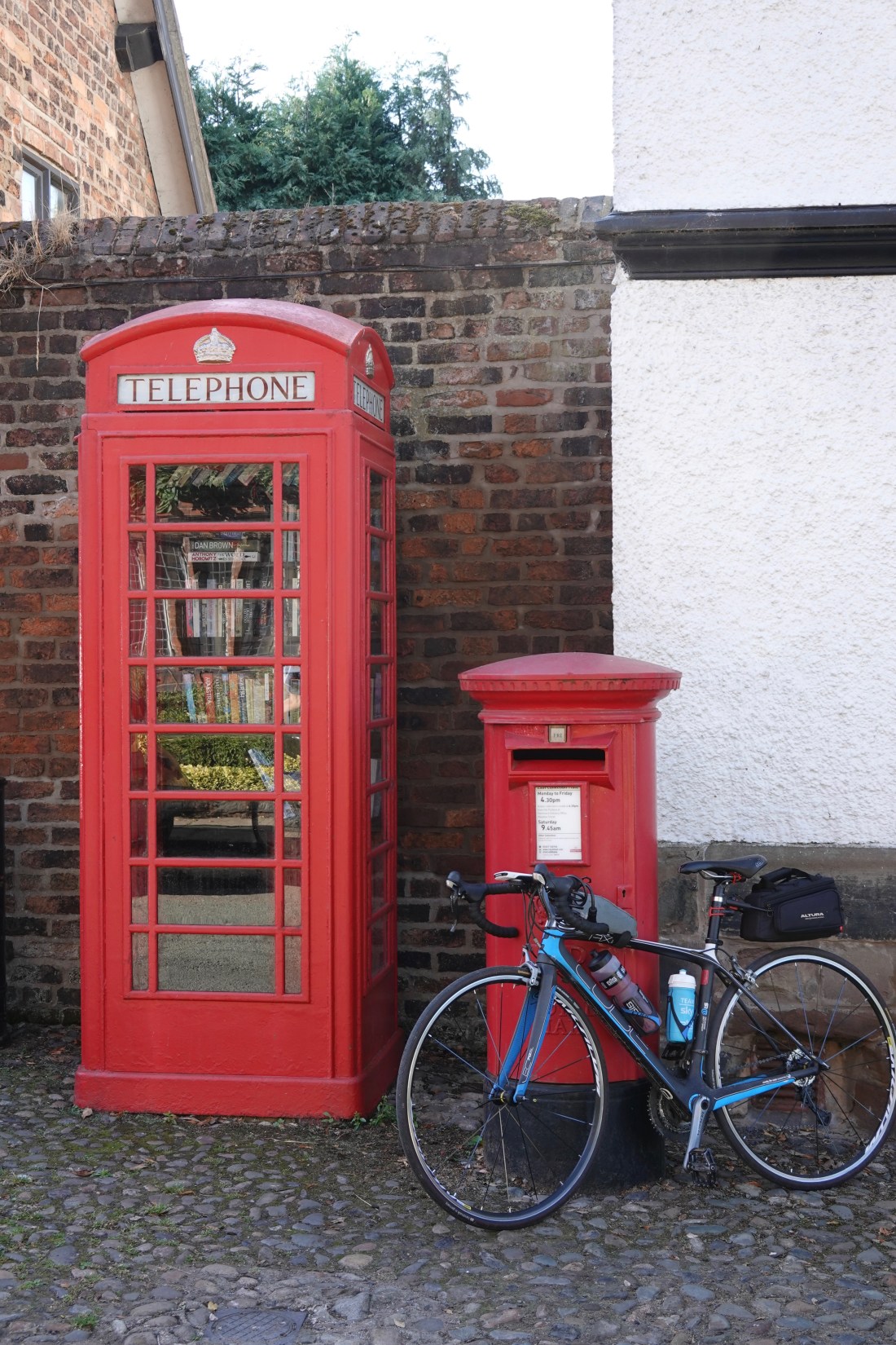 Comberbach library
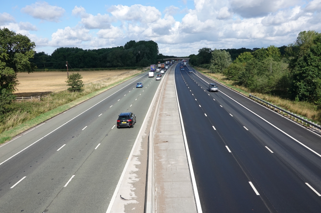 M6
M6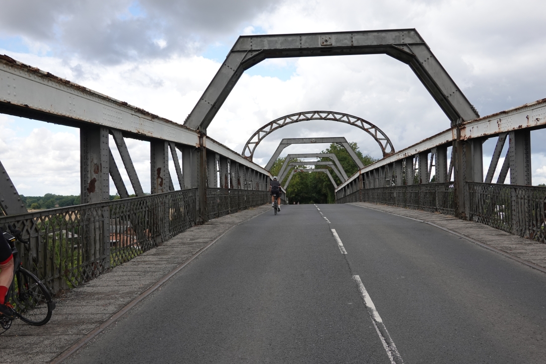 The bridge over the Manchester Ship Canal
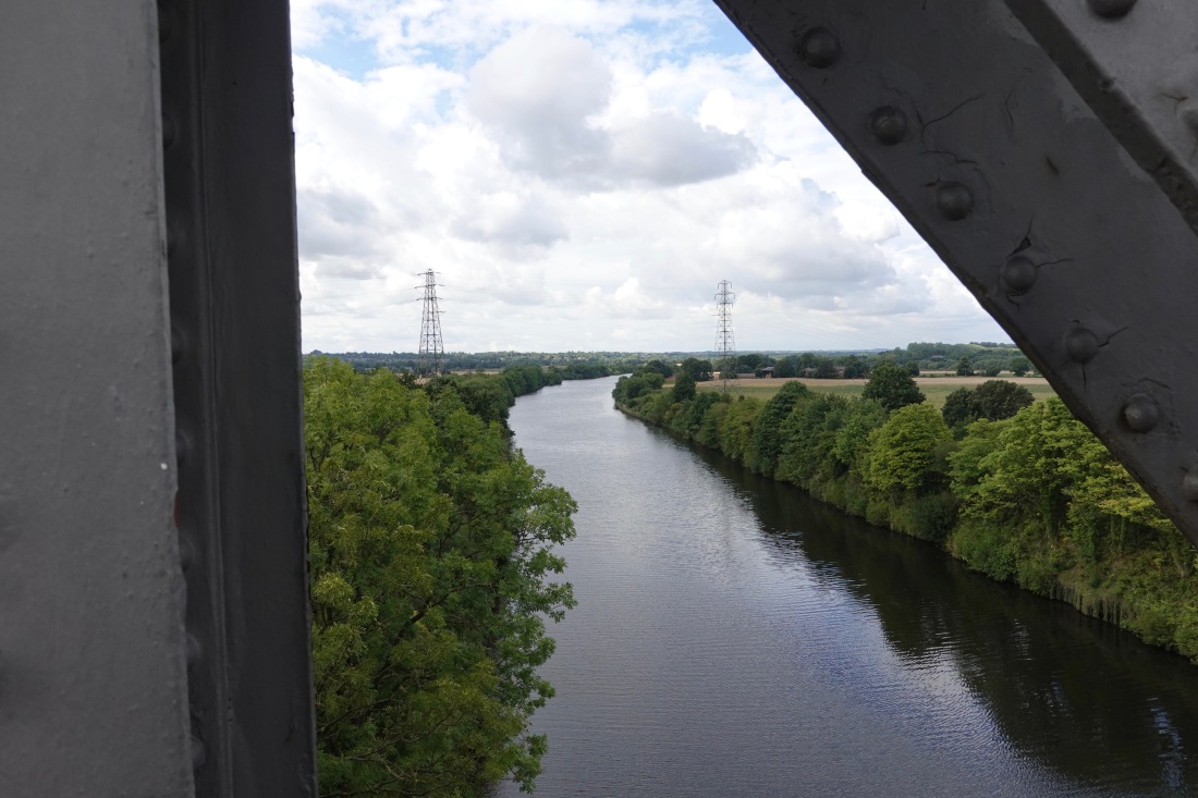 The view from the bridge
 Me. Note red nose
 Paul photographs The Whippets
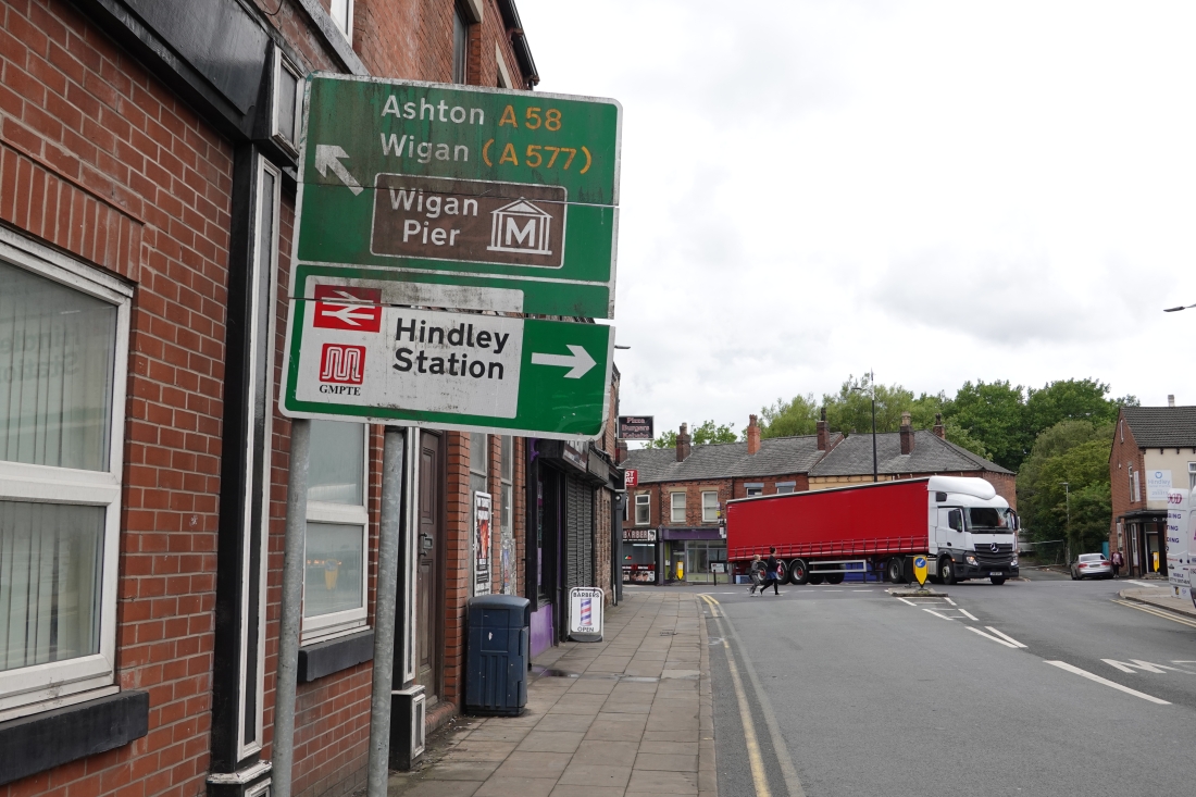 A road to Wigan Pier
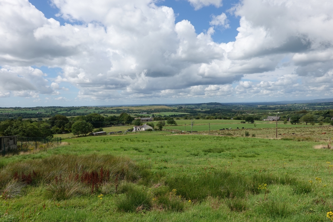 Countryside
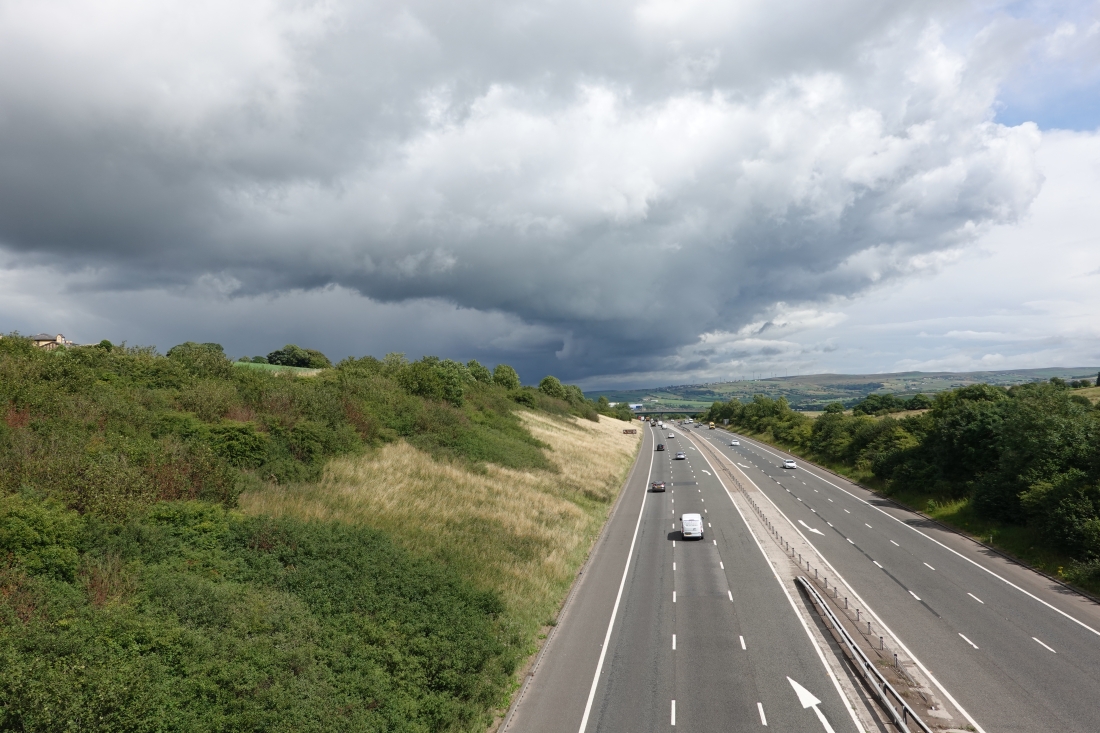 The M65
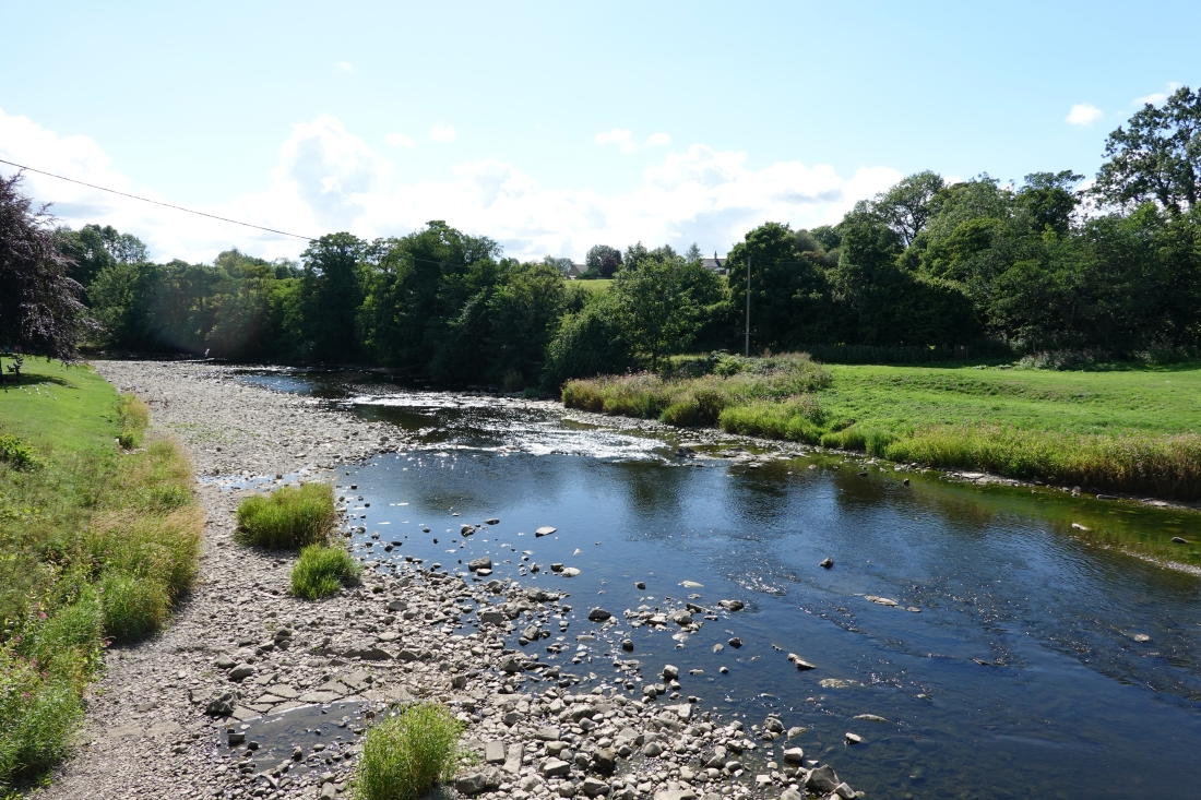 The Ribble, near Clitheroe
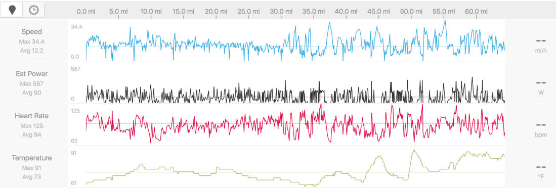 Stats
Stats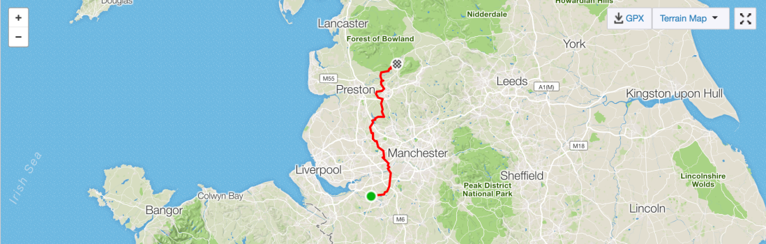 Progress today
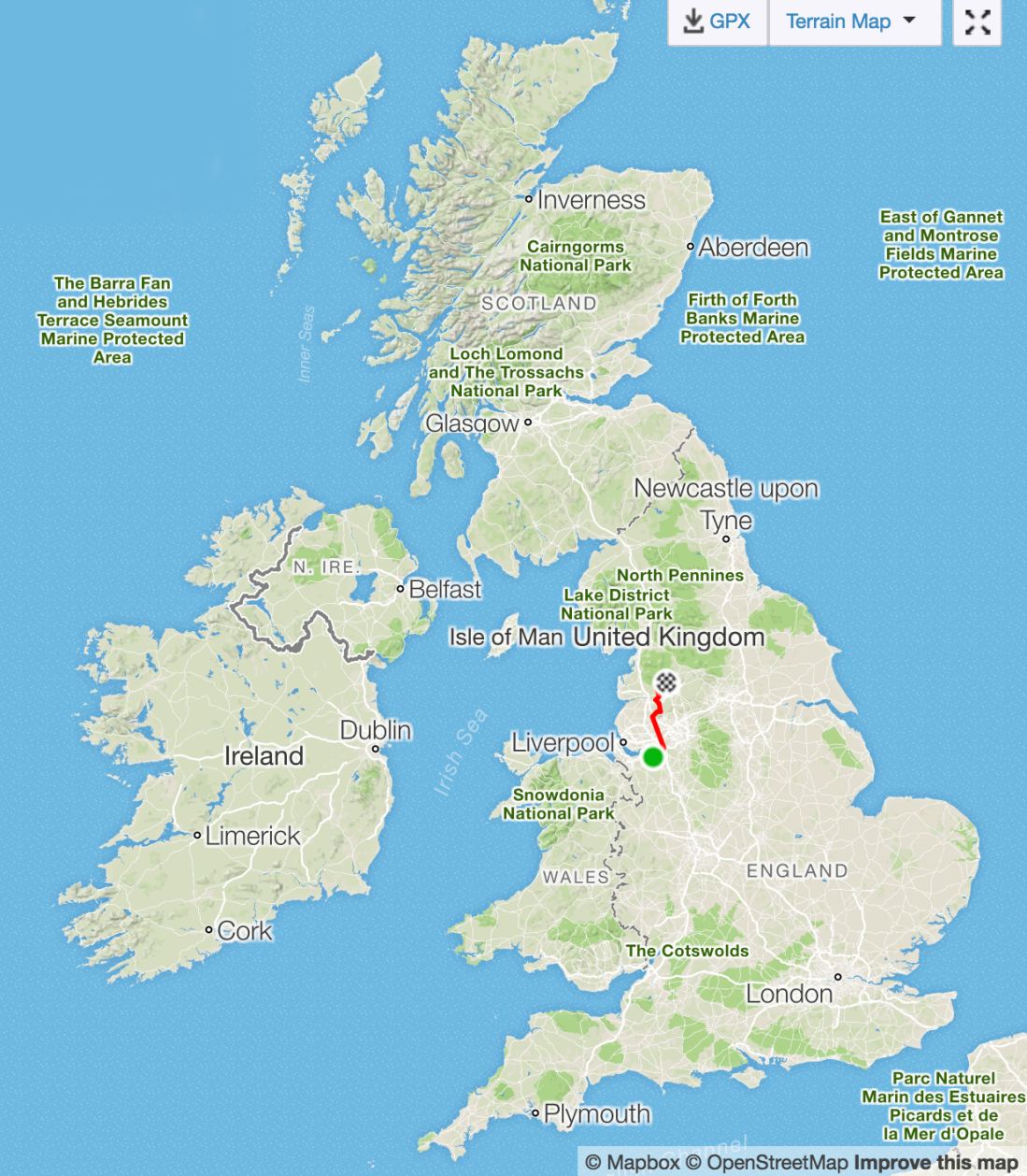 Progress overall
 Morphogens!
 Tree
Tree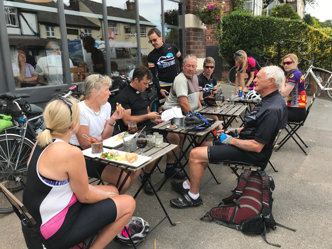 Malpas
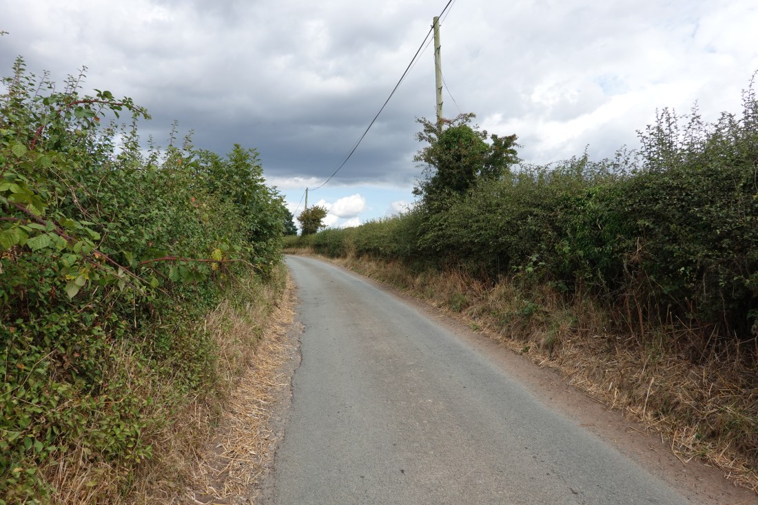 Road
Road Church
 Castle
 Weak bridge
 Stats
Stats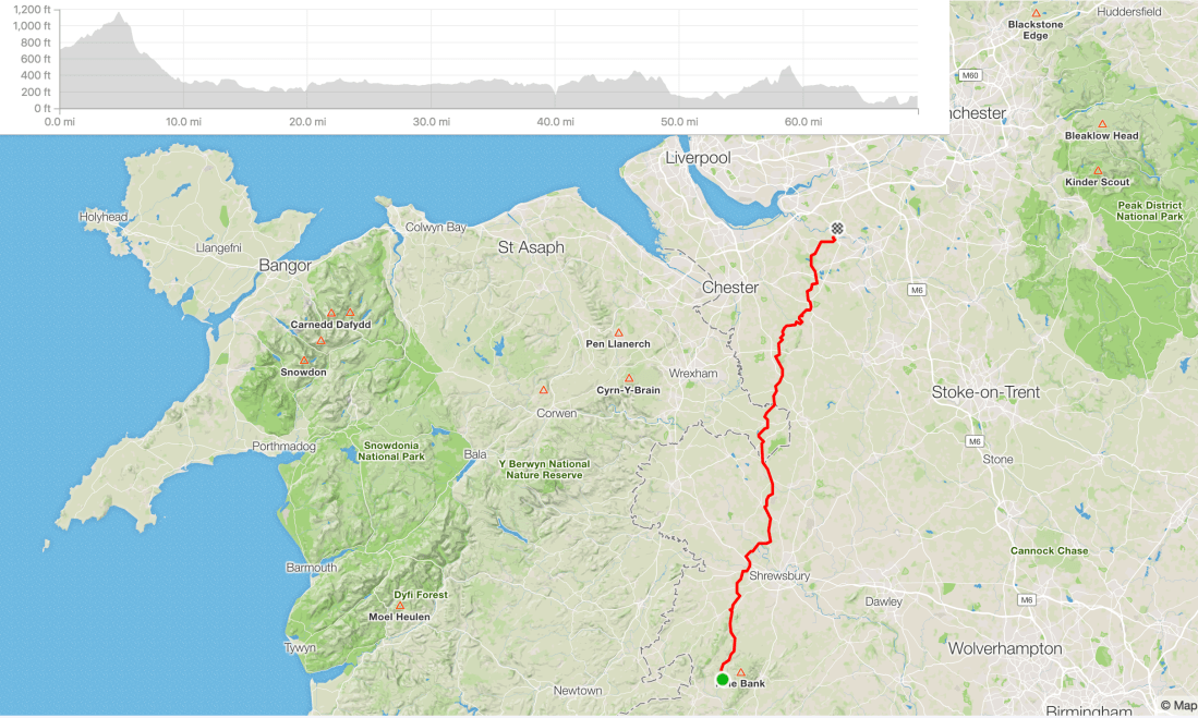
 Church in Tintern
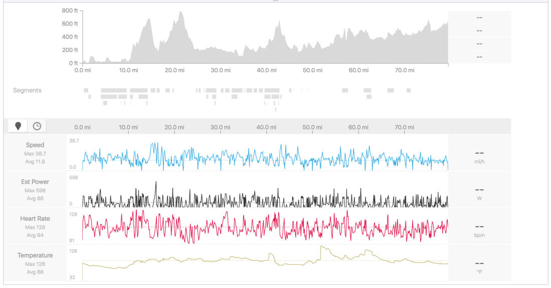 Today’s data
 Taking a trip up to Abergavenny/Hoping the weather is fine
 Karen and the sign
 Madeley Parish Church
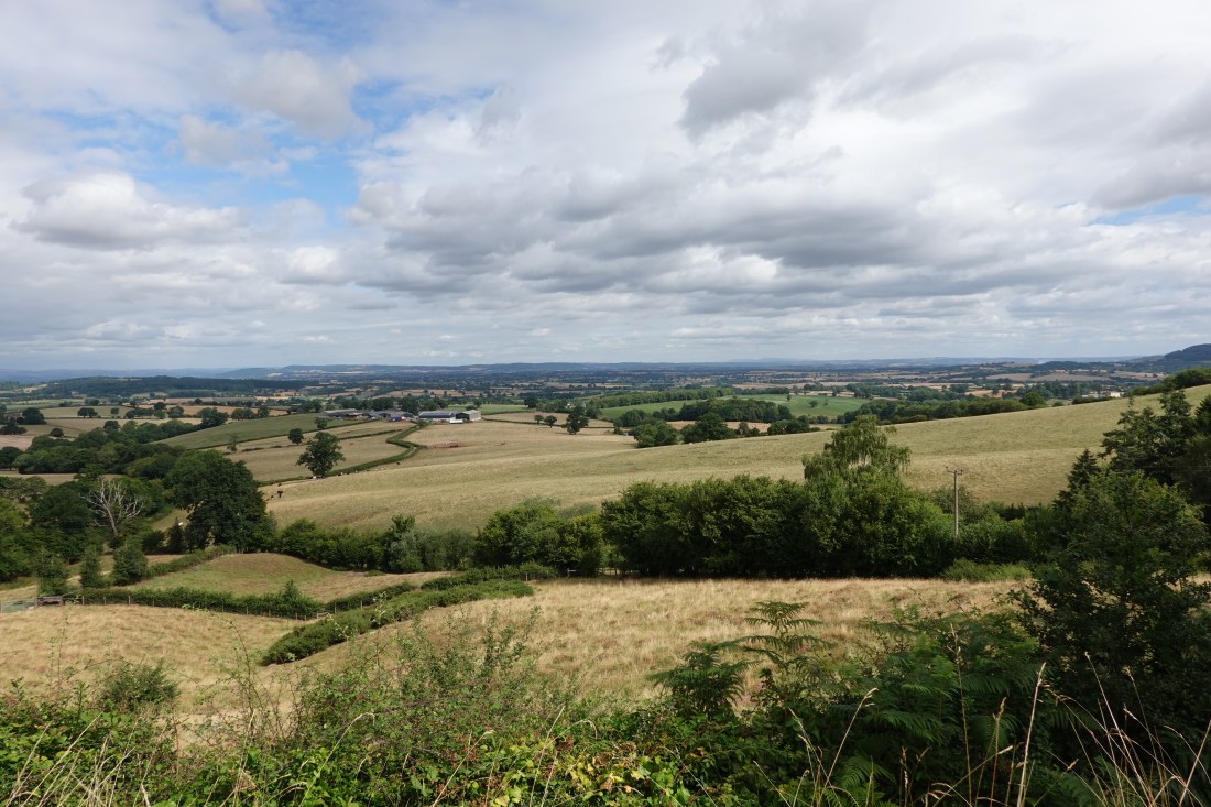 View
View Dovecote
 Eighty miles
 Progress!