Fort William to Alness (nearly)
I first heard the expression “If you don’t like the weather in New England now, just wait a few minutes” when I was a postdoc at Harvard Medical School. The person I was speaking to attributed the remark to Mark Twain (most bon mots are attributed to Mark Twain or to Oscar Wilde, in my experience). It turns out that there is rather little evidence that Mark Twain did actually say this, and indeed many US states seem to have appropriated the expression to suit their own needs. Will Rogers, for example, is said to have said “If you don’t like the weather in Oklahoma, wait a minute and it’ll change”.
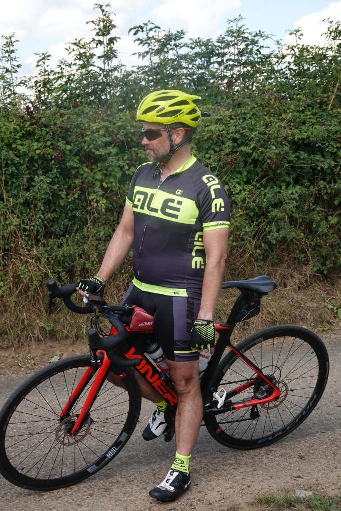
Anyway, whoever said it, and about where, it’s certainly true of the Highlands of Scotland. We had breakfast at 07:30 in the Wetherspoons beneath our hotel, and on my way inside I had to sprint the 10 yards from the hotel to the door of the bar to avoid getting drenched. After an overly hearty breakfast, Rob assembled us outside at 08:15 for our morning briefing (below), and by this time things weren’t too bad, although you can see we were prepared for it to be cold and wet. I felt snug enough in (i) arm warmers; (ii) over-shoes; (iii) Rapha Pro team winter hat; (iv) clear shades; and (v) (a new one this) my Rapha base layer, worn beneath my cycle shirt. The last of these is what my mum would have called a vest, but that’s a bit prosaic for the 21st century cyclist.
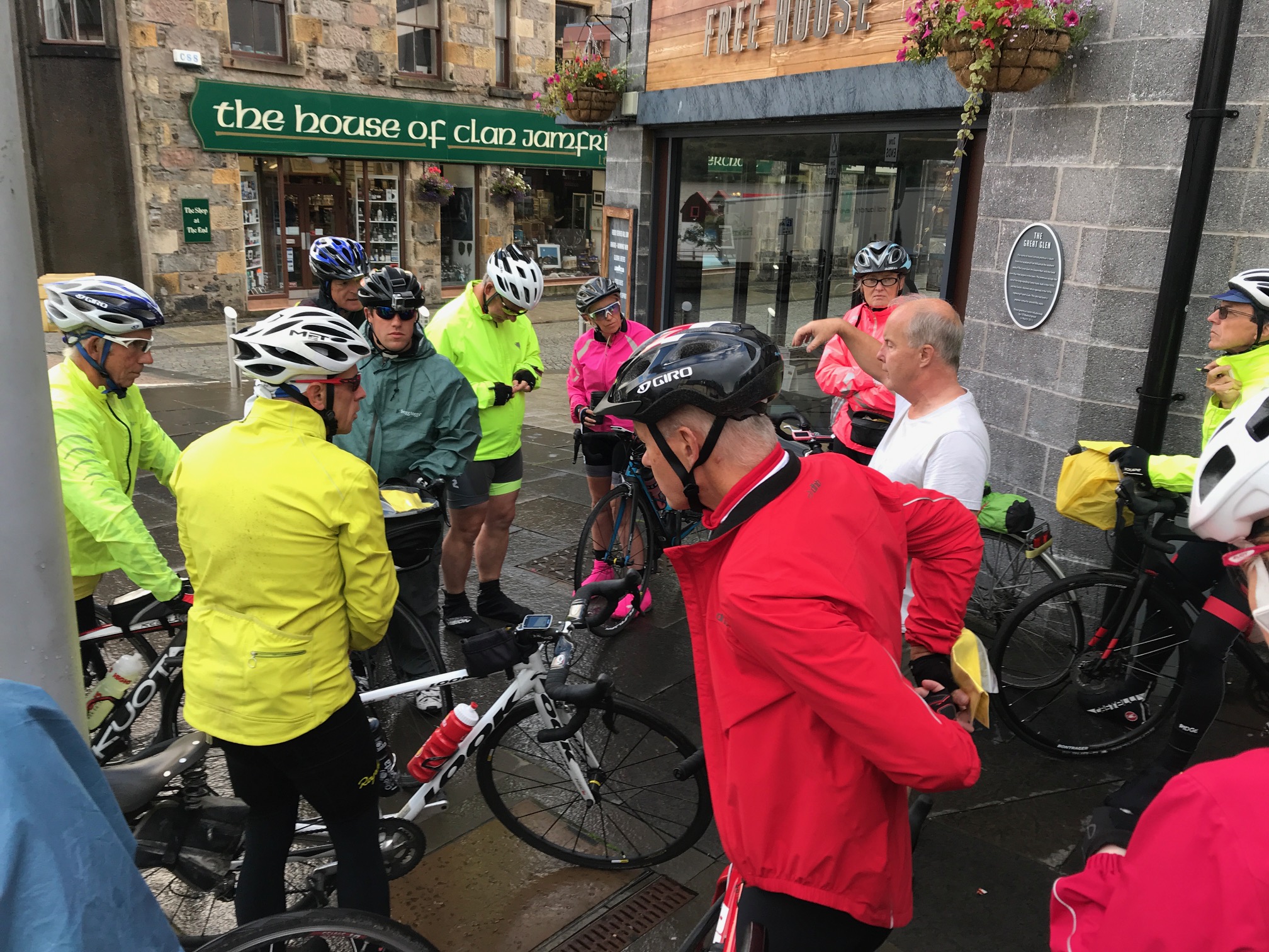 Morning briefing
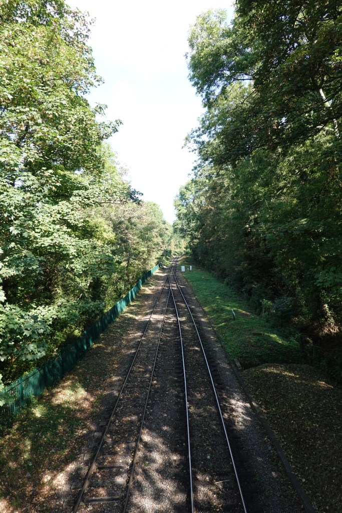
We rolled out at about 08:30, following a slightly complicated route to get us eventually onto the A82 to Inverness. We went alongside the railway and here is a photo of the bridge, with moody clouds in the background.
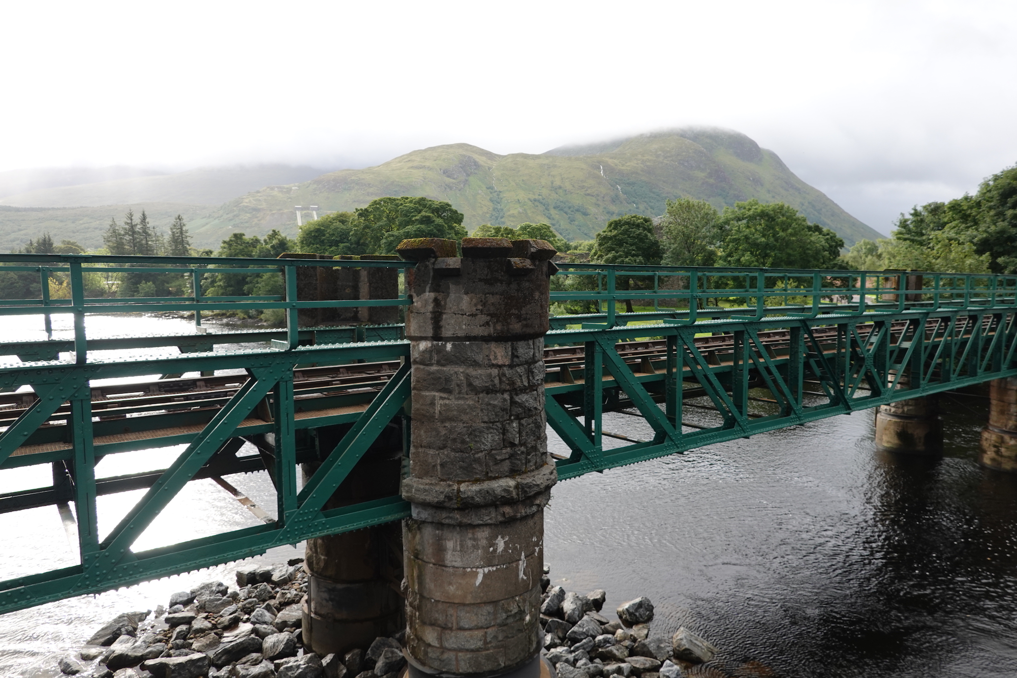 Railway bridge
It struck me as we were leaving (this is a slightly extended and muddled metaphor, so forgive me) that we slightly resembled a mutlicoloured train, a little like Lance Armstrong’s Blue Train. If this were right, Tim would be the caboose, who would sweep up members of the autobus, or gruppetto, who found it impossible to continue. (Not that anyone is allowed not to finish in our adventure!)
So onward and upward in our journey. After a few miles we were on the open road, heading east. That’s Lisa and Allison putting the hammer down.
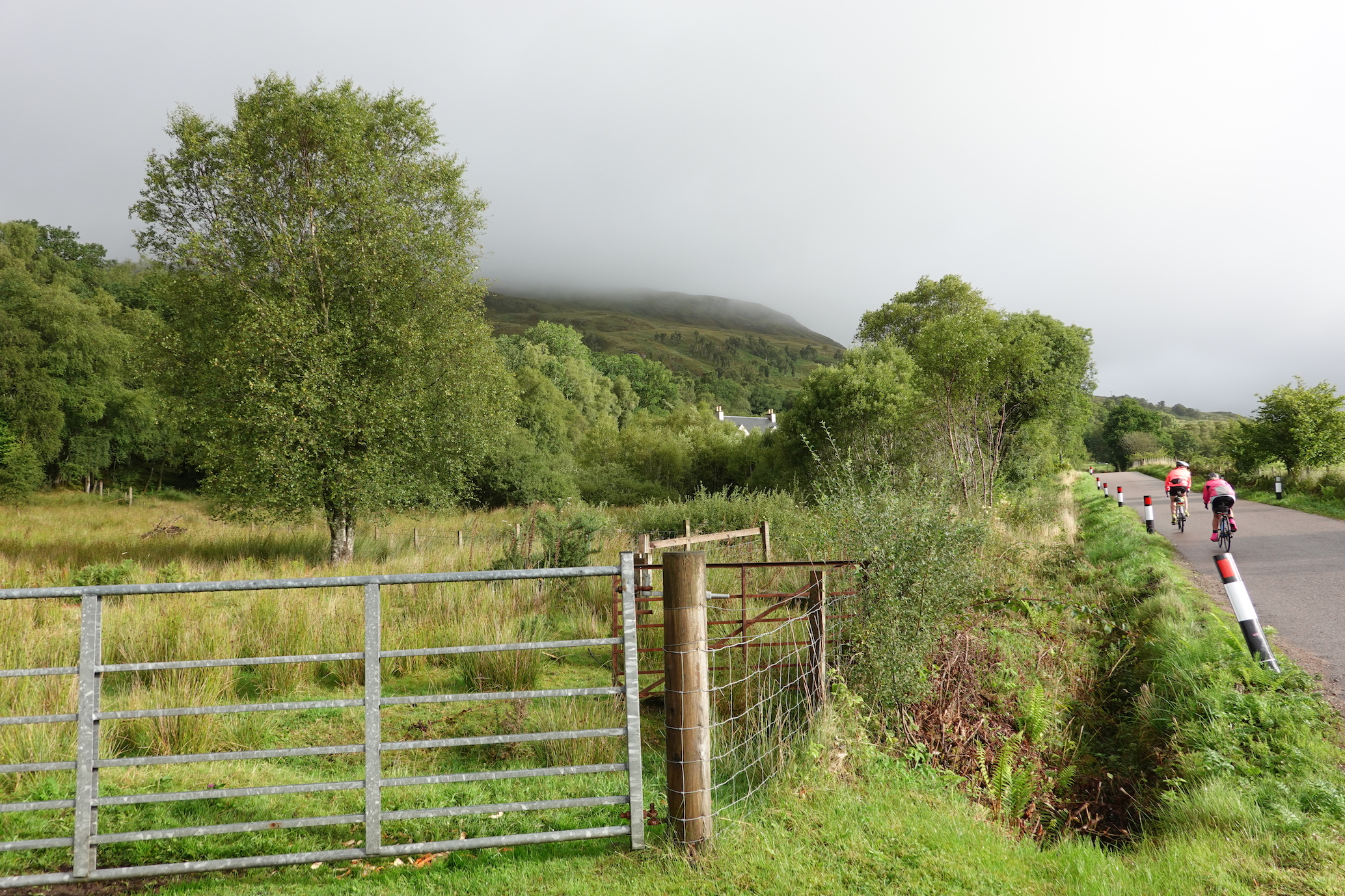 After two or three miles. Weather not too bad
It wasn’t long before we were cycling along the Caledonian Canal, parallel to the River Lochy, and we quickly made a right turn and a left to follow the eastern bank of Loch Lochy. And it started to rain. It rained buckets. It rained, to borrow an expression from Levon Helm, speaking about The Band’s concert at Watkins Glen, like a cow pissing on a flat rock. My jacket did its job pretty well, but my hands were cold and wet and my feet shipped water from below, up through where you screw in the cleats, and from above, with moisture seeping down my legs and into my over-shoes. I have no photos of these weather conditions, because my camera was misbehaving, and I didn’t want to exacerbate things by getting it wet. And because I didn’t want to stop.
But then, suddenly, the rain did stop, and as I cycled I could feel the water evaporating from my body rather than accumulating on it. I can’t remember distances or times, but I felt a strong need for a cup of coffee after about 25 miles, and found a hotel which didn’t mind my leaving the bike in their entrance and having a sopping wet cyclist sullying their sophisticated decor. As I sipped I saw The Whippets go by (one of them had had a puncture) and then I saw the main peloton, so after a few minutes I jumped on my bike and headed up the hill behind them. I didn’t want to join the autobus.
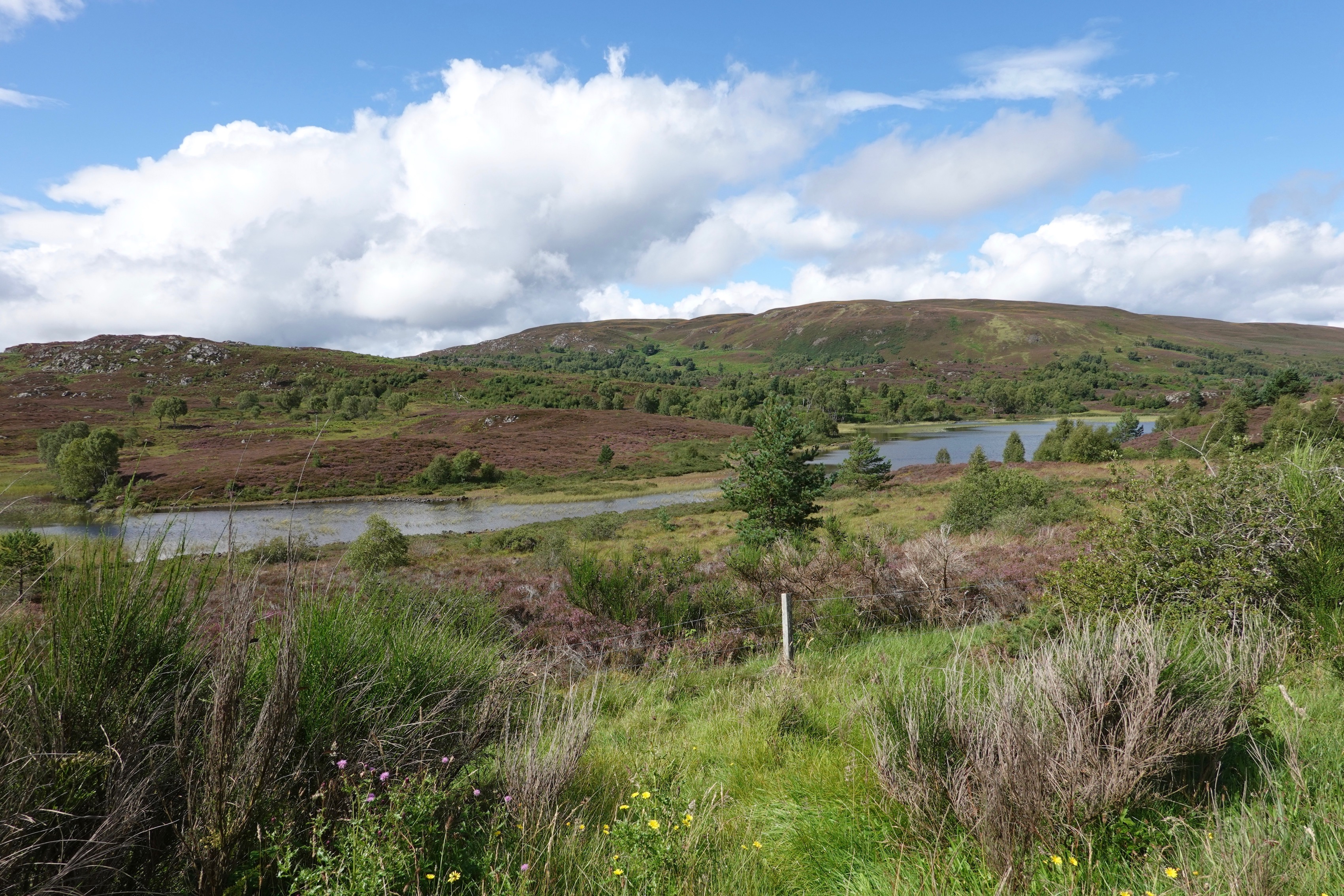
Cycling relatively quickly I came to the cycle path along the Caledonian Canal. This was excellent riding. The surface could have been smoother, but it was so tranquil I had no desire to go terribly fast. Besides, there were walkers and cyclists coming the other way, and there was a speed limit of 15 mph. Here is the beginning of the path. You can see that it’s still a bit overcast, but it brightened up very quickly.
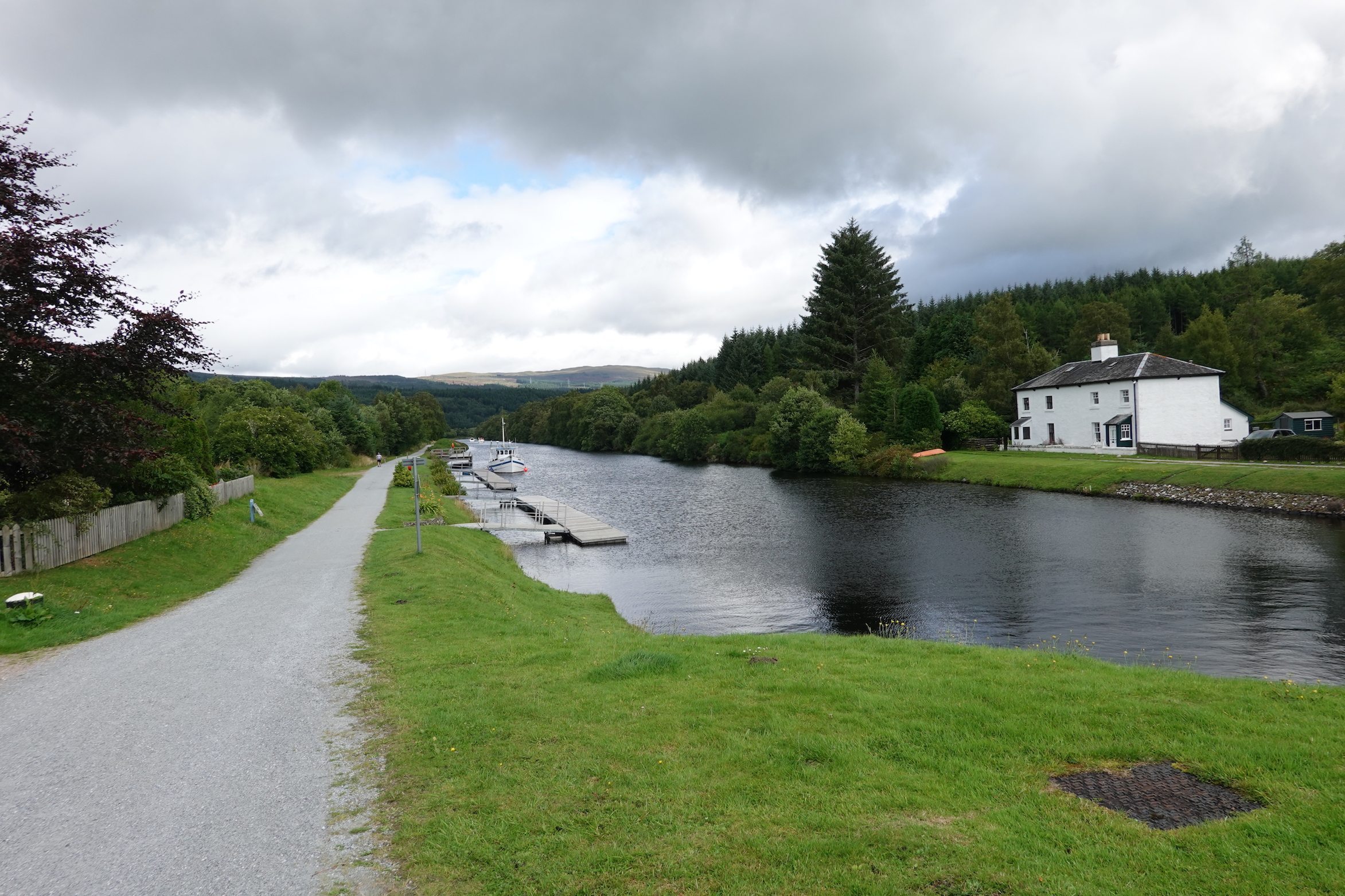 Caledonian Canal cycle path (1)
And here is a photo taken further down.
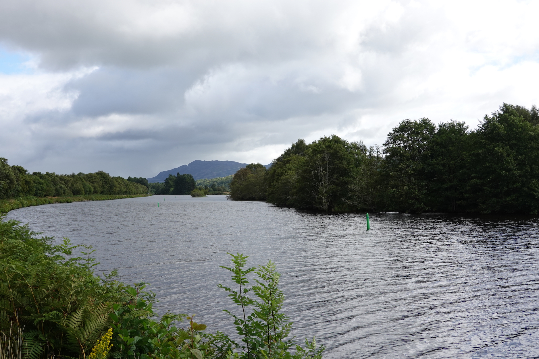 Caledonian Canal cycle path (2)
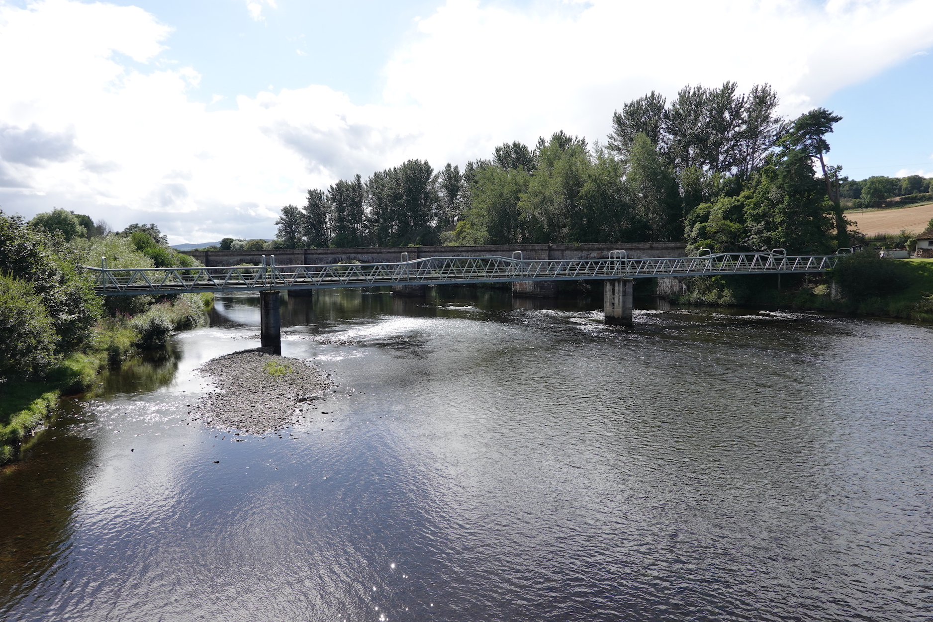
From here it was an easy ride, past an old bridge, through some beautiful weather on the banks of Loch Ness (no, I didn’t see it), past Urquhart Castle, and into Drumnadrochit.
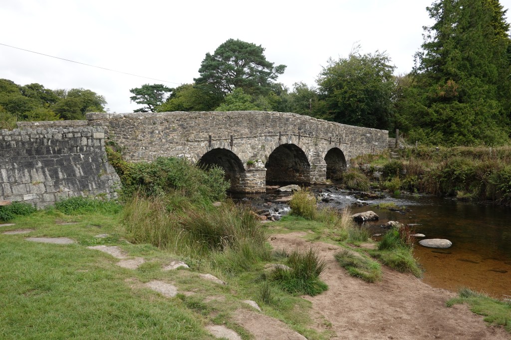
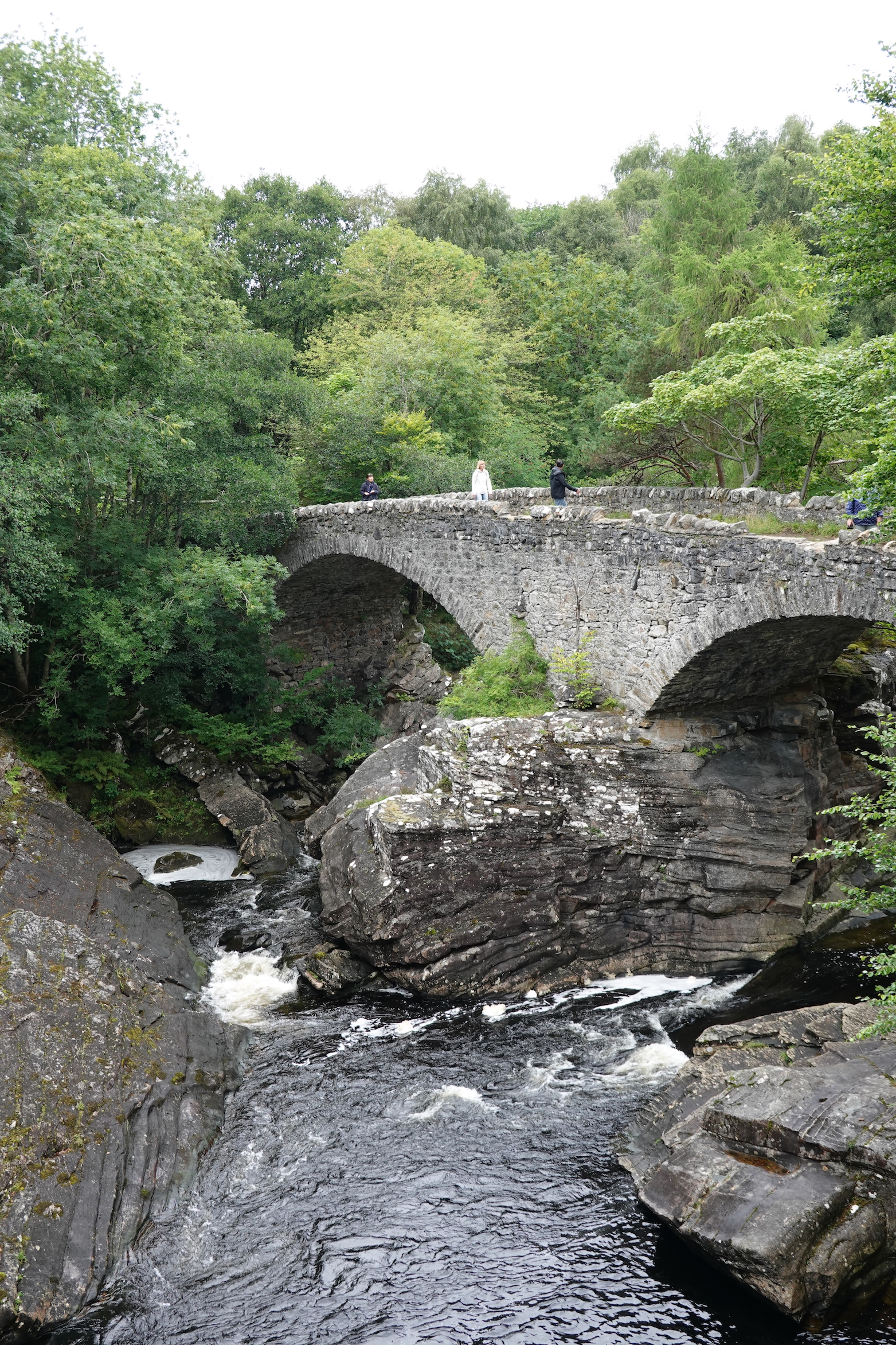 Bridge
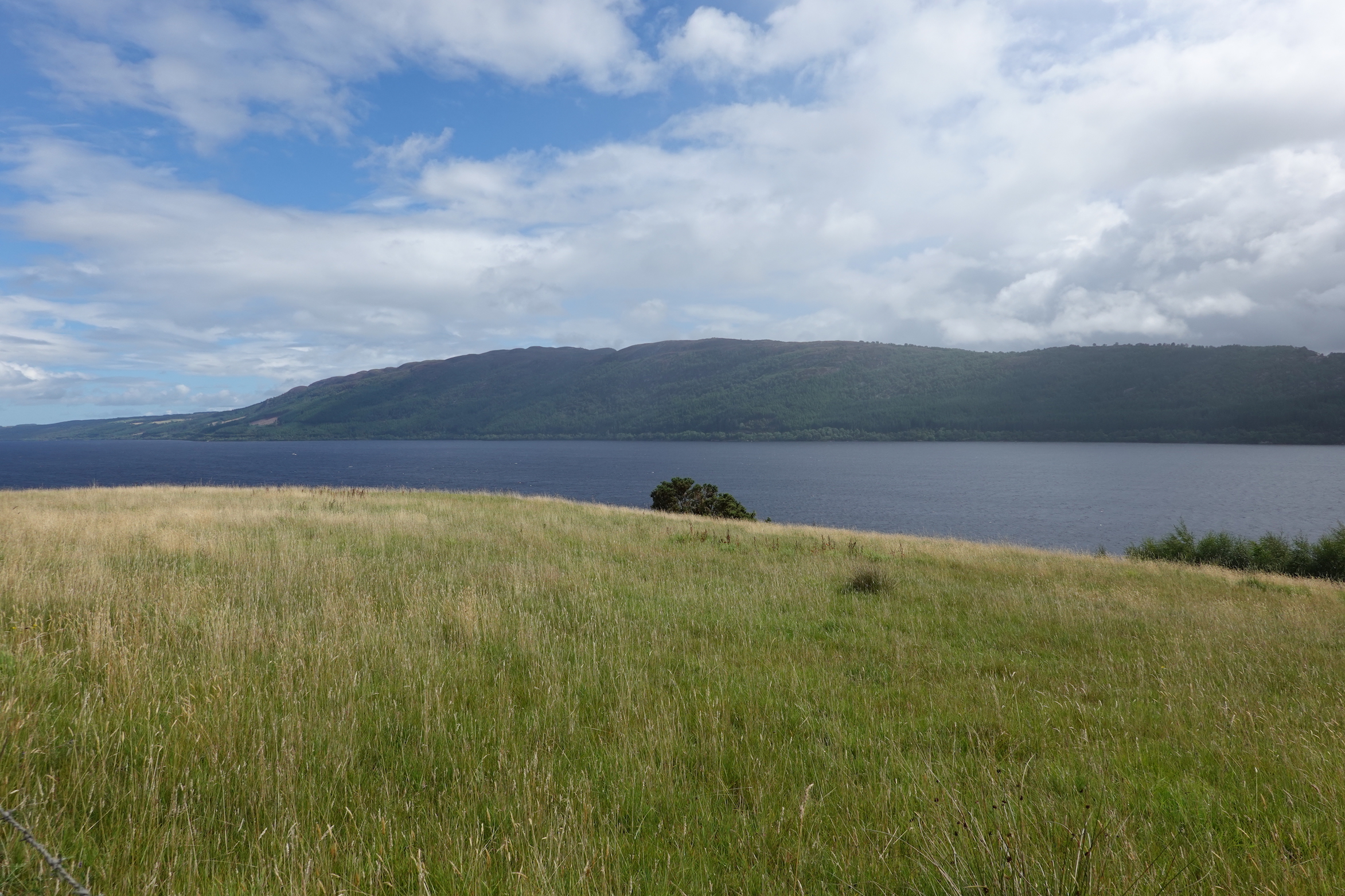 Weather on Loch Ness—how it changes
Drumnadrochit is a rather undistinguished village, but it makes the most of its proximity to the Highlands, to Urquhart Castle, and (especially) to Loch Ness.
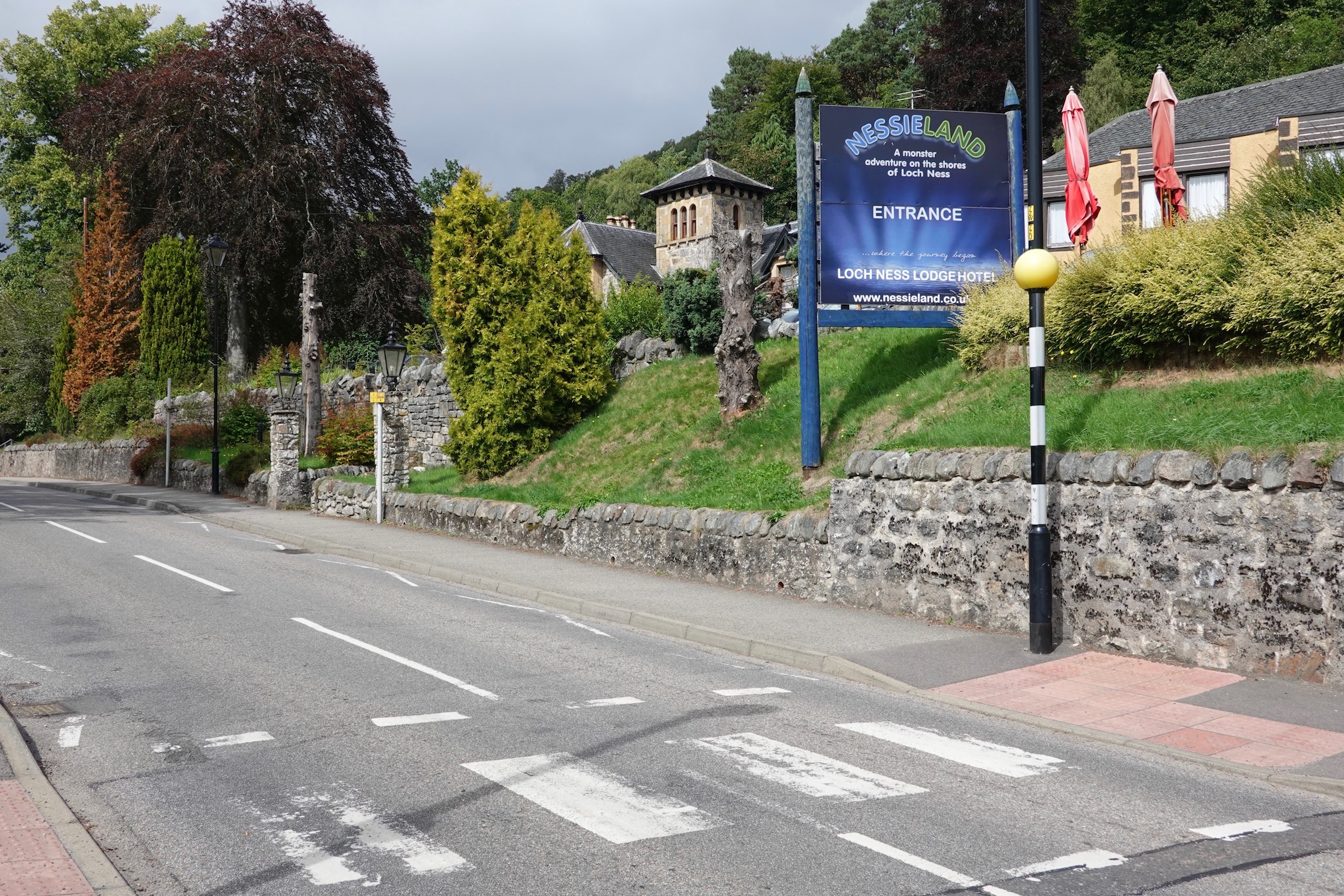 Nessieland. Give me strength
But then! It was The Climb Of The Day. You can see it on the profile below, at 55 miles. The profile is slightly exaggerated—it’s not quite straight up—but it’s 15% or so for 1.6 miles, and it’s no joke.
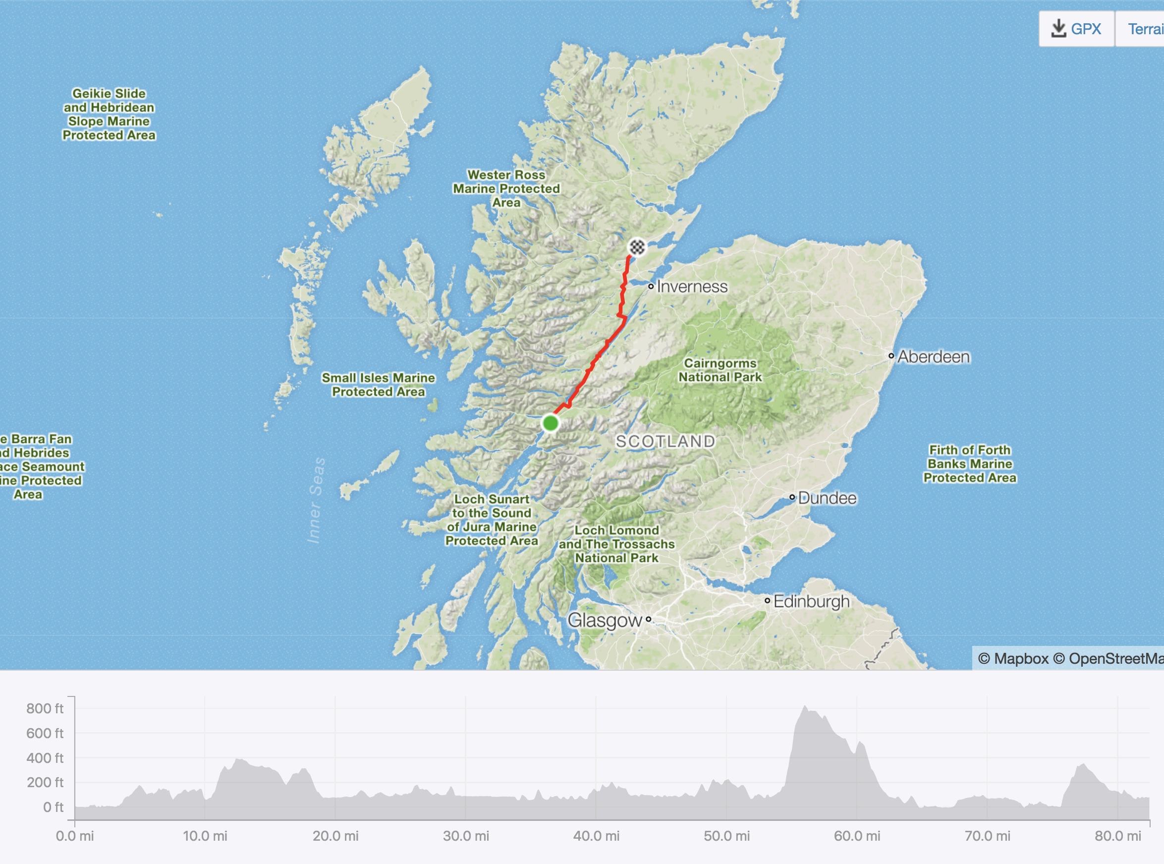 Today’s ride, with profile
I was determined not to walk up this hill, and I succeeded, although I did have to stop at one point. At the top I took a break to take a photograph, of course.
 The view from the top of the climb
Nigel soon joined me, saying that the other Whippets were on the way. And then a very nice woman in a very nice car stopped and said that if we were waiting for our friends we’d have to wait a while, because they were walking. I have no further comment to make.
I continued, adopting my usual strategy of going faster at the end of the ride (I don’t know why I do this). I did stop to take a photo of a Highland Cow.
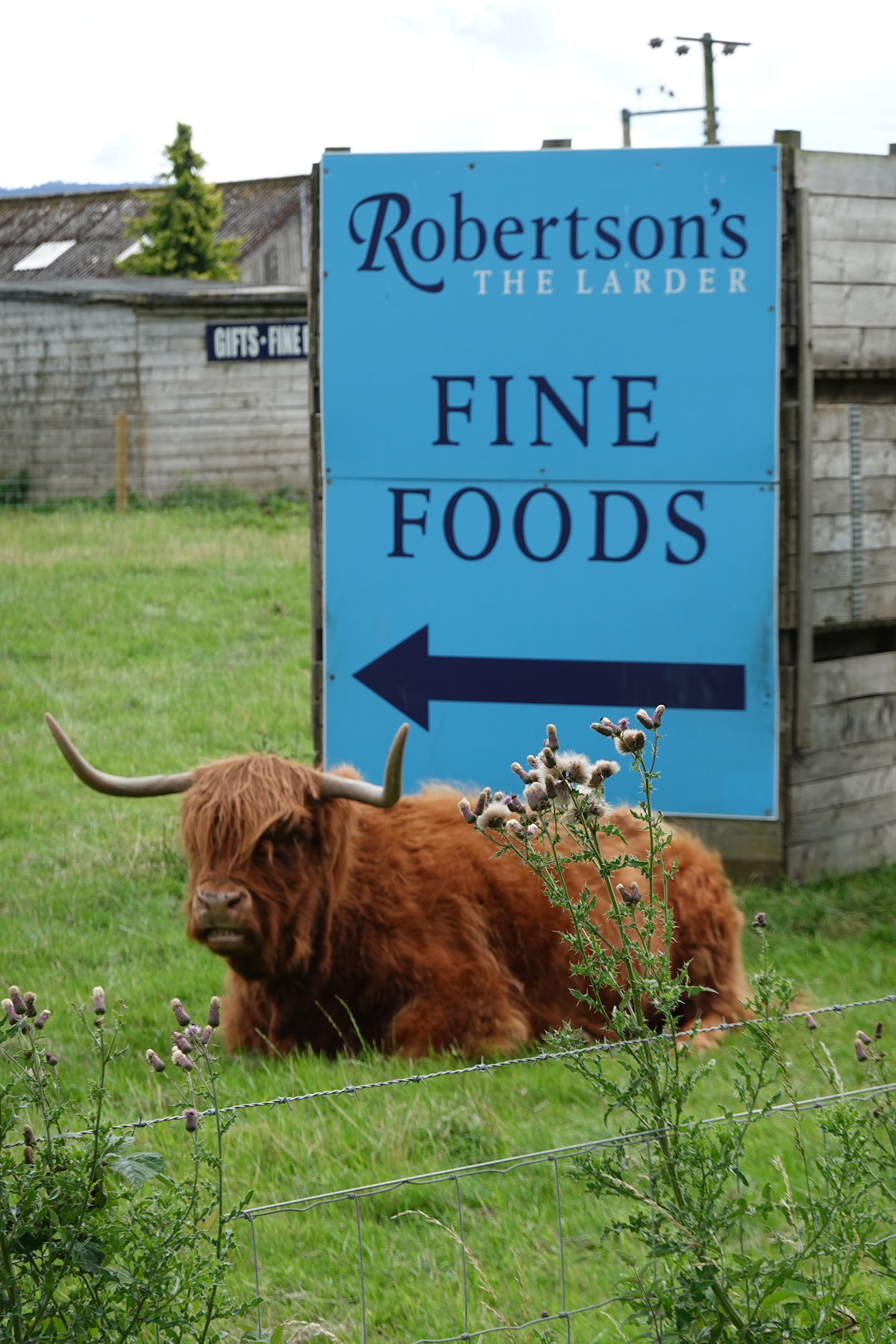 Highland cow
And later we passed Conan road and rail bridges.
 Conan Bridges
And then the Cromarty Firth and the very impressive Cromarty Bridge.
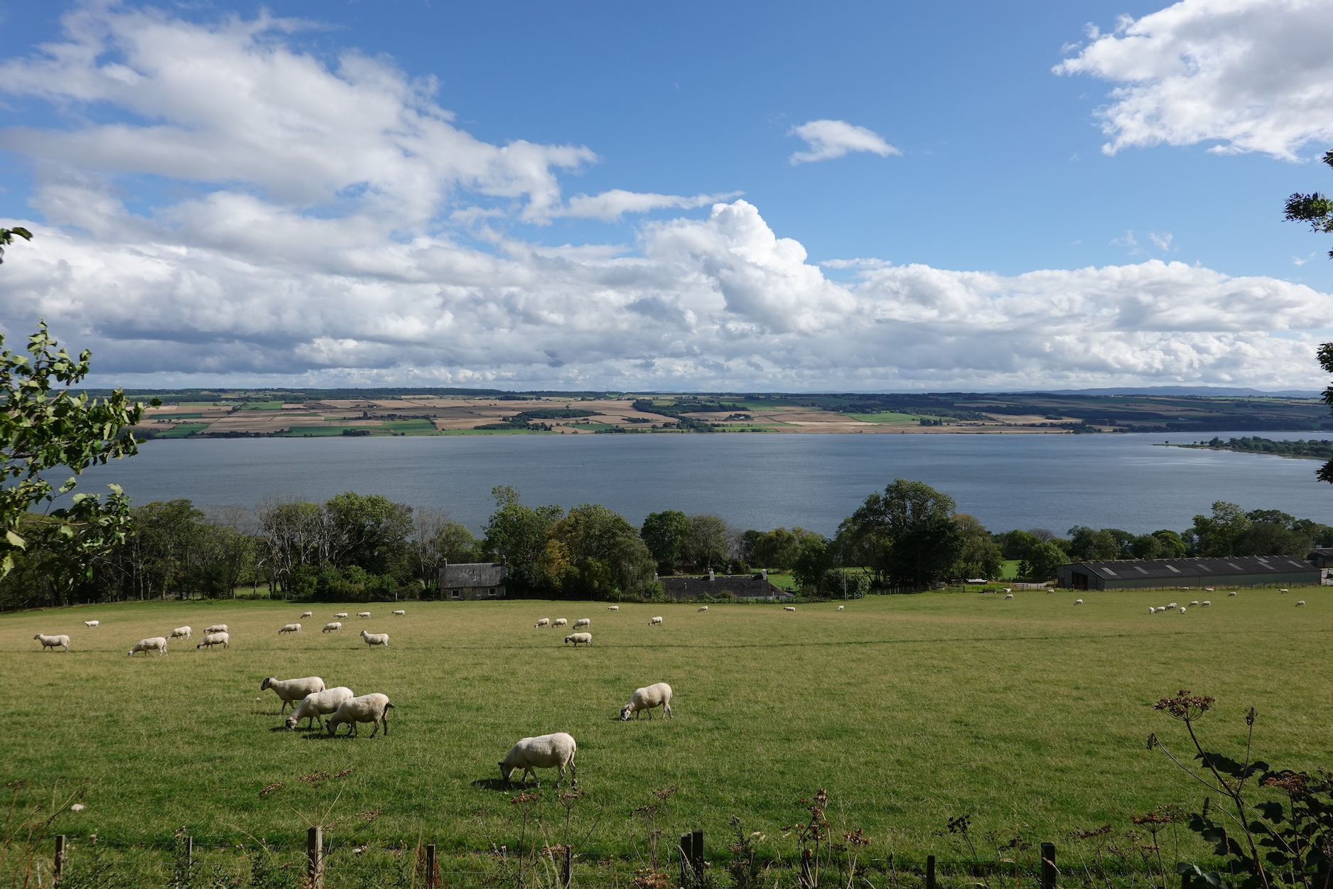 Cromarty Firth
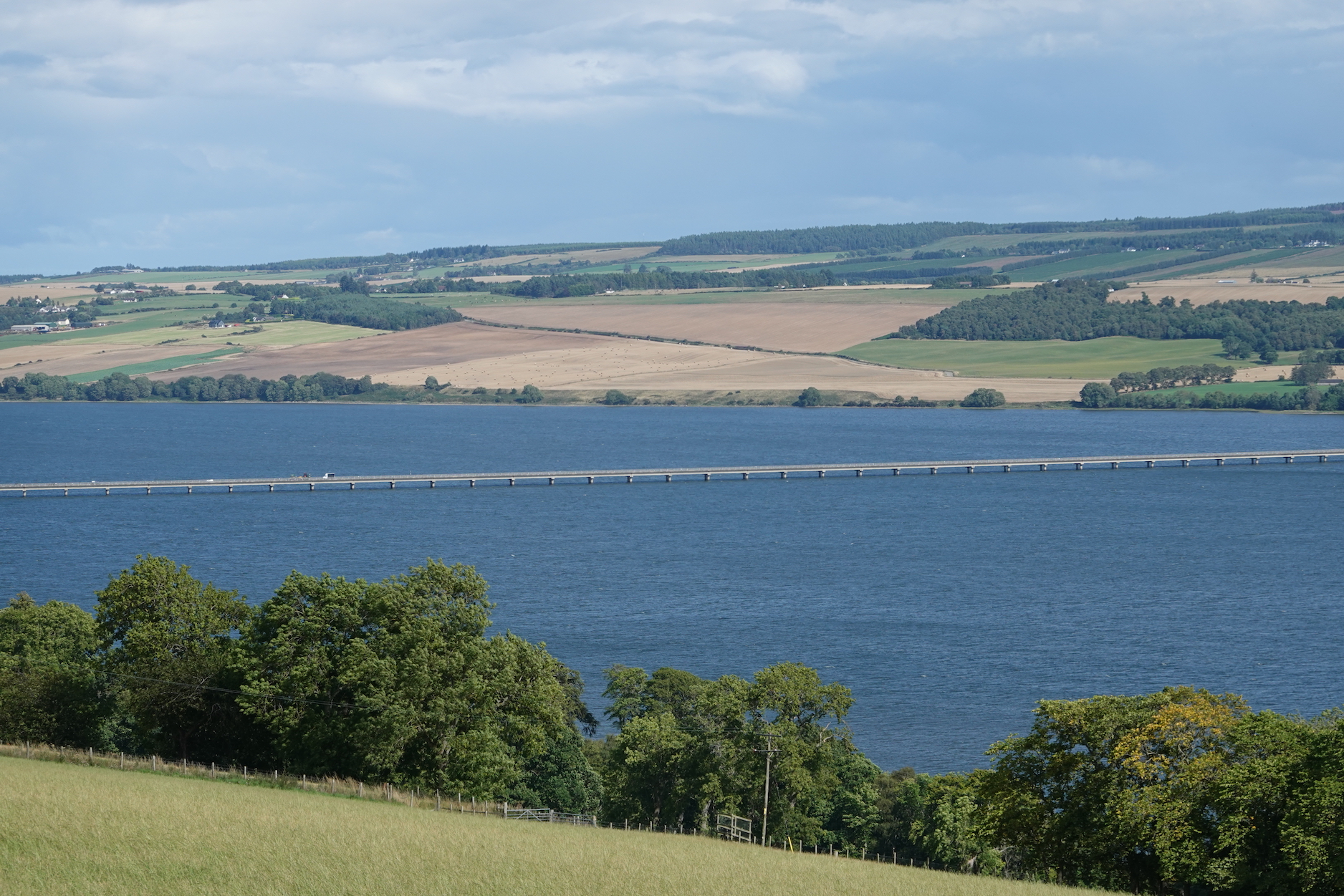 Cromarty Bridge
We were supposed to go to a hotel in Alness, but there was some sort of misunderstanding about accommodation, so we ended up in Evanston. As the end approaches, we are having more and more fun at dinner…
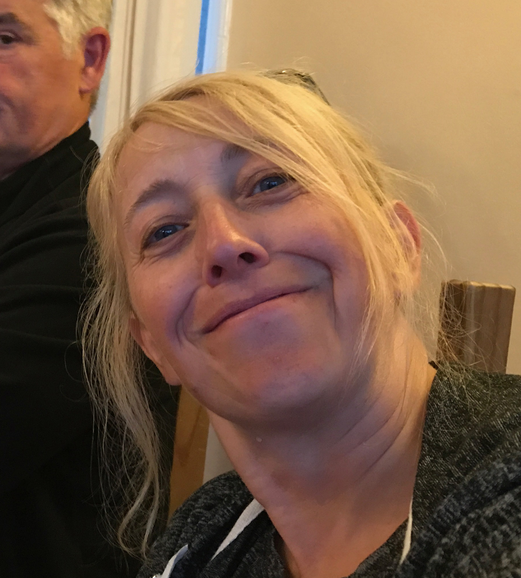 Allison
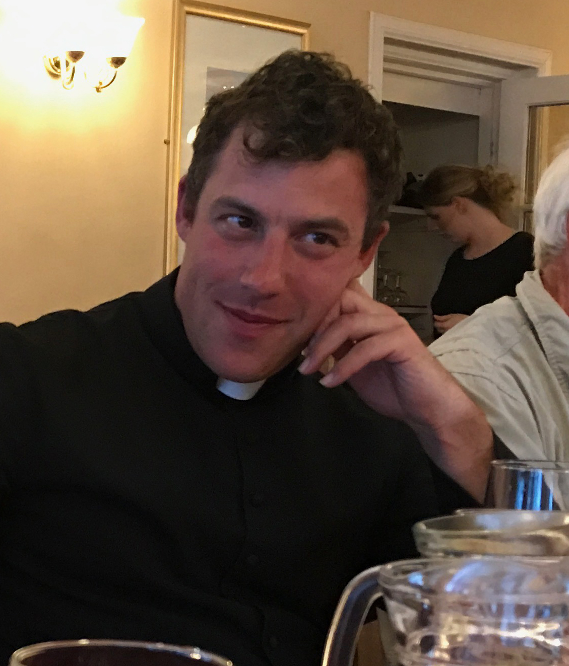 Father Paul
It was a long day but a good one.
Getting fit
Rob says quite frequently that by the end of LEJOG we cope with hills much more easily, or begin to look at a ride of 75 miles as routine, because we are getting fitter. Is this right? Can we really get fitter in, say, ten days?
I’m not sure we can, and indeed my sense is that after ten days the ravages of cycling LEJOG—shoulder and back pain, numbness in the hands and fingers, knee trouble, saddle sores—make us less able, physically, to cope with the challenges of long rides.
However, I confess I don’t have much real data about how long it takes to get fit, beyond personal experience (marathon training, for example), a scan of the internet (for example, this), and the understanding that what counts in getting fit is rest days, when the body can recover (we have had no rest days on our trip). Maybe Bike Adventures should collaborate with a sports science department to take measurements from its customers every day, to find out what the truth is. I’m sure there is some excellent science to be done.
For what it’s worth, I think it’s all in the mind. I don’t feel much fitter, and I am so tired by the evenings that even writing this blog is sometimes beyond me (I am writing this part of the blog the morning after our Fort William to Alness ride the afternoon after our ride to Bettyhill because I fell asleep with my laptop on my lap and had to go to bed). I don’t think I have lost any weight, and I certainly don’t have muscles like steel hawsers. But I do know I can do long rides now, and I do know I can get up some steep hills, and I do know that I can hold a particular level of intensity for a particular time, and I think it is that knowledge that keeps me going.
If anyone reads this I’d be interested to know what they think.
Stats
Here are my data. Top speed of the trip so far, at 42.5 mph.
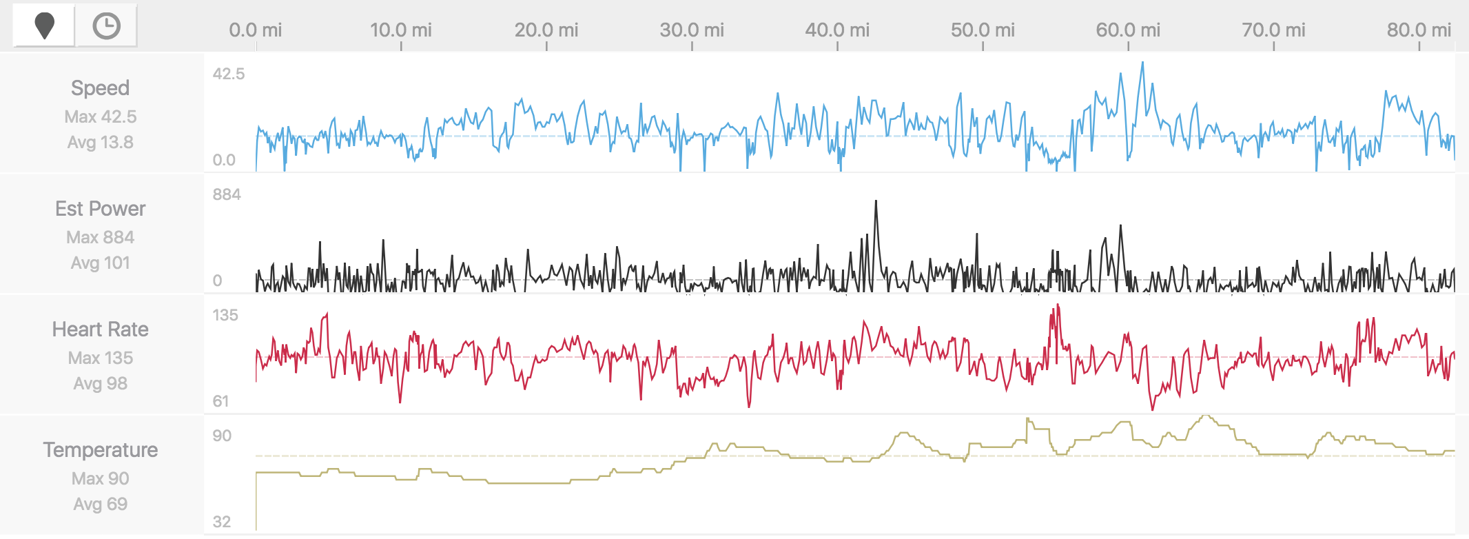 My data


 Great stuff!
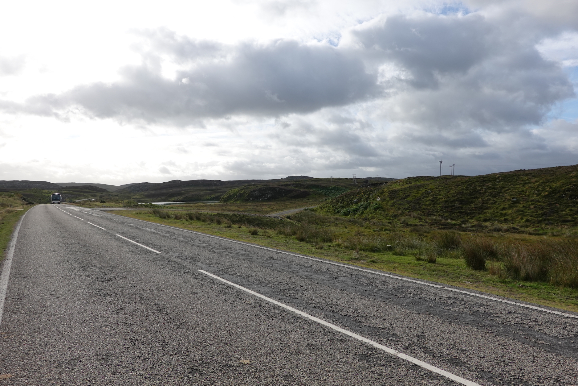 Beginning the final leg
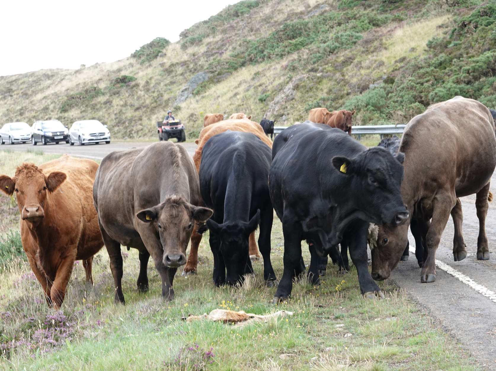 Are you looking for trouble?
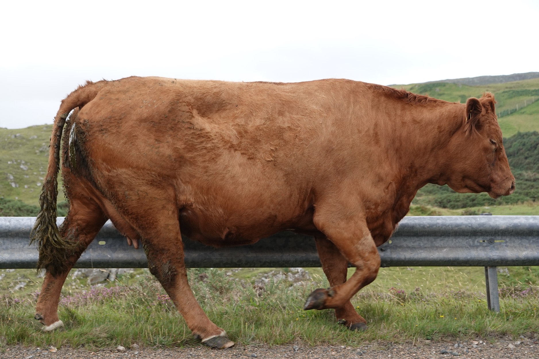 A big cow
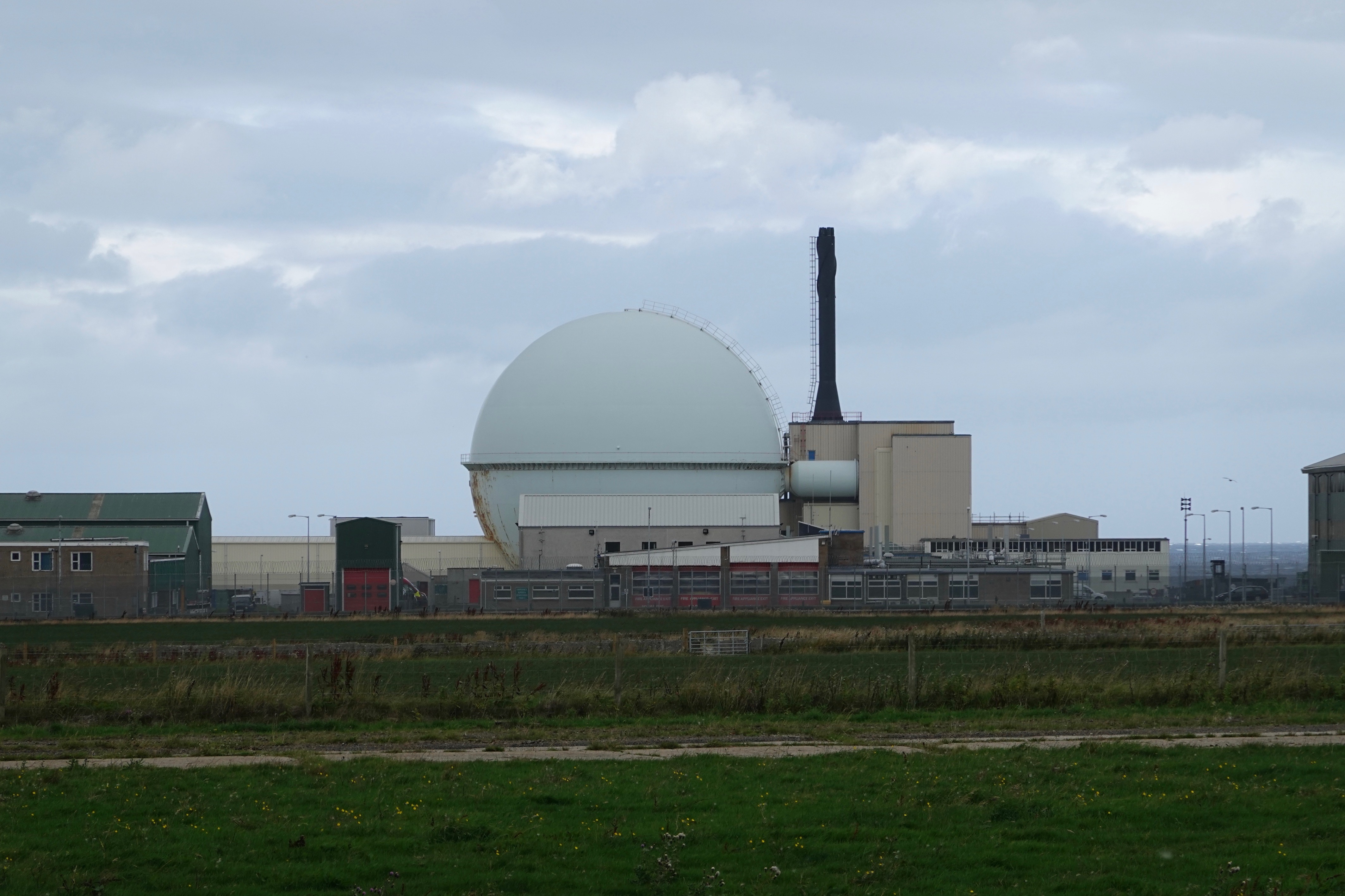 Dounreay
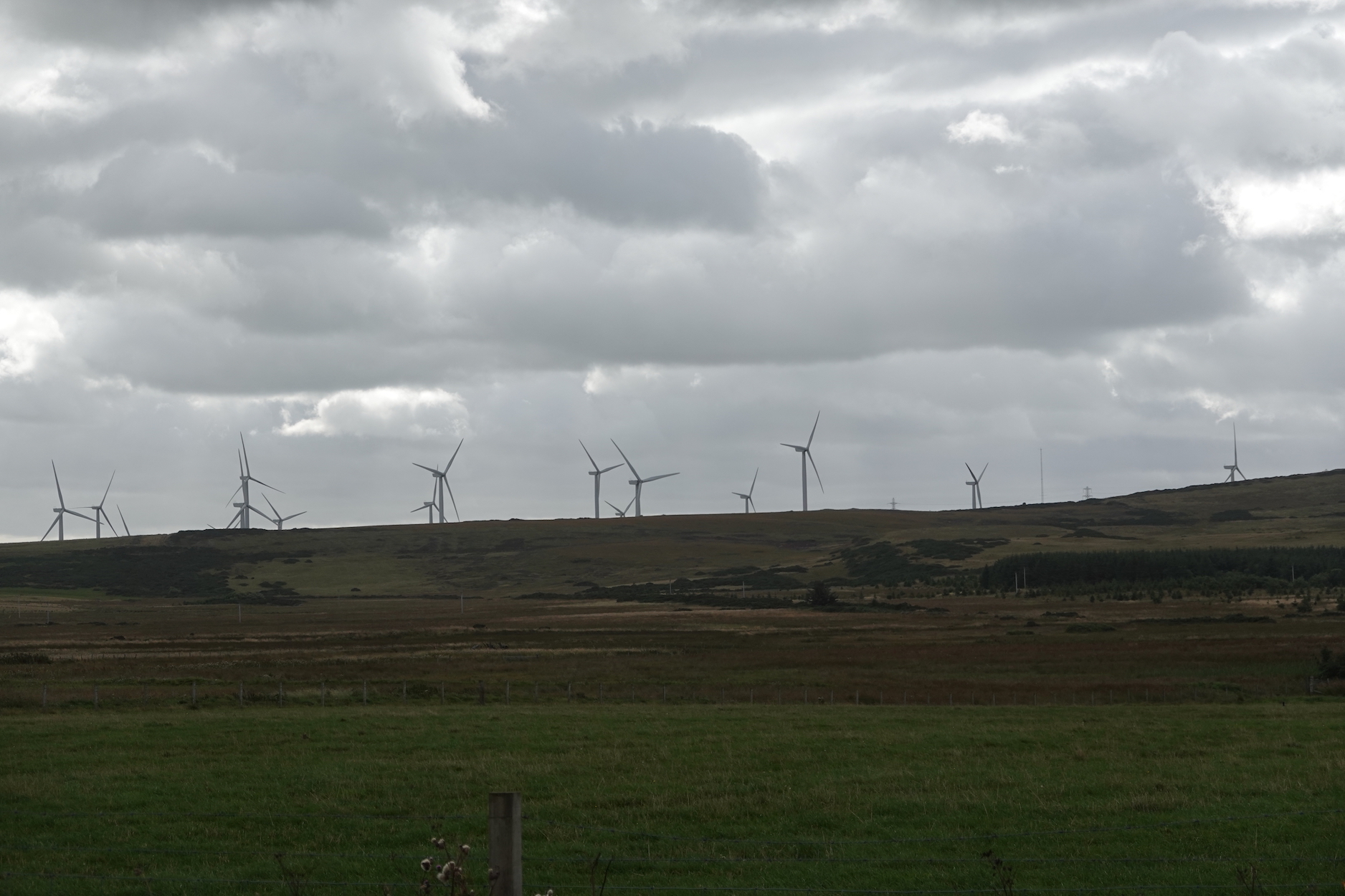 Wind farm
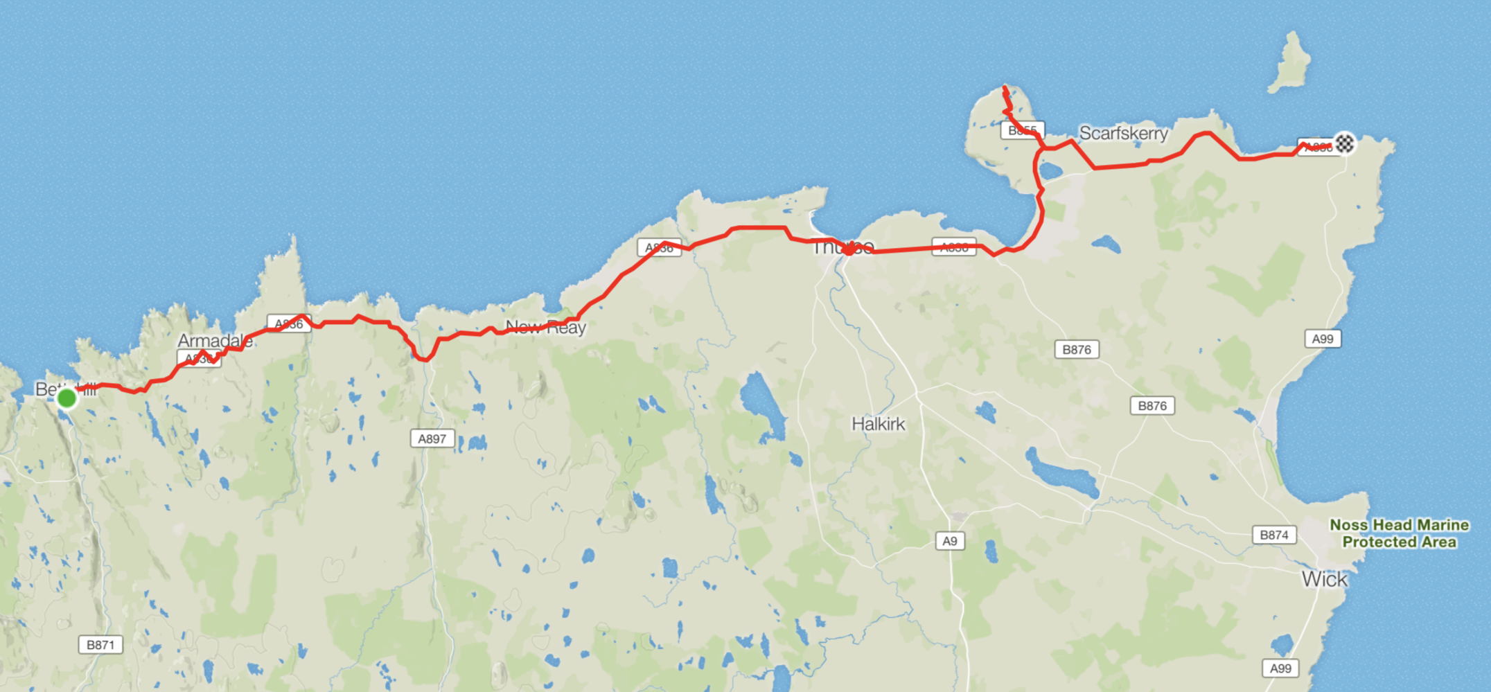 The route and the diversion to Dunnet Head
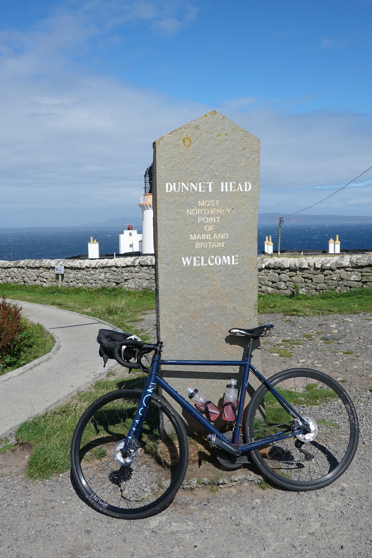 My bike at Dunnet Head
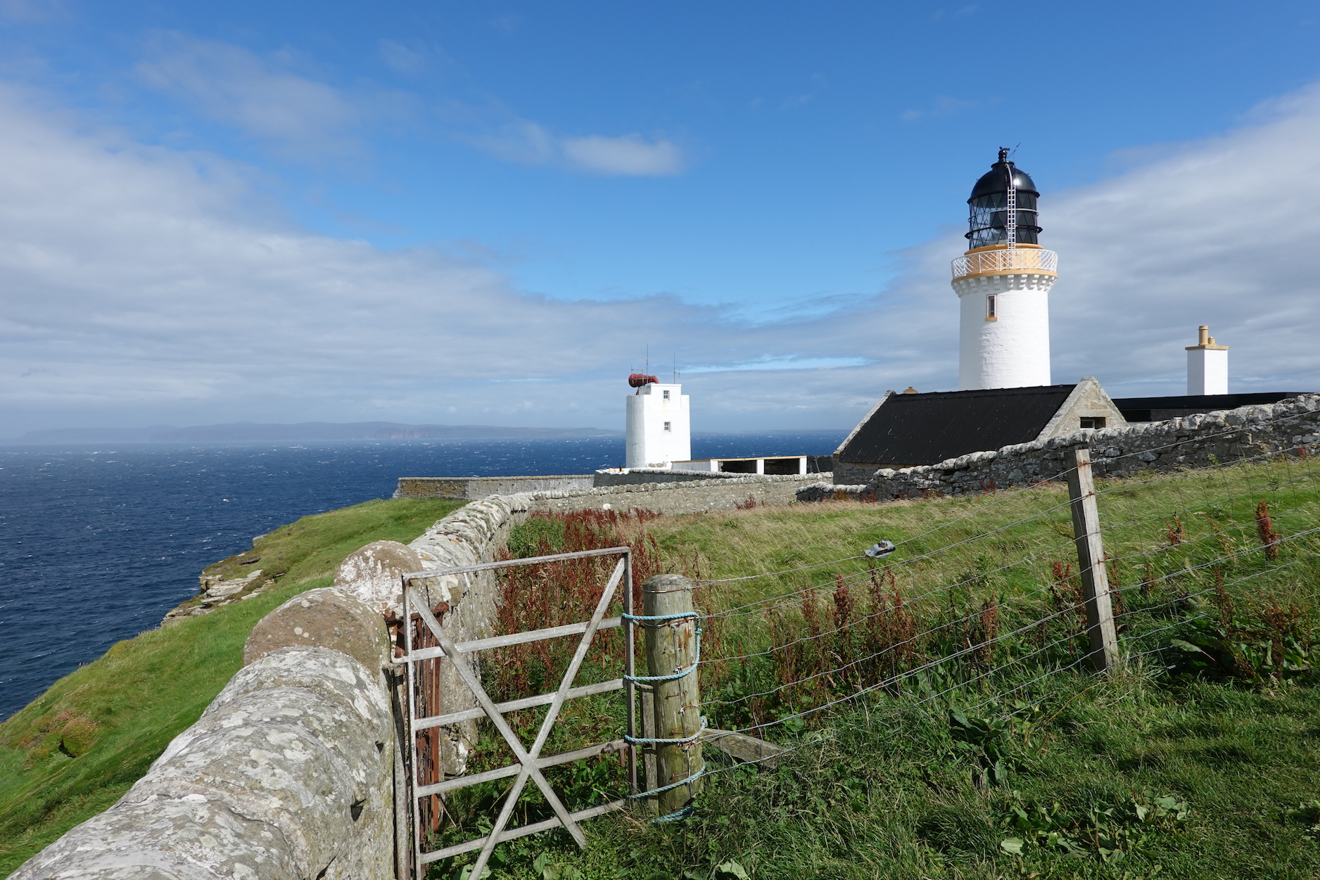 The lighthouse at Dunnet Head
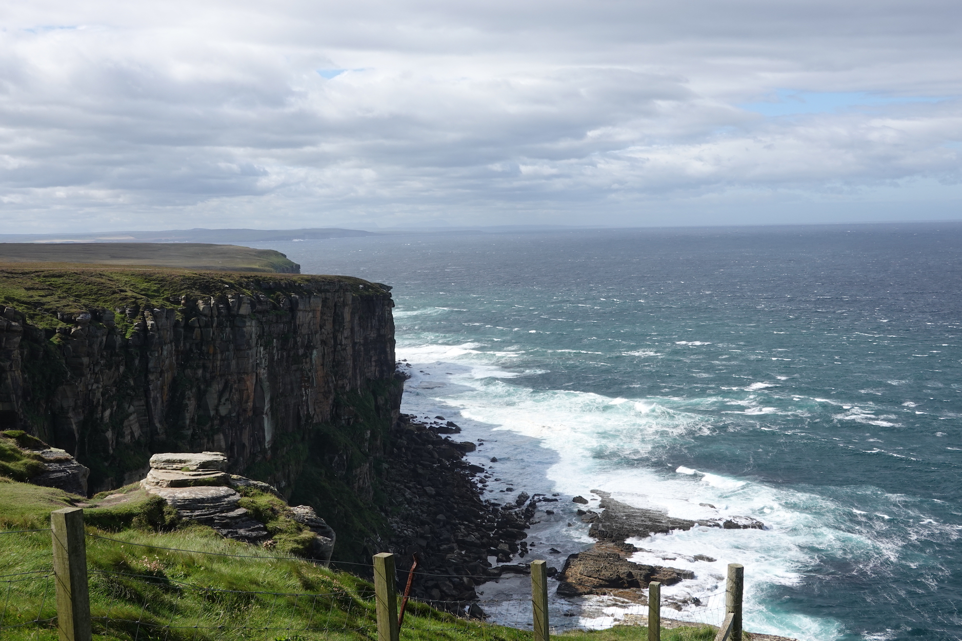 Looking west from Dunnet Head
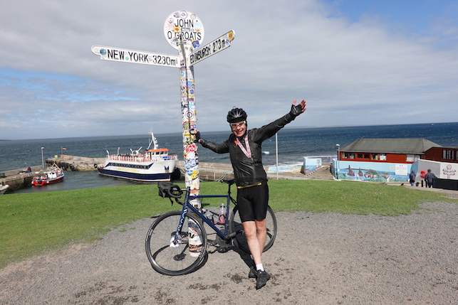 Made it
 Ann and Justin
 Pete
Pete Jack, with Nigel behind
 And roomies Allison and Lisa
 Dinner
 Climbing up to see Dornoch Firth
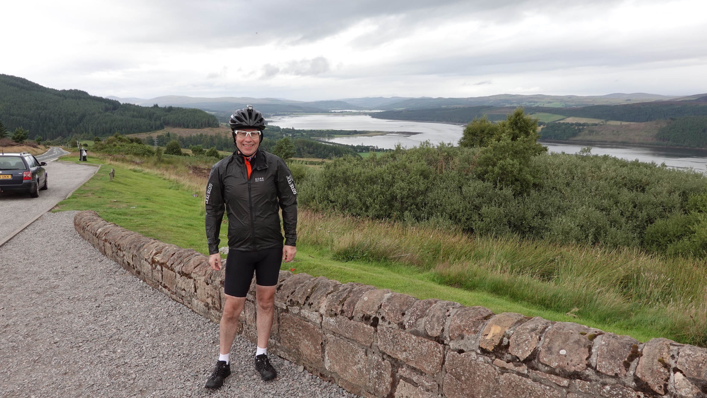 Jim turning his back on Dornoch Firth
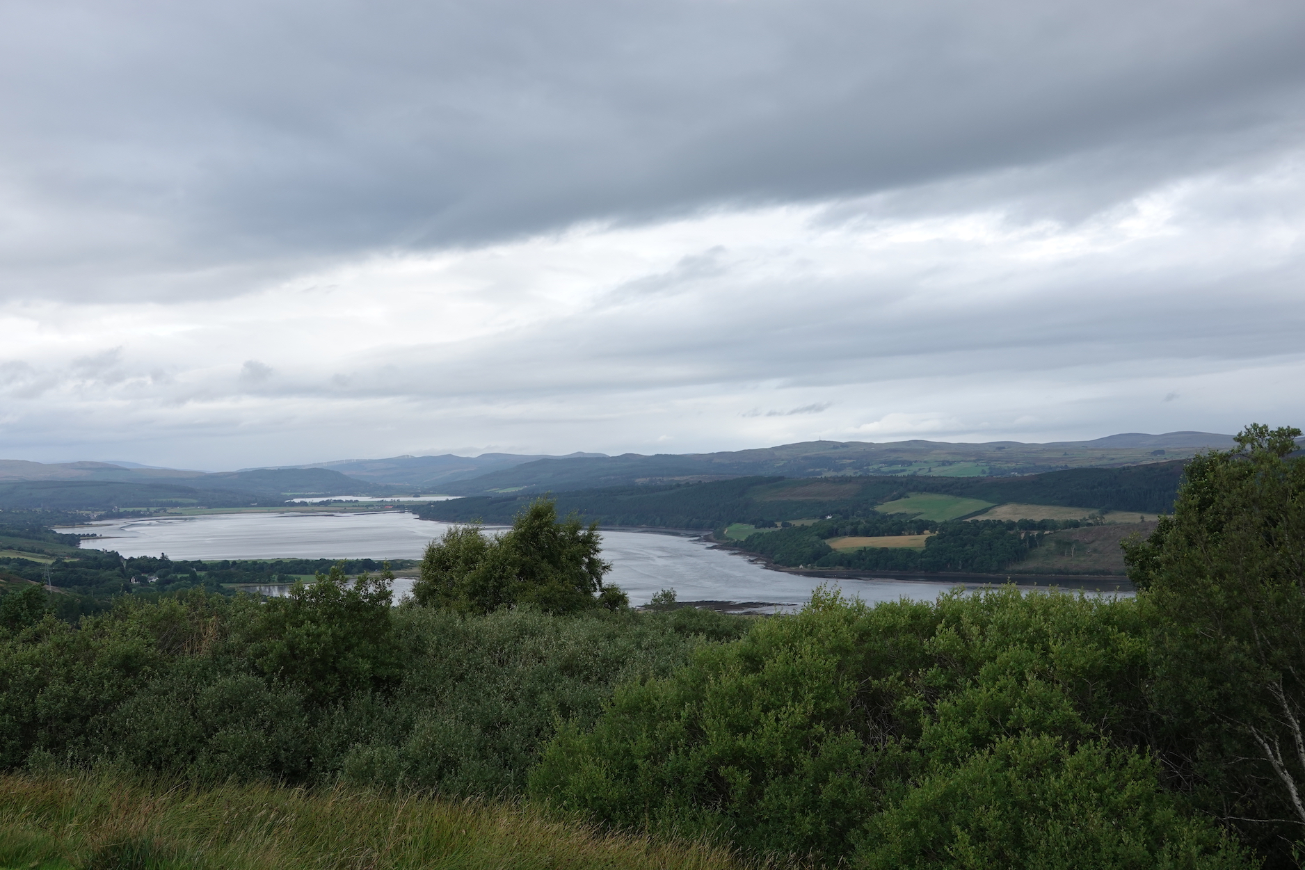 A view of the Firth
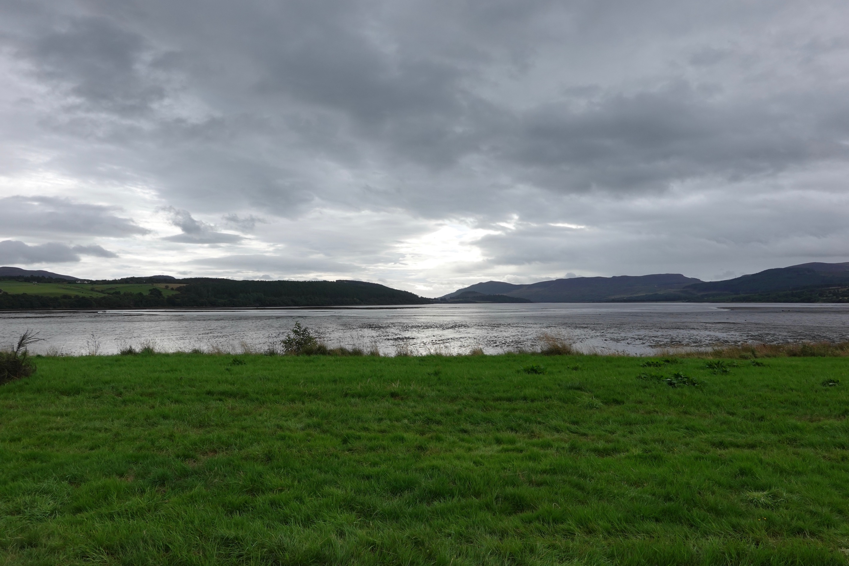 24 mm equivalent focal length (EFL)
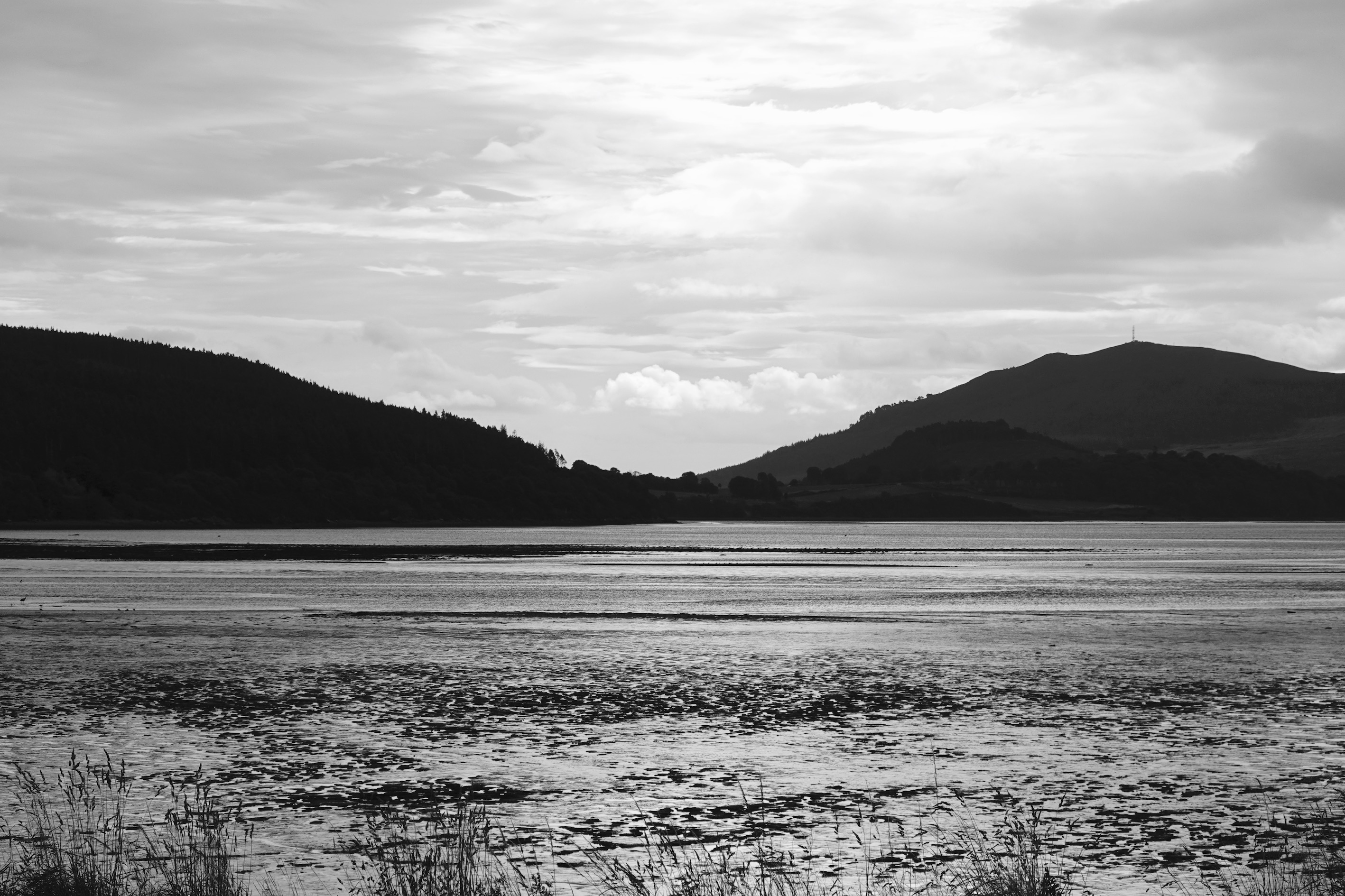 About 50 mm EFL, in black and white
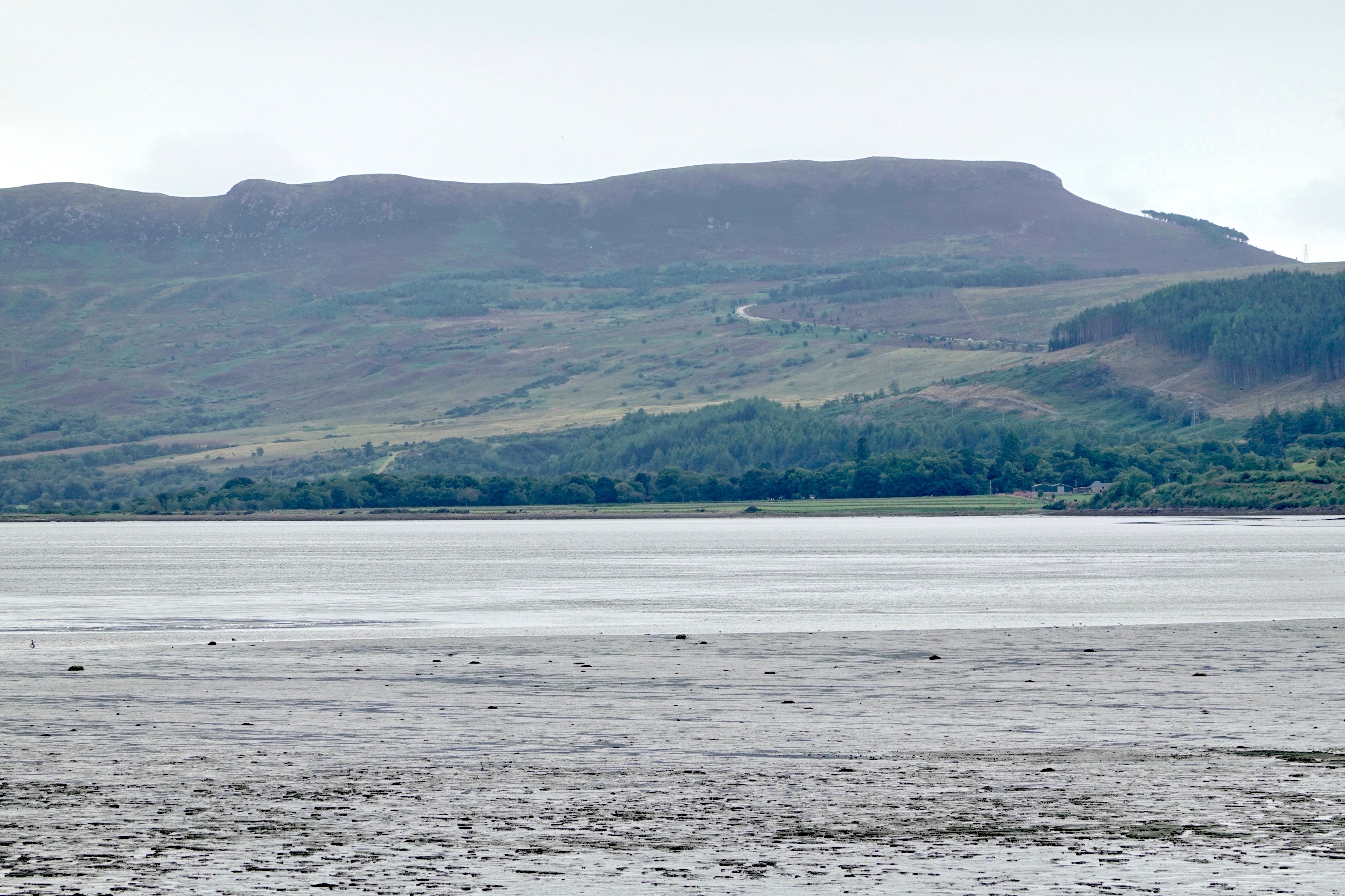 About 200 mm EFL. The little white arc in the middle of the hill is the road we came down
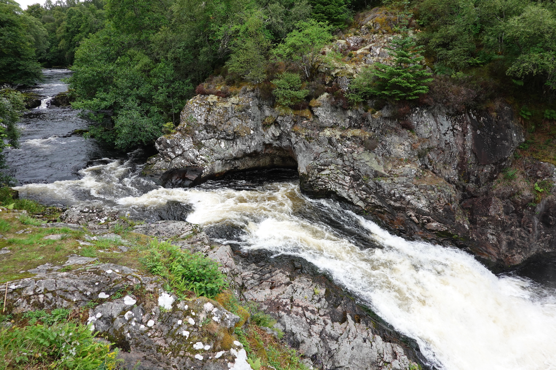 The Falls of Shin
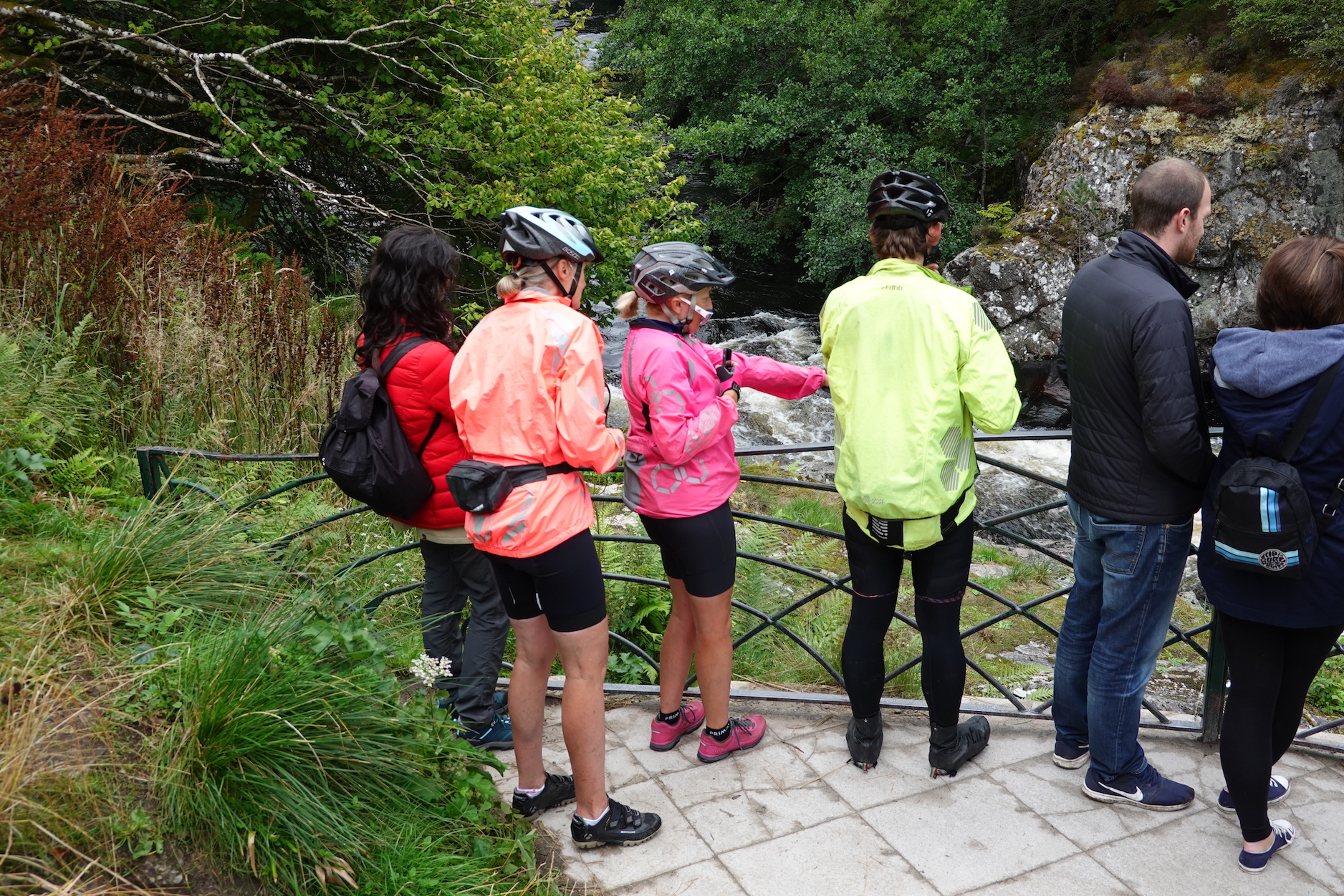 Salmon watching…
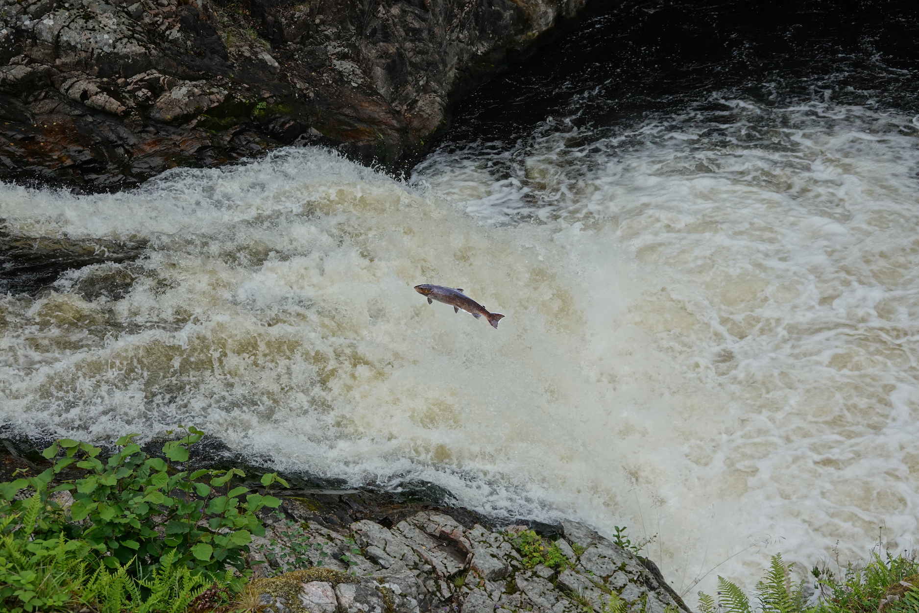 Salmon leaping?
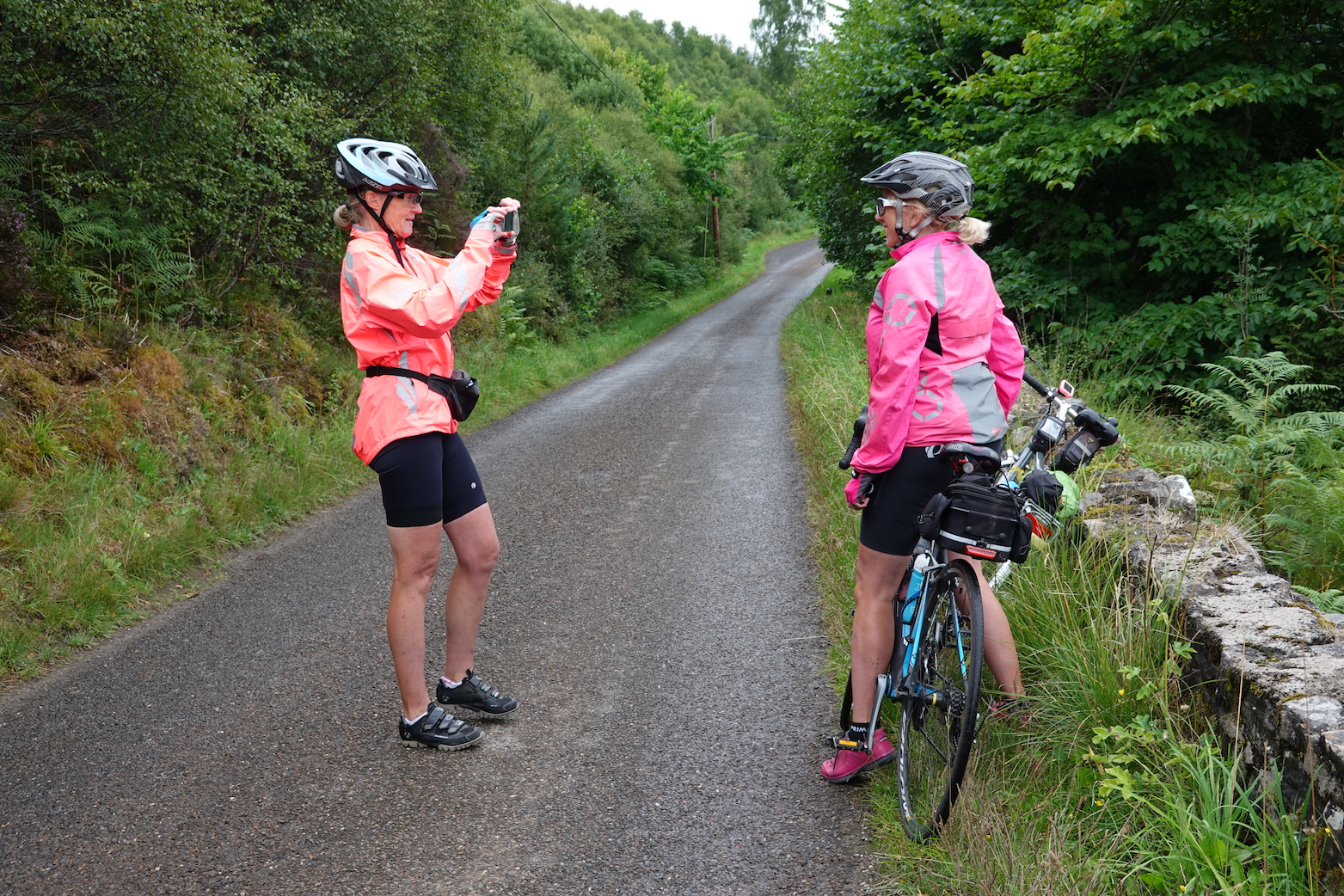 Photography
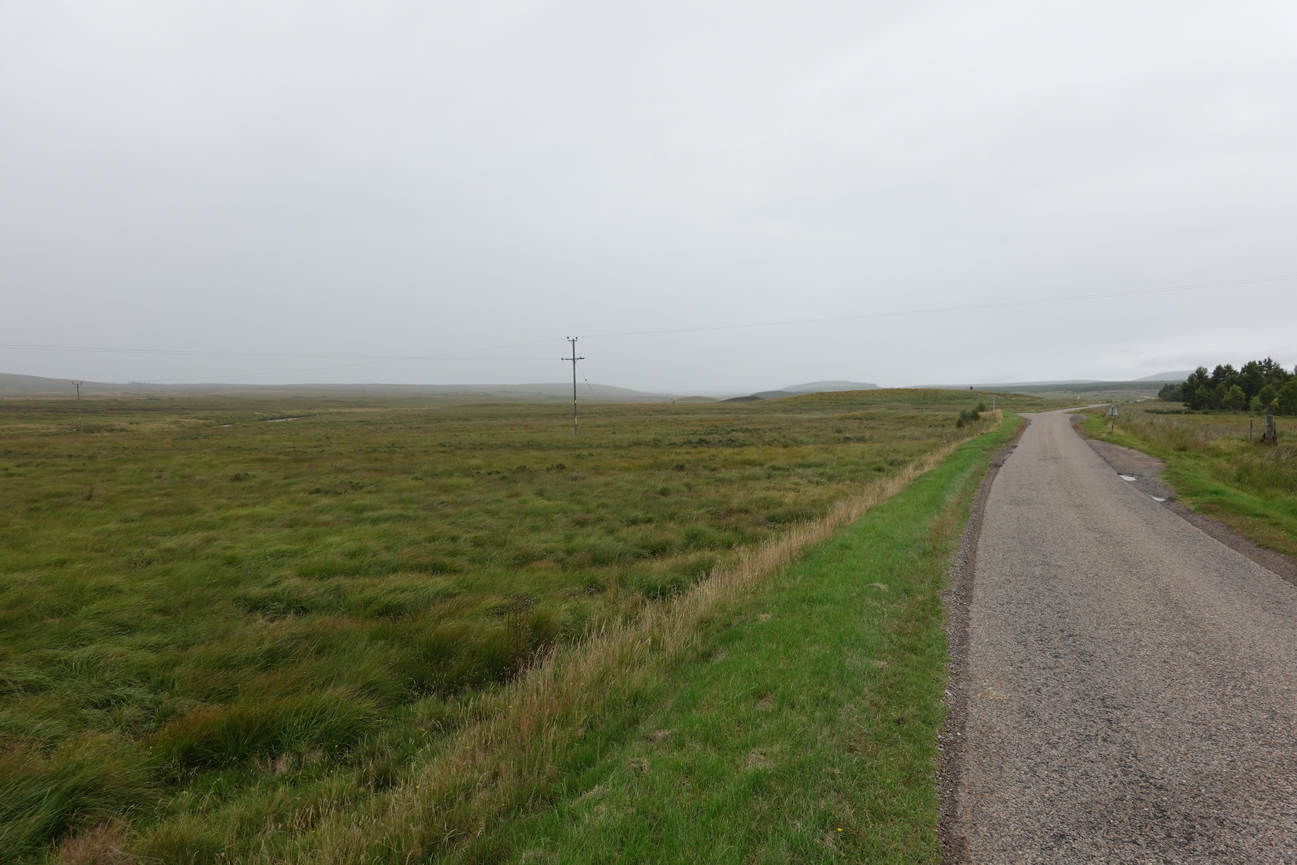 The
The 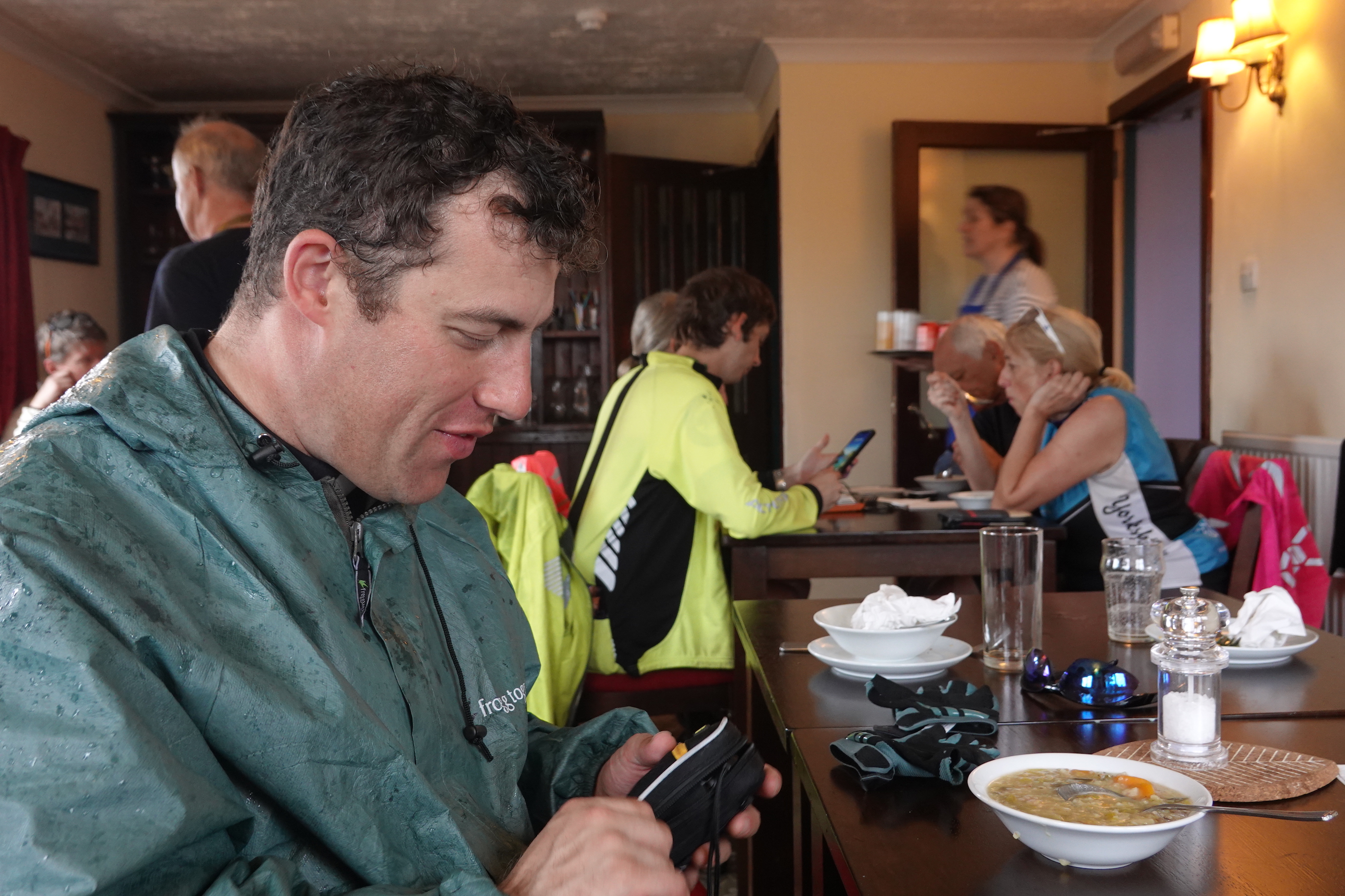 Father Paul in the Crask Inn
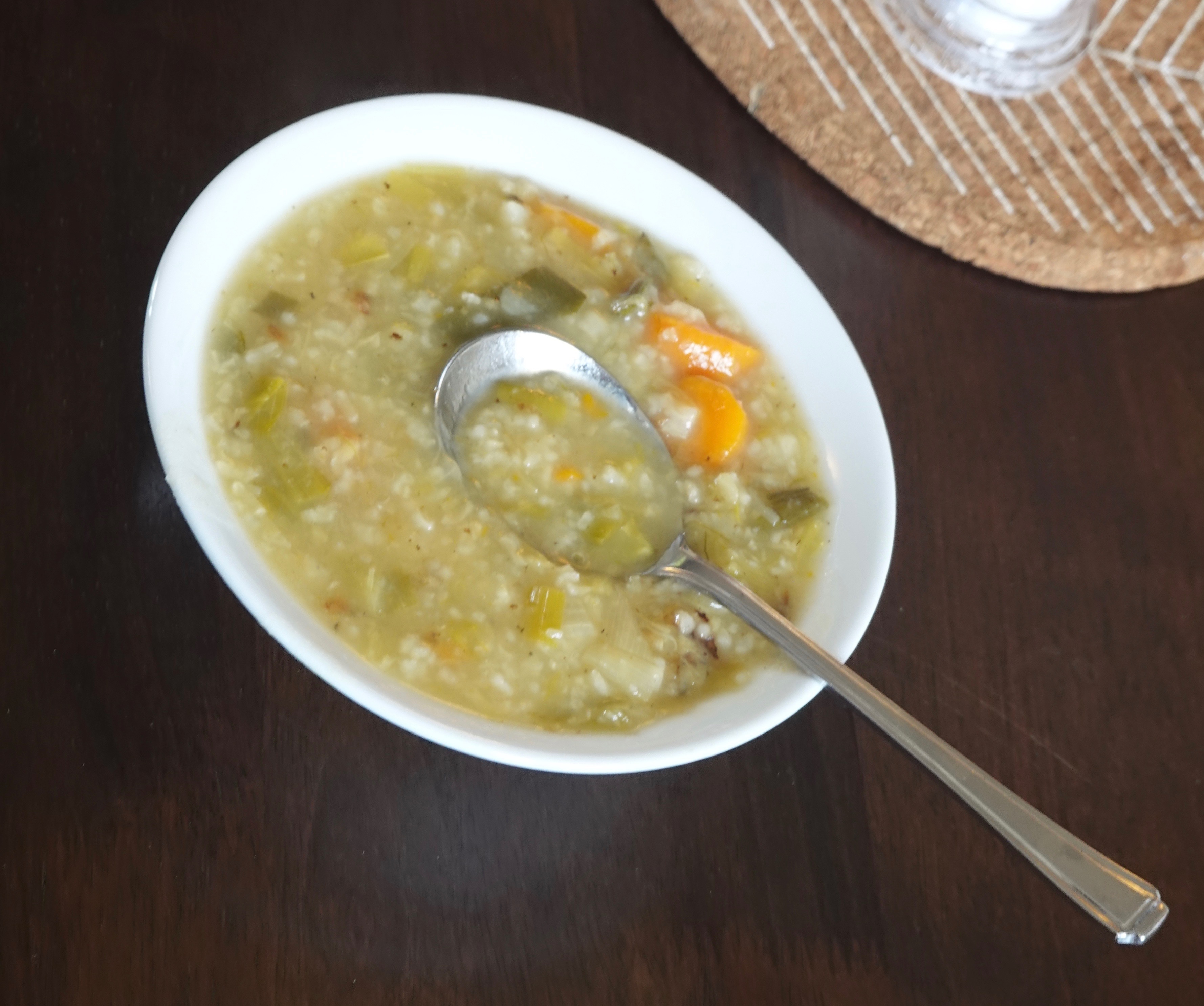 Paul’s soup
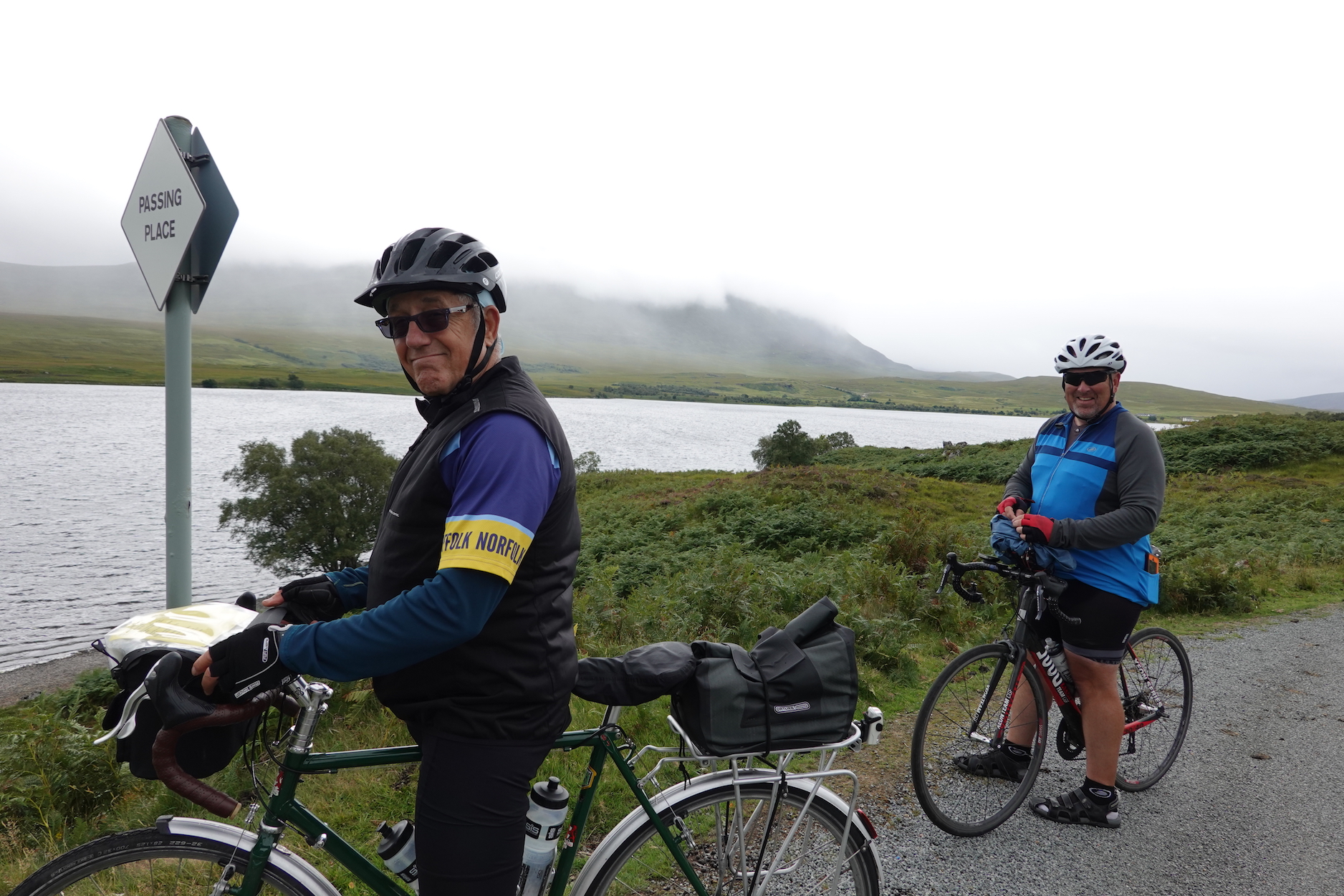 Jack and Pete
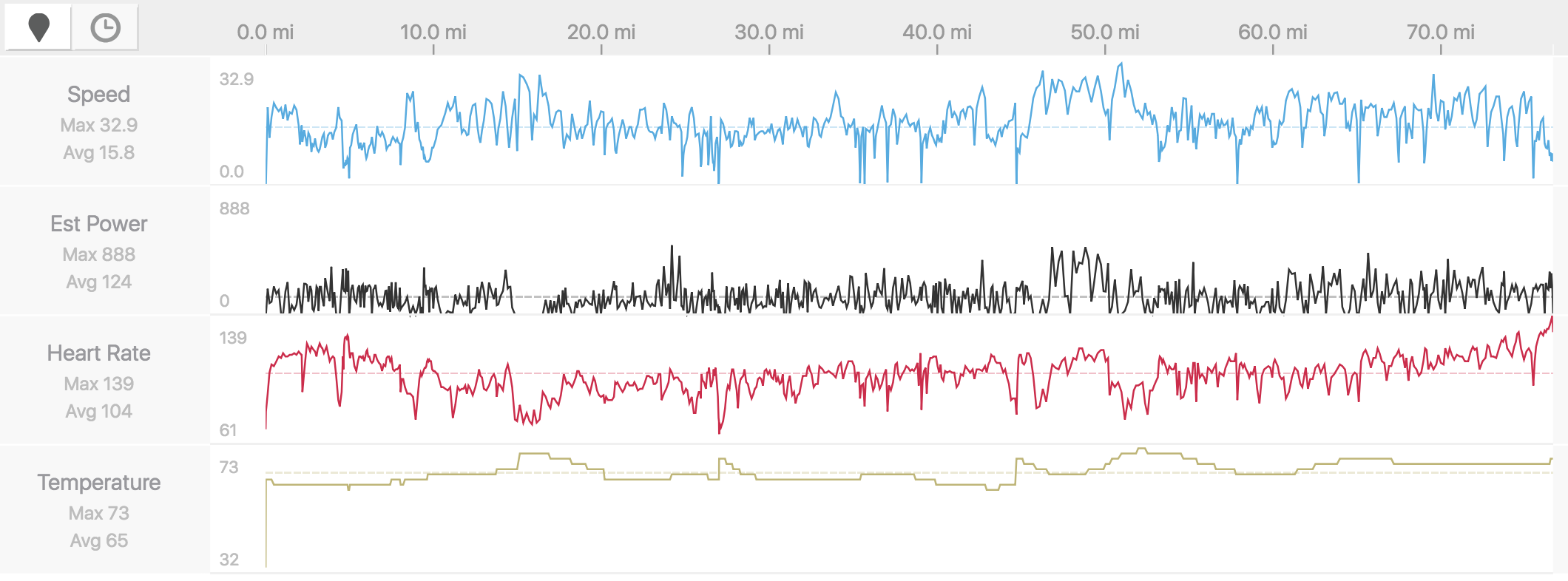 Stats. Note increasing heart rate towards the end
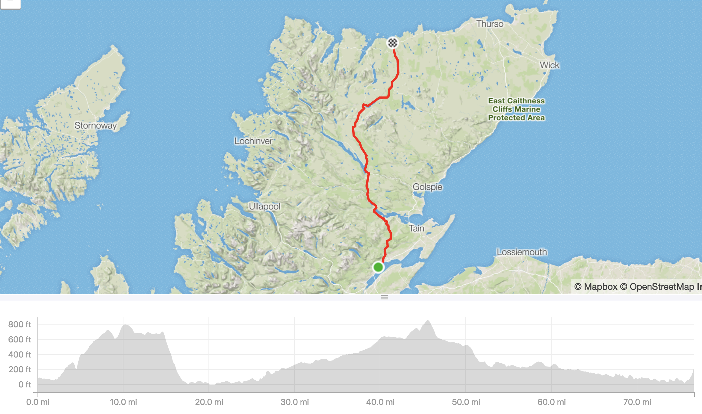 The route and the profile. You can just see the climb into Bettyhill at the end
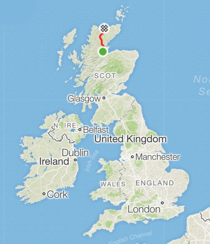 Getting there!
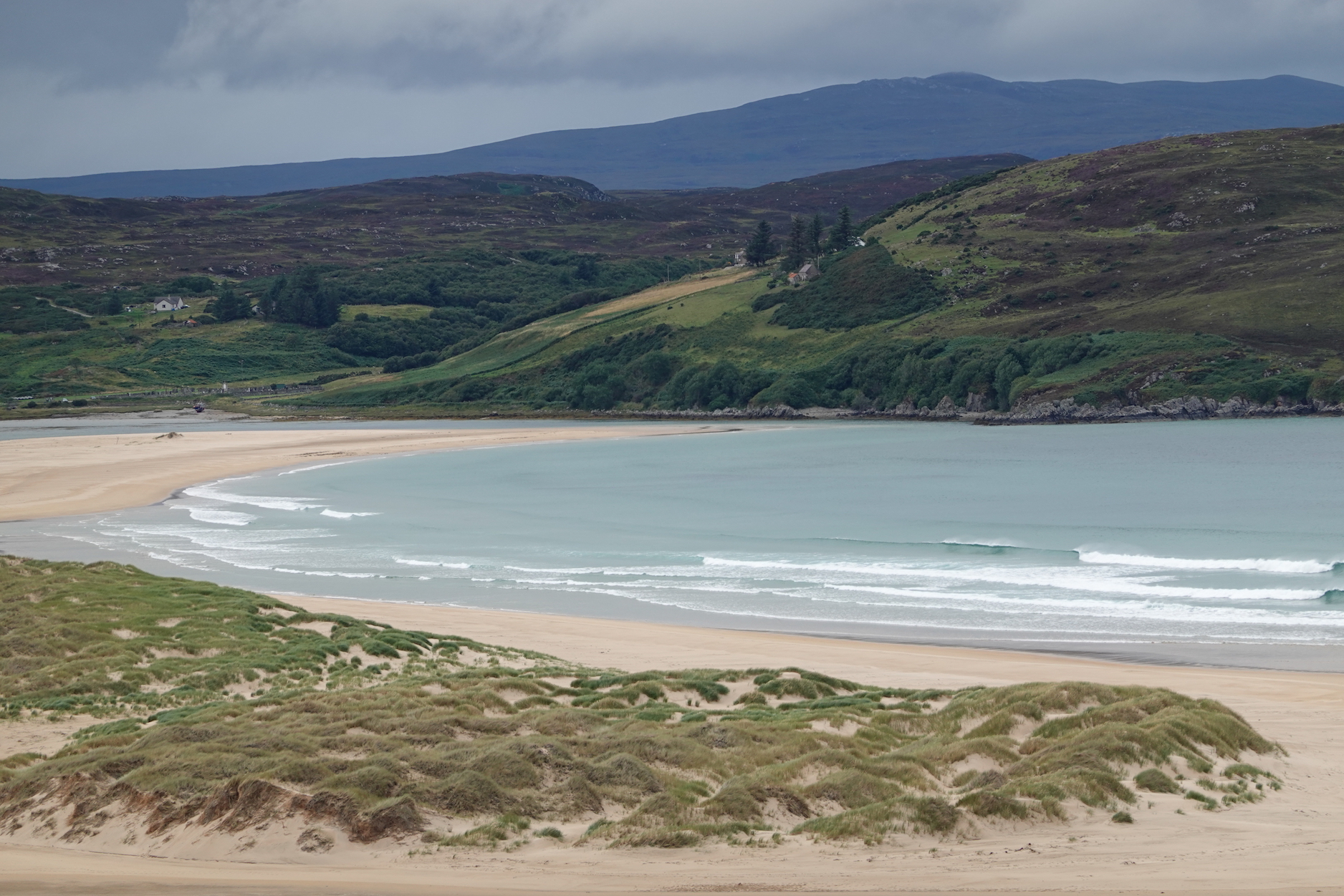 Bettyhill from our hotel
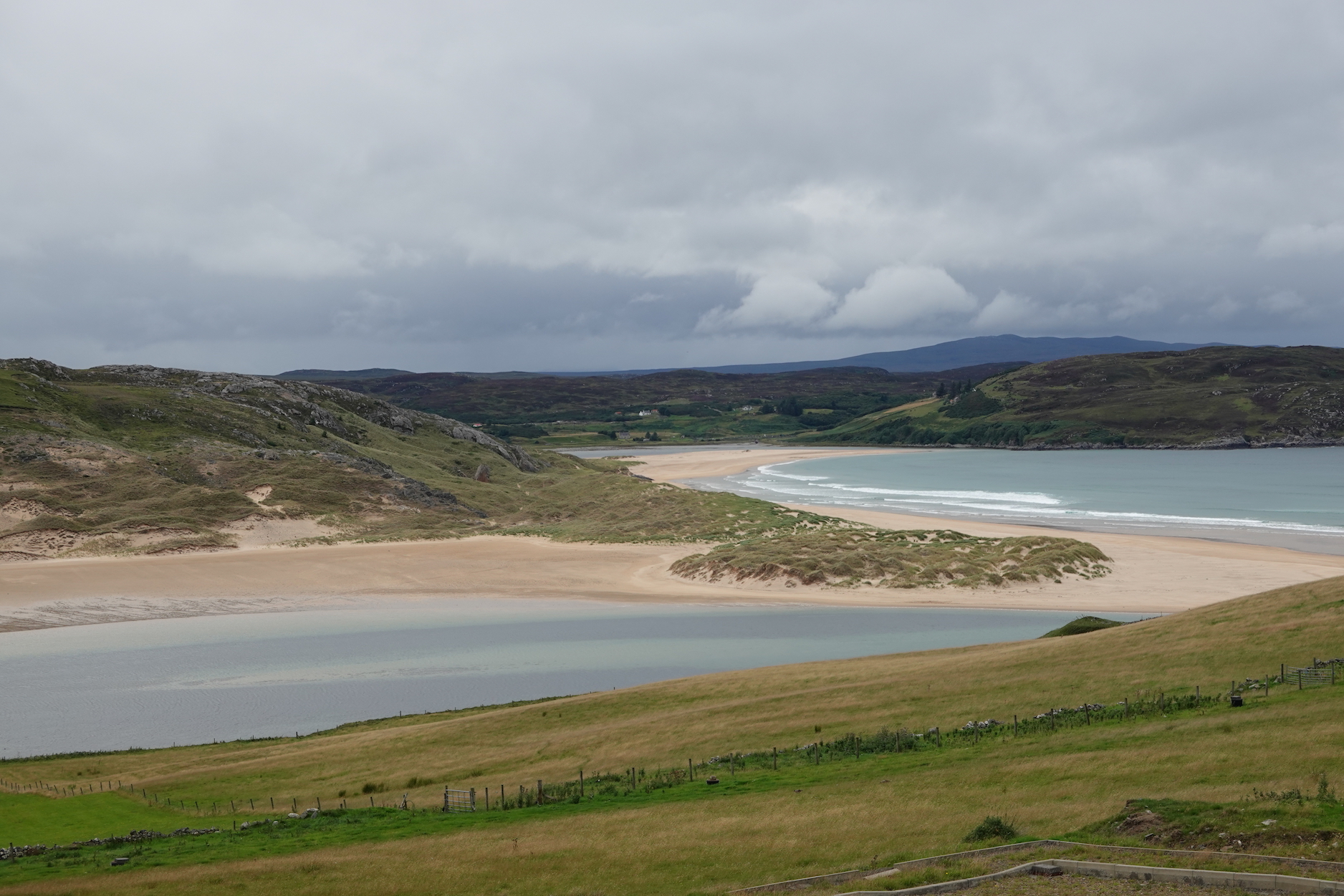 Bettyhill from our hotel, zoomed out
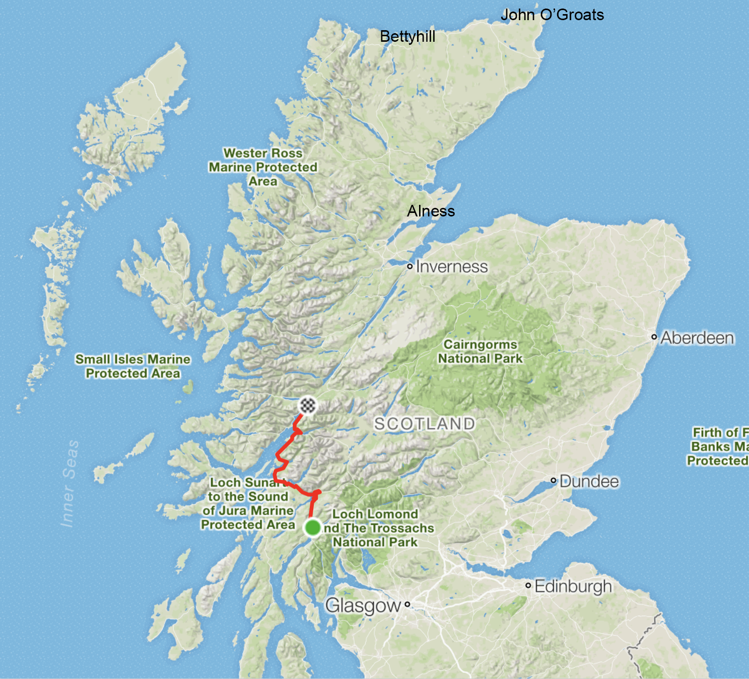 What’s left
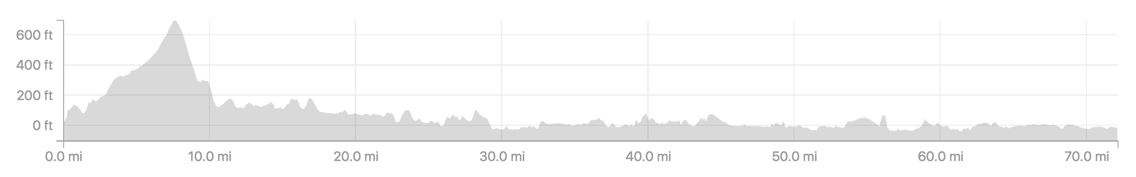 The profile of today’s ride
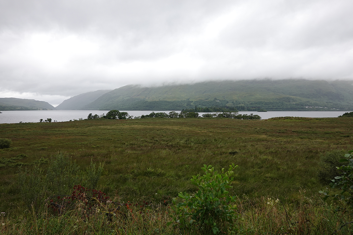 A moody view over Loch Awe
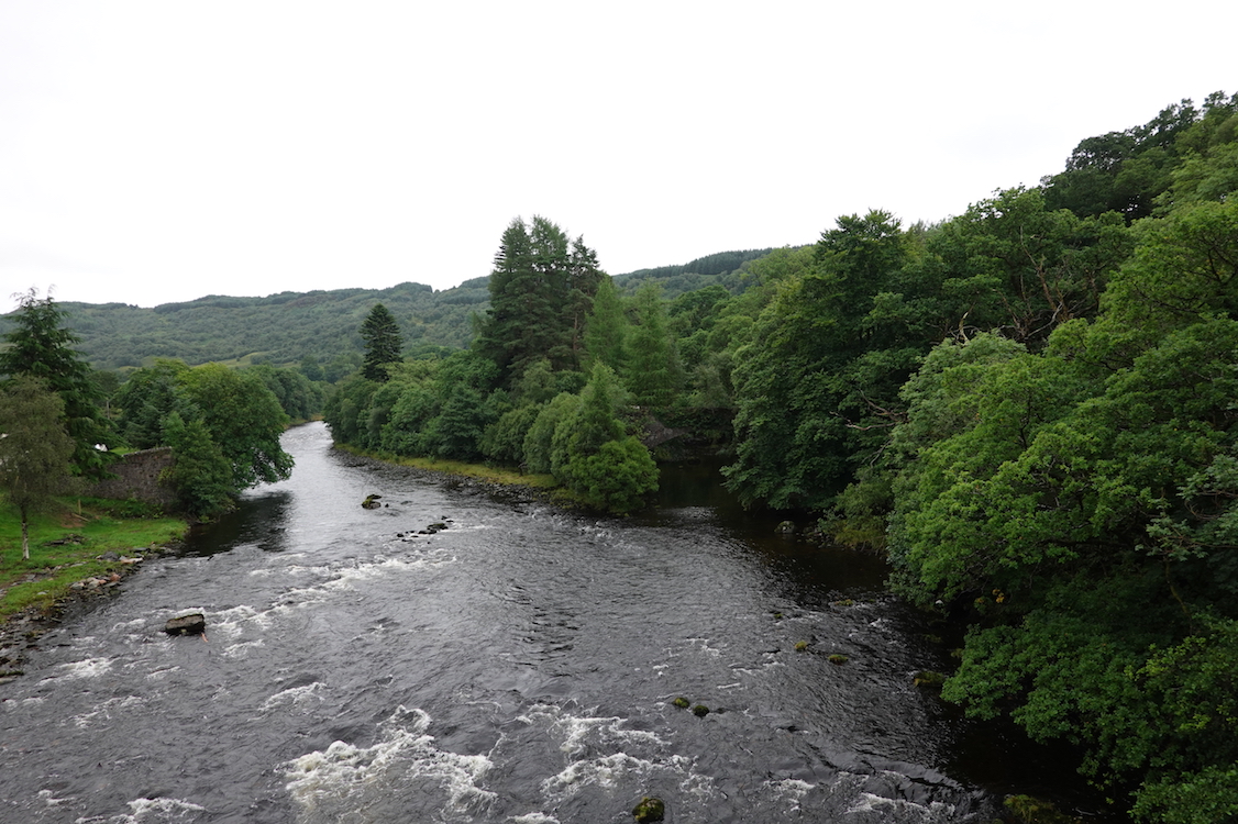 From the bridge of Awe
 Holiday destination, August 2016
 A view from the cottage
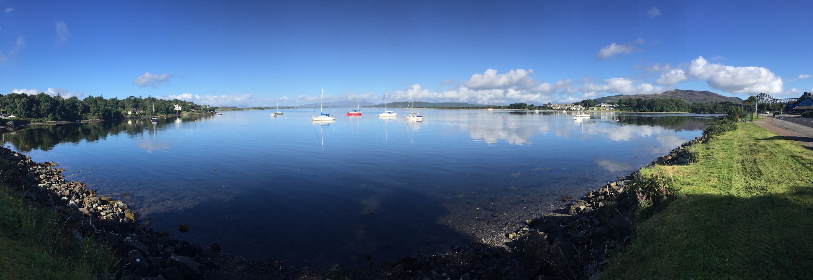 A sunny holiday panorama
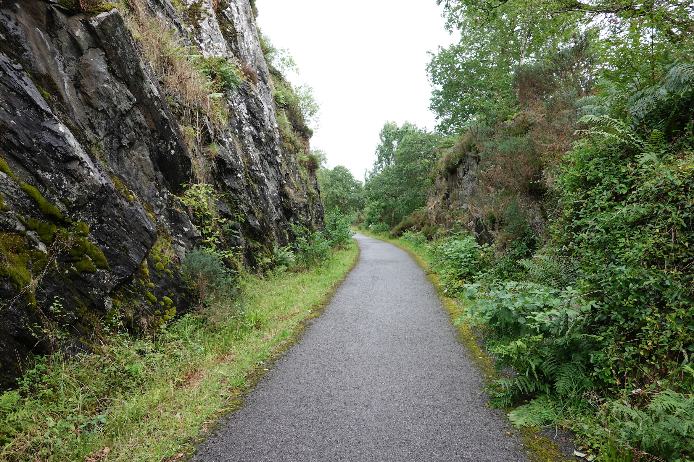 Typical section of cycle path
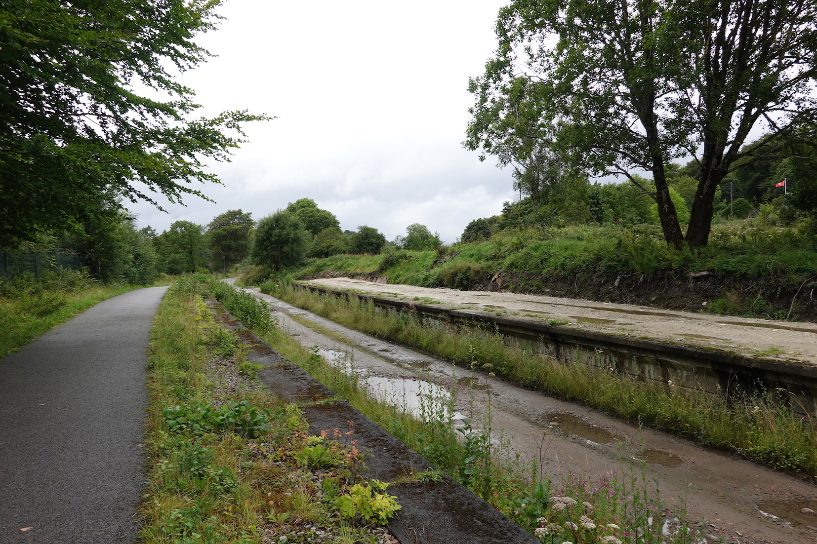 Appin used to have a railway station
 Wide angle
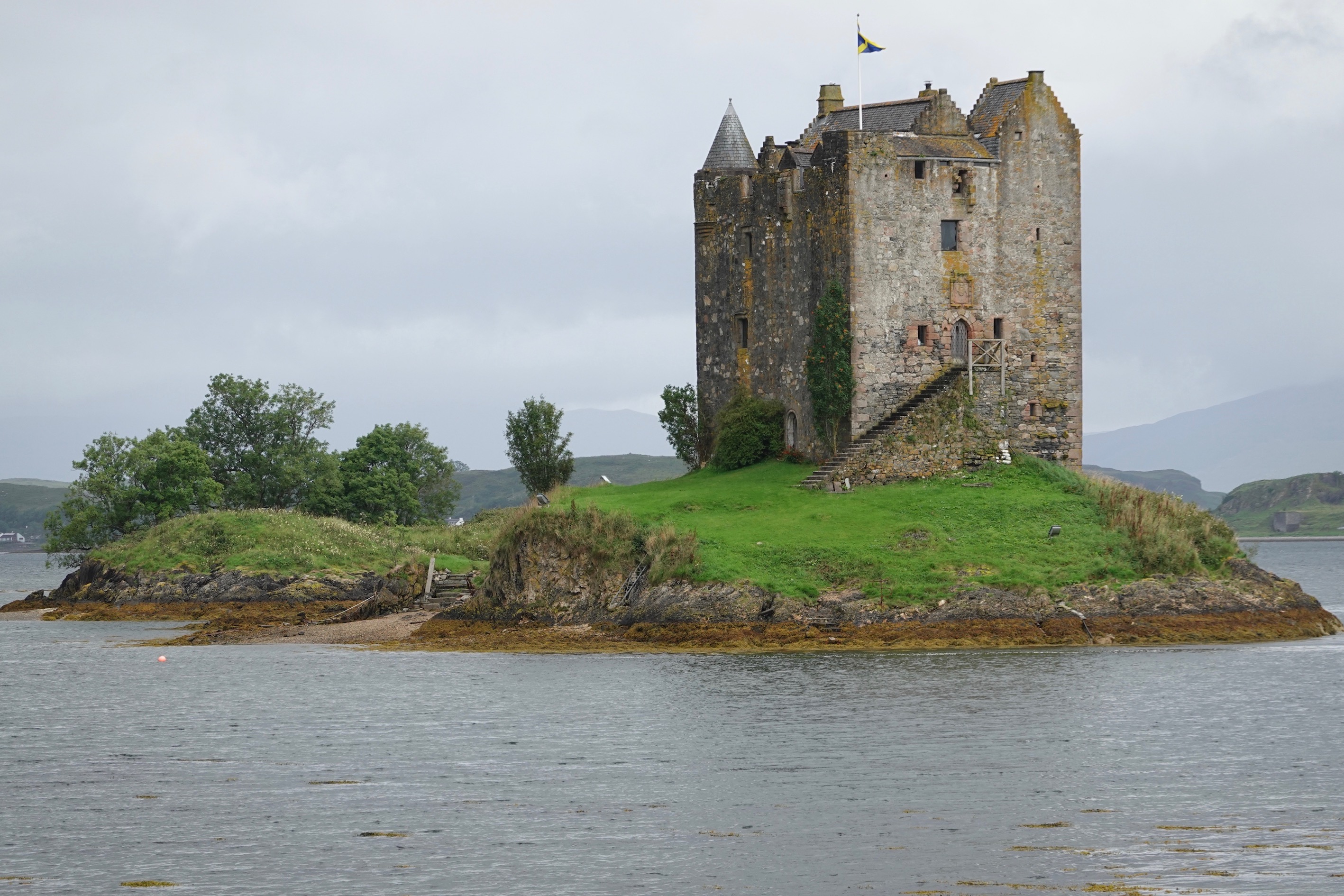 Zoomed in
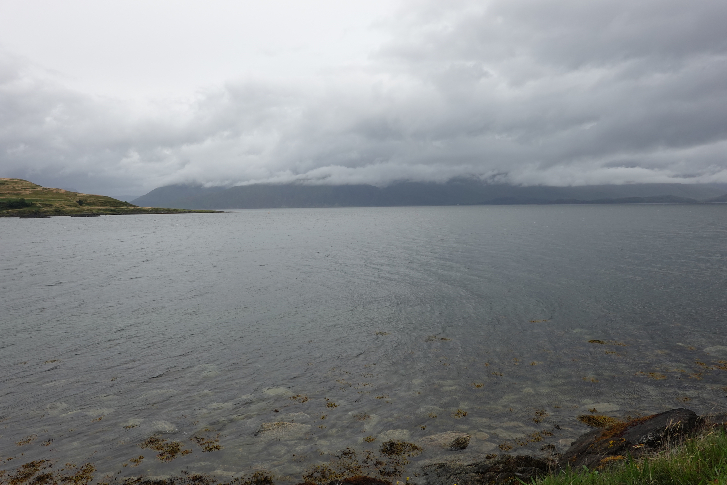 Final moody photograph
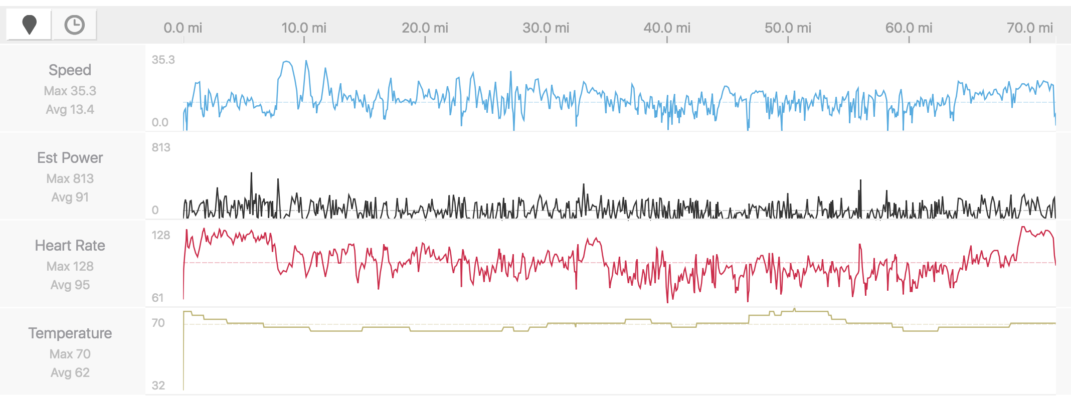 My stats