Ravenstonedale to Ecclefechan
Ravenstonedale to Ecclefechan…who wouldn’t love typing that? I looked at the etymology of Ravenstonedale on Wikipedia, but all it said was “The origin and etymology of the name are obscure. An alternative spelling may be Rausyngdale”. Fortunately, Wikipedia is more forthcoming on the etymology of Ecclefechan, saying “The name Ecclefechan is derived from the Brythonic for ‘small church’ (cognate with Welsh eglwysmeaning church and bychan meaning small, which has the form fechan following a feminine noun). After Gaelic later spread in the area, the belief arose that the name derived from the 7th century St Féchín of Fore.” Much better!
Wikipedia also points out that Ecclefechan is the birthplace of Thomas Carlyle, and that the ‘The Arched House’, where he was born, is a tourist attraction. (Tourist attractions are almost invariably described as being ‘popular’, so I was intrigued to see the adjective missing in the Wikipedia article. Is it an unpopular tourist attraction?)
The ride
We spent Saturday night in the Fat Lamb in Ravenstonedale, and the name and the weather and the landscape and the look of the pub reminded me irresistibly of the Slaughtered Lamb—the pub at the beginning of John Landis’s An American Werewolf in London. I didn’t go out on the moor last night, and I hope there are no newly-created lycanthropes amongst my cycling colleagues.
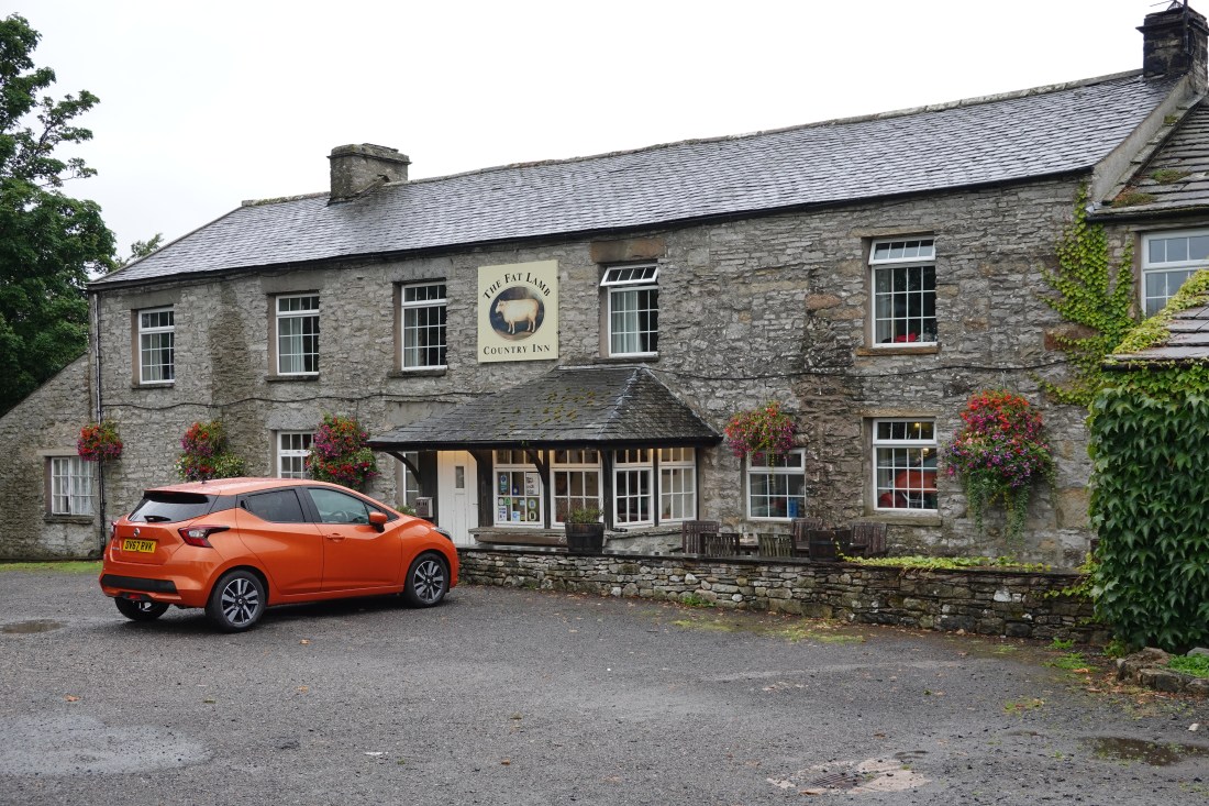 The Fat Lamb
It rained during the night and in the morning, and I was cross with myself for leaving my waterproof cycling overshoes in the Wellcome building—especially because everyone else seemed to have a pair. But the rain eased during breakfast, and was a mere drizzle by the time we set off.
Rob had warned us to be careful out there. As any regular TV watcher of the Tour de France will know, whether from Phil Liggett and Paul Sherwen, or from the more measured tones of David Millar, the rain makes everything slippery, but especially white lines and any metal grids we might encounter.
The beginning of our ride re-traced the end of yesterday’s—winding, but this time downhill rather than uphill.
 Setting off this morning
I went fast (for me) through Soulby and then Burrells, passing a sign for Musgrave. This reminded me of the Sherlock Holmes story The Adventure of the Musgrave Ritual, which is remarkable not only for the story but for the fact that it was narrated by Holmes and not Watson, and that part of the ritual itself was adapted by TS Eliot and used in Murder in the Cathedral. I wonder if Conan Doyle knew a Musgrave, or if he took the name from the village.
Our first stop, albeit brief, was in Appleby-in-Westmoreland, where Allison met some members of her cycling club, who were there to support her efforts to raise money for the Teenage Cancer Trust. That’s Allison on the right, with her guardian angels. Allison, her friends and Lisa formed a mini peloton together, and I went ahead as best I could.
 Allison and her friends raising money for the Teenage Cancer Trust
The rain was just about holding off as we approached Newbiggin, and I think I took off my rain jacket at about this point.
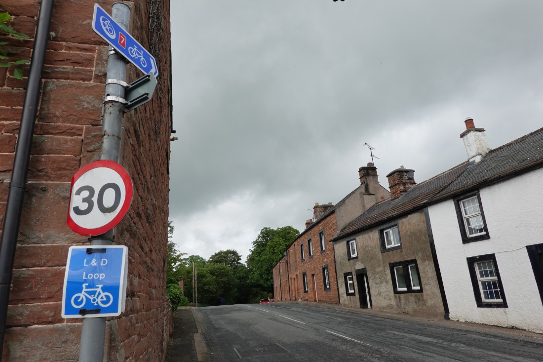
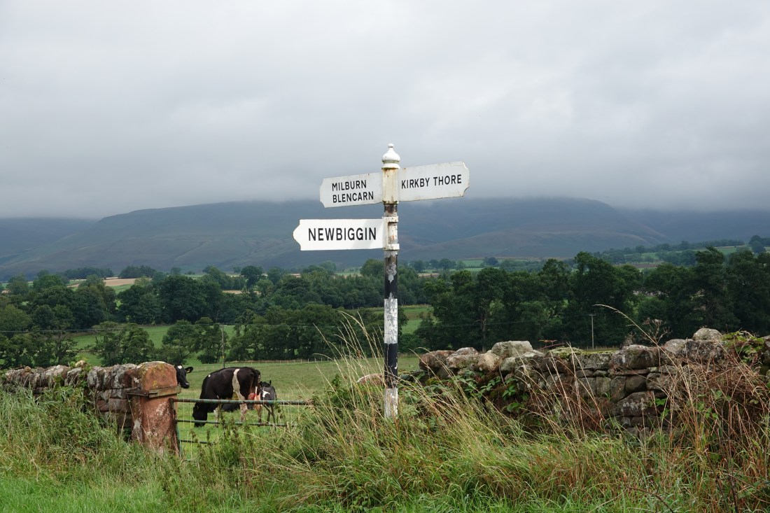 If I take photos of signs at least I know where I was
Next stop was Langwathby, which Ian will remember from our C2C ride many years ago (Ian, how many years was it?). This village marks the beginning of one of the most challenging climbs in UK cycling: Langwathby to Hartside. I remember it as being really really tough, but Rob said at our breakfast briefing that we had already done climbs tougher than Hartside. I was inclined to believe him, but he also said that we had to watch out for the wild Haggises when we got into Scotland, that a Scottish mile is a different length from an English one, and that the Scots have their own banknotes. What to believe?
 A C2C direction arrow in Langwathby
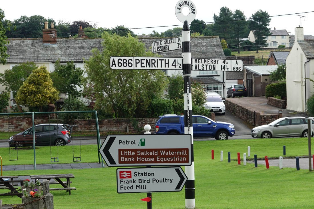 A signpost in Langwathby
During yesterday’s ride I managed to miss several steam trains, including (apparently) the Harry Potter Express. As he passed me in the van, at some point after Langwathby, Rob told me that the Express might be coming down this line soon, so I took a photograph of it. I can always Photoshop the train later.

The excitement at Armathwaite was a very big puddle, and because my bike was still clean, I walked around it. Just before I did so a train passed over the viaduct to my left.
 Train over a viaduct
 Big puddle
My attempts to keep the bike clean were for naught, however. At about 60 miles (out of 77.4) we turned onto a rather attractive cycle path, whose surface was (for me) highly treacherous. Here is the beginning of the path.
 Beginning of the path
Here is a cow laughing at me after I fell over and landed in a clump of nettles.
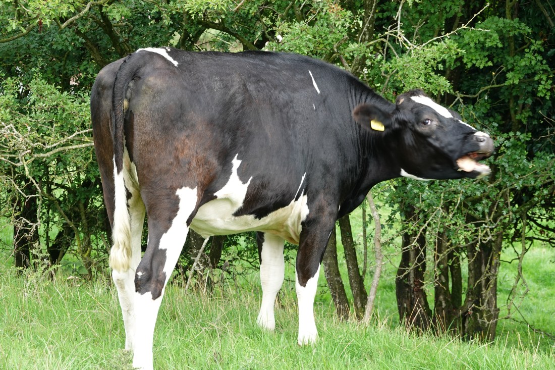 La Vache qui Rit
And here is the path afterwards, when I rode much more carefully.
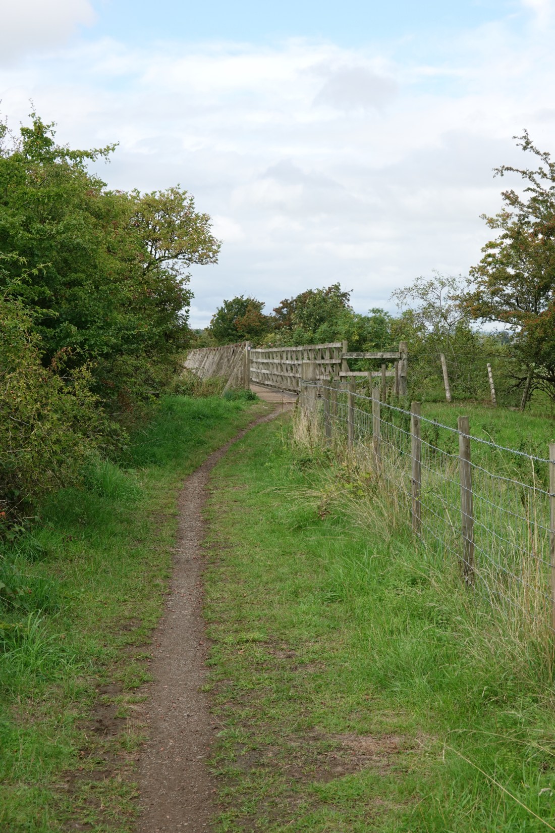 Path with bridge ahead
Here is the view from the bridge you see above.
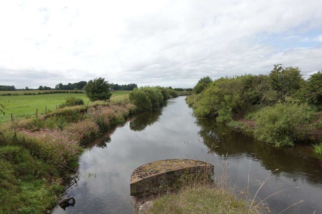 View from the bridge
It wasn’t long after this that I found myself on the A7, with the sign you see below. Rob had told us at breakfast that this sign didn’t actually mark the border into Scotland, and that it is really a few miles further on, just over the River Sark. He also said that he, Rob, had marked this with a Bike Adventures sticker. I regret that I missed Rob’s sticker, and succumbed to popular opinion by taking the classic A7 selfie.
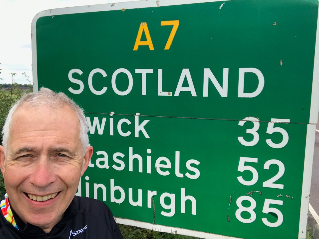 The gateway to Scotland. Note helmet hair
I was now tonking along as fast as I could, but I took a photo of the church below (and I can’t remember the name, I’m afraid) because I got chatting to a couple of German guys who were clearly doing some full-on cycle touring involving front and rear panniers and so on. They were using the Mark 4 version of the Sony RX100 M6 that I was using, and we had some serious gear conversations. I’m sure Al Downie will be able to contribute if he sees this. (The zoom range of the Mark 6 is impressive!)
 A test photograph of a church
Then it was the final six miles and into Ecclefechan. I found the hotel, cleaned my bike (it really needed it), and settled into my well-worn routine. Tomorrow is an even longer day: 84.1 miles.
Stats
Here they are:
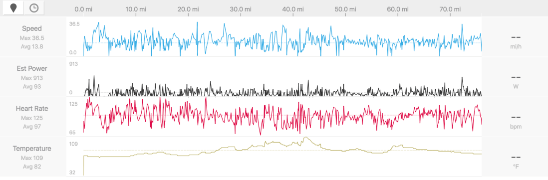 My data
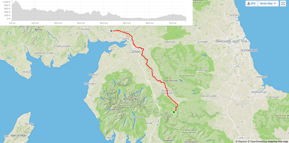 What we did on the day
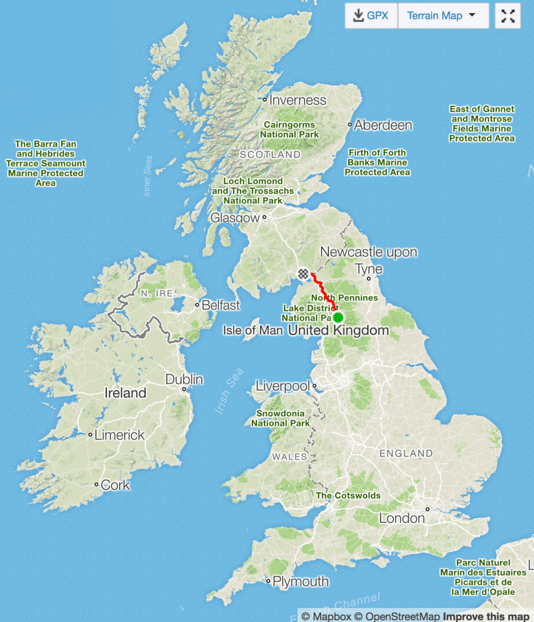 Putting it in context
